May 10: Day 13, Hella to Reykjavik
Last day today. It's a 100km run to Reykjavik. Route 1 is getting seriously busy as it's so close to Reykjavik, but it looks like my route neatly avoids it. (Turns out it doesn't.)
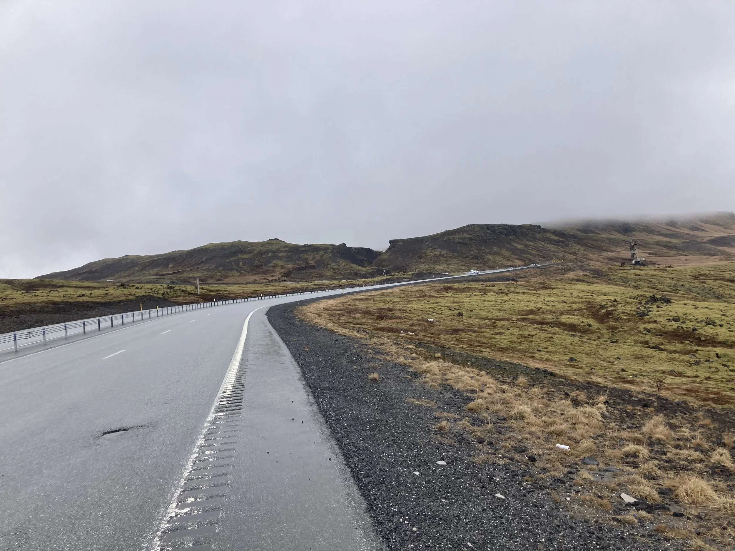
For the section to Selfoss, I'm on Route 1 but the shoulder is big and there isn't that much traffic. It is Sunday morning, after all. Rain was forecast for the afternoon but it starts early, so I get out the raincoat.
Route 1 turned into a two-lane highway at this point, but that's OK because I'm on another road. It looks like the old pre-highway road but it's in great condition and doesn't look old and neglected so I don't know. But it ran parallel to the highway and I had it to myself.
In Selfoss I make a detour to the grave of Bobby Fischer. He won the the 1972 Chess world championship in spectacular fashion, but did not defend his title in 1975 because the FIDE didn't agree to the tournament format changes he demanded. After that he went off the rails, and ended up living as a recluse in Iceland, and was buried in a (possibly clandestine) ceremony. Until 2010 when he was exhumed so a DNA test could settle claims on his estate, between his (possible) daughter, wife (whose marriage may not be legal), his nephews, and the US government (after unpaid taxes).
Selfoss also has a shopping mall that straddles the faultline between the Europe and North American plates. During construction they discovered a crevasse marking the fault. The high-rise tower that had been planned got unplanned. The fault line crosses just one corner of the building so it's likely that it was redesigned and reshaped. In the mall it's a track of glass plates in the floor, and it had a surprisingly constant stream of visitors.
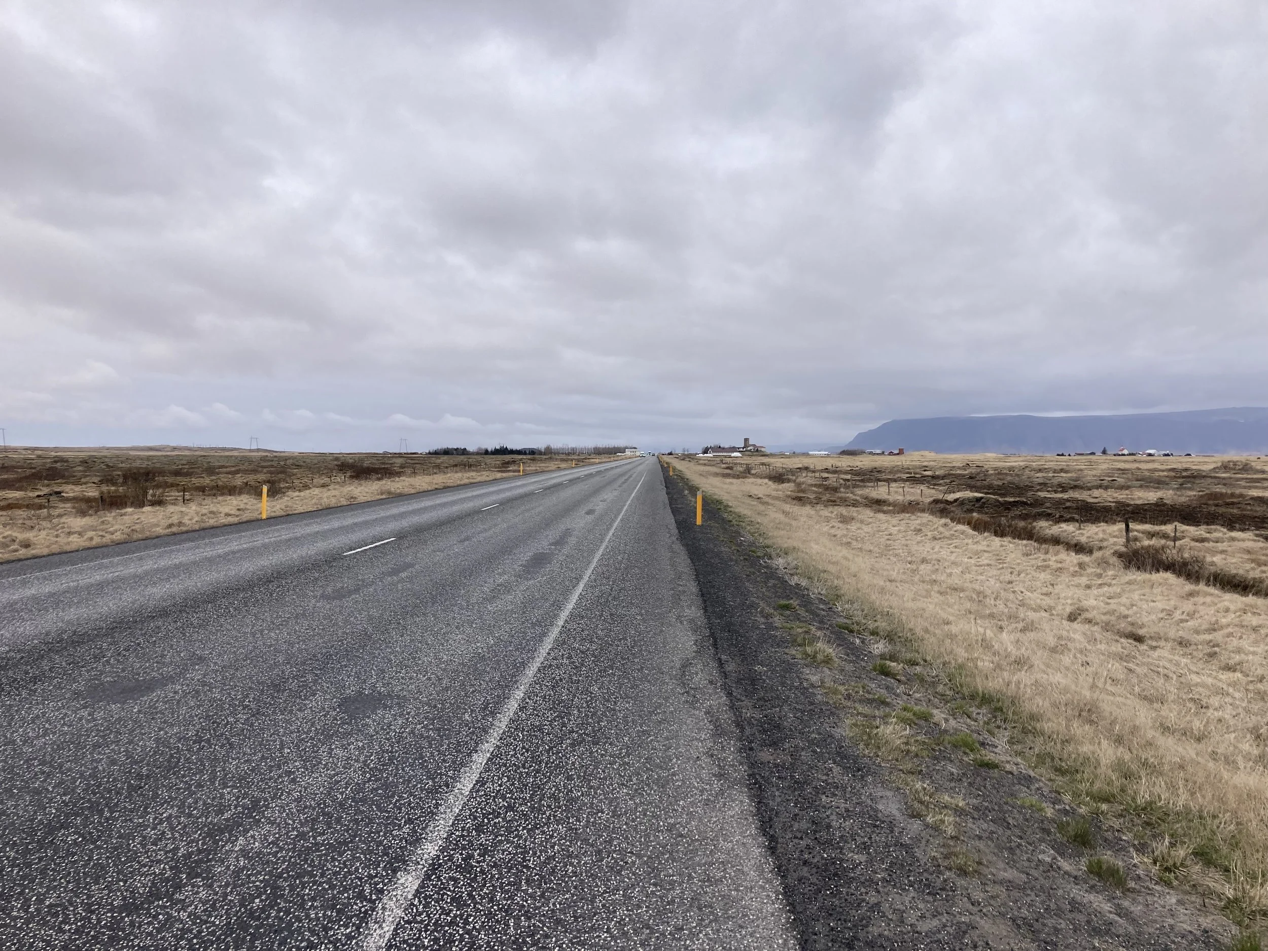
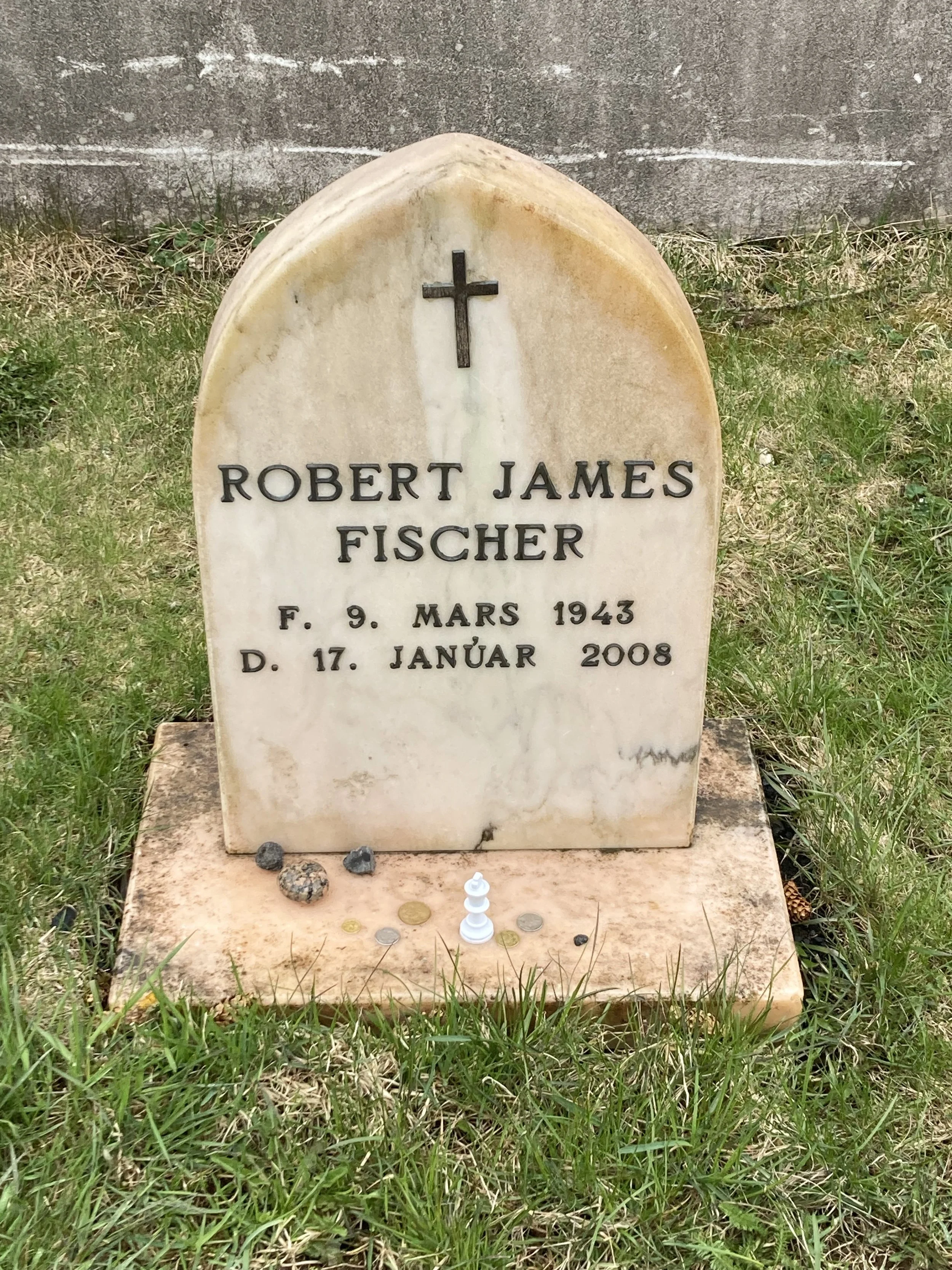
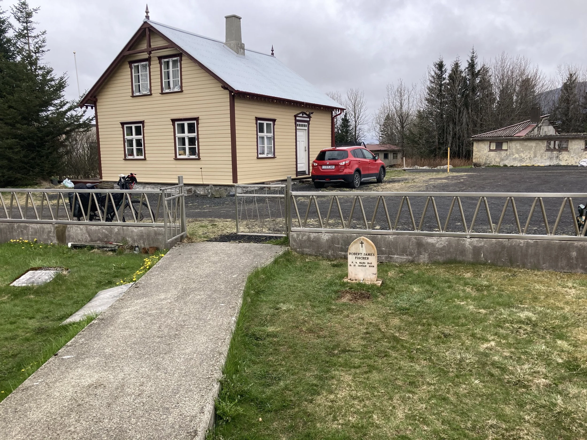
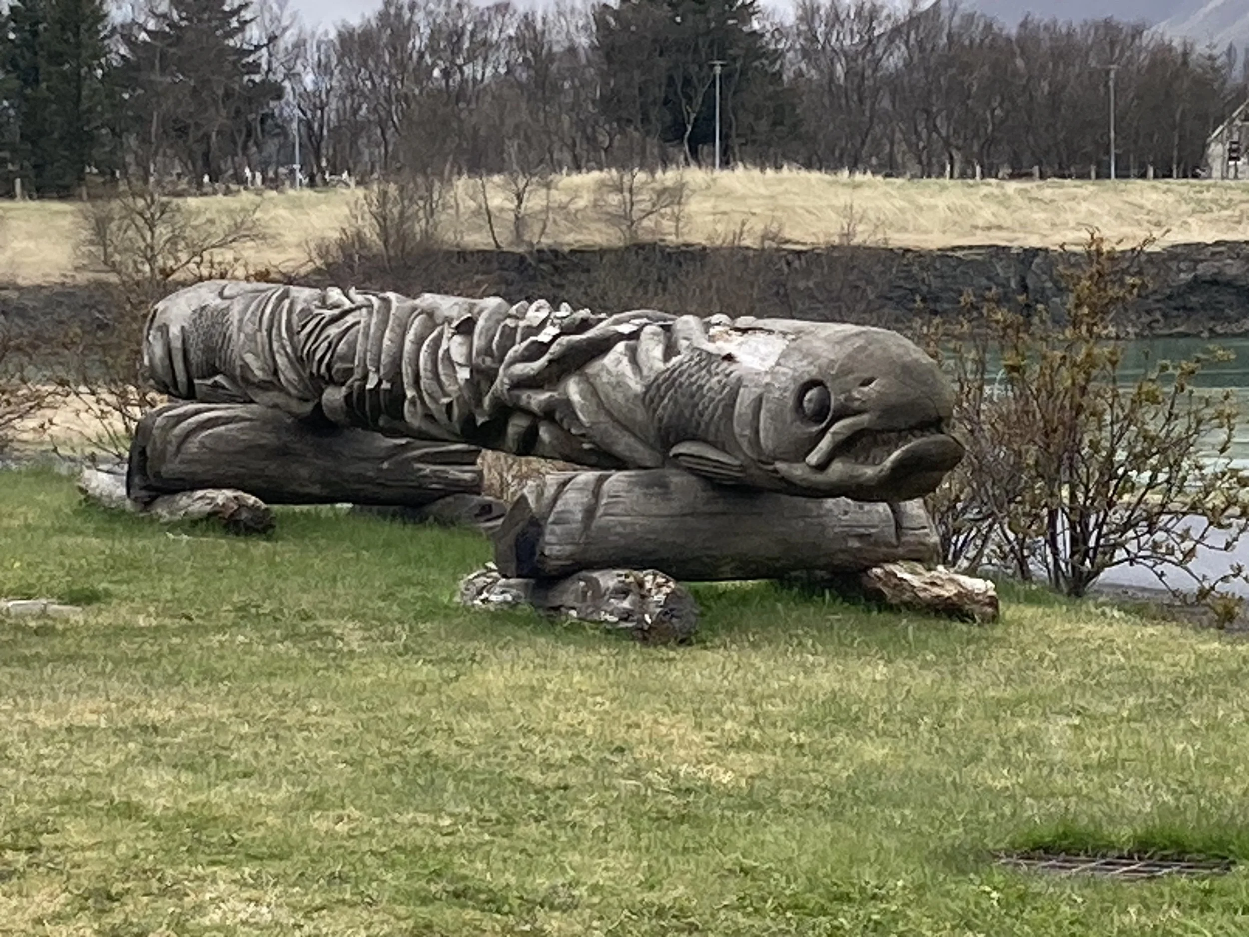
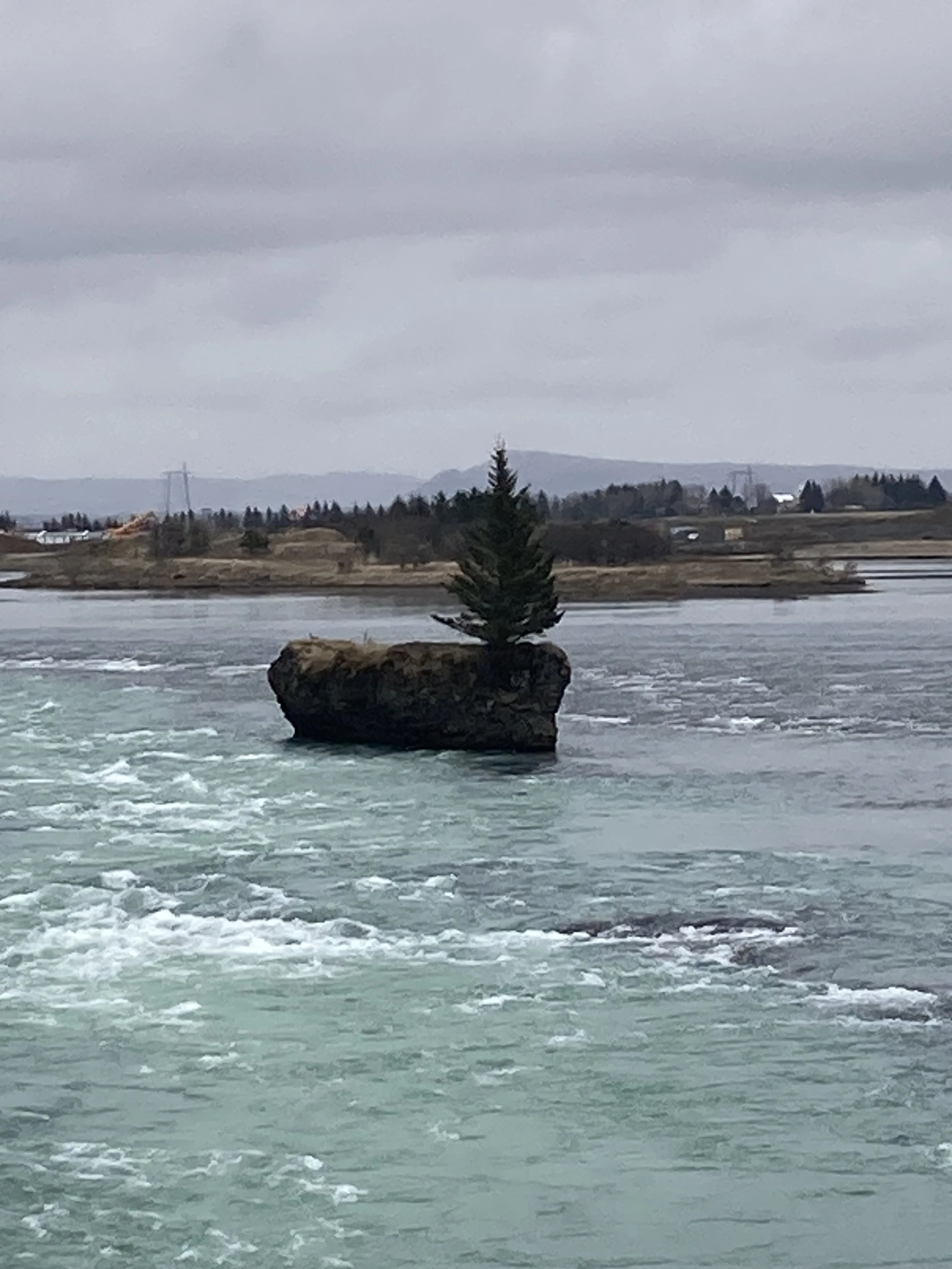
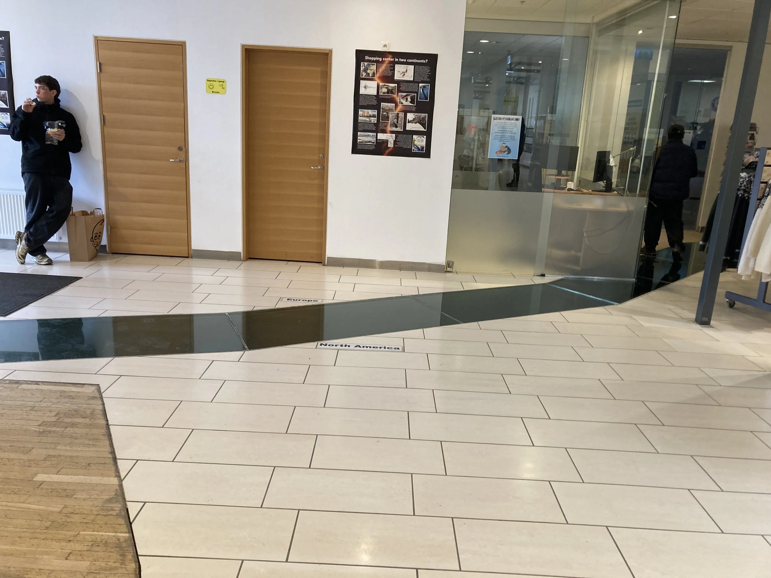
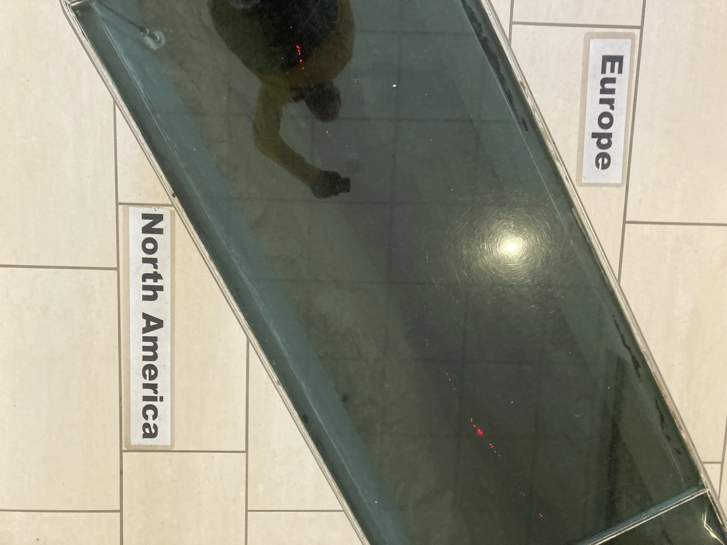
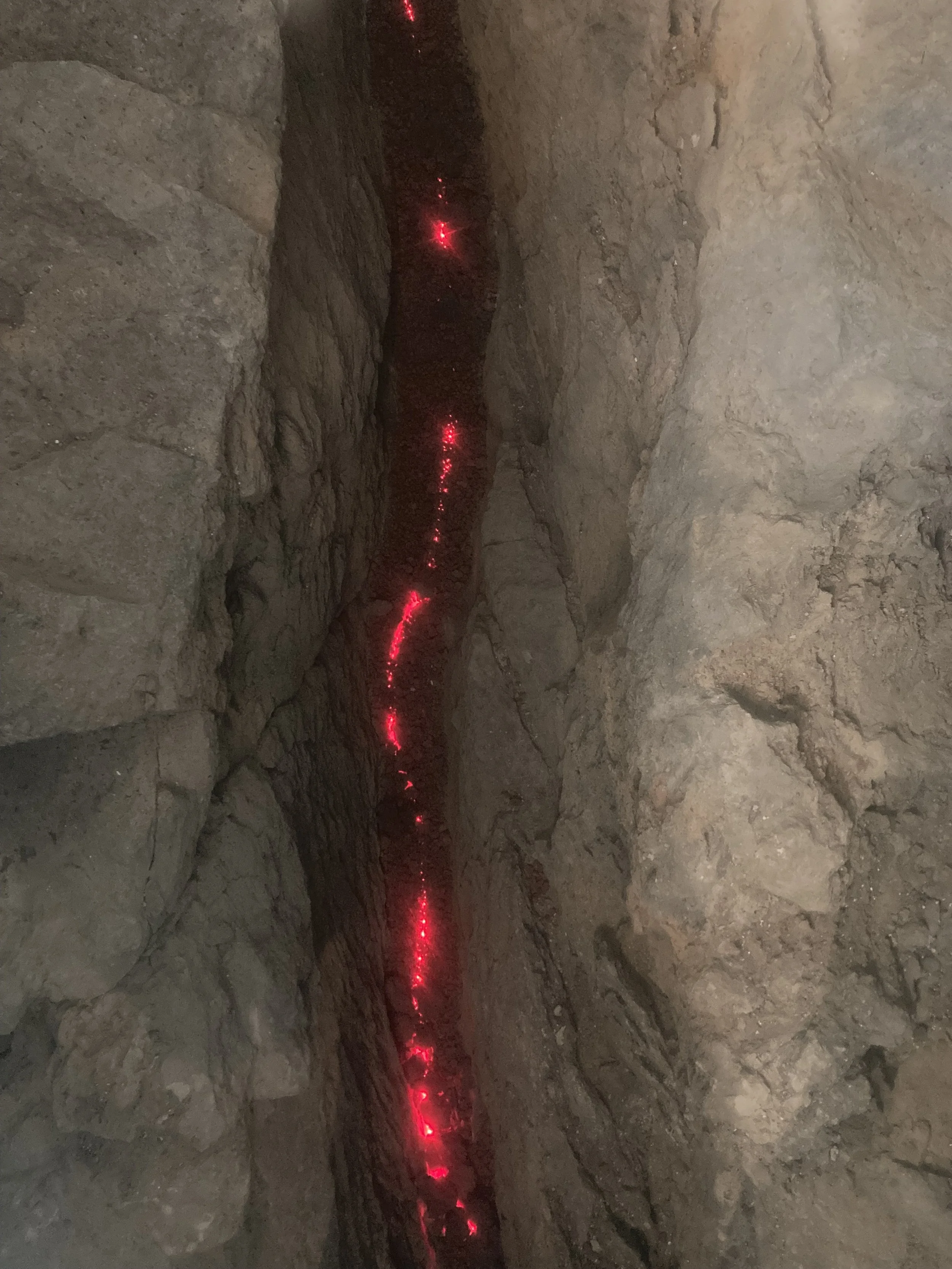
From left to right: no rain and empty road, too bad it didn’t last. Bobby Fischer’s gravestone. The wider view. Replica of a Viking settlement marker: they’d throw it in the ocean and where it washed ashore they’d build their settlement. A very determined tree. Mall with the faultline running through it. View of the glass panels. View into the faultline crevasse below - I think the glow is red LEDs but since this is Iceland, it could well be lava.
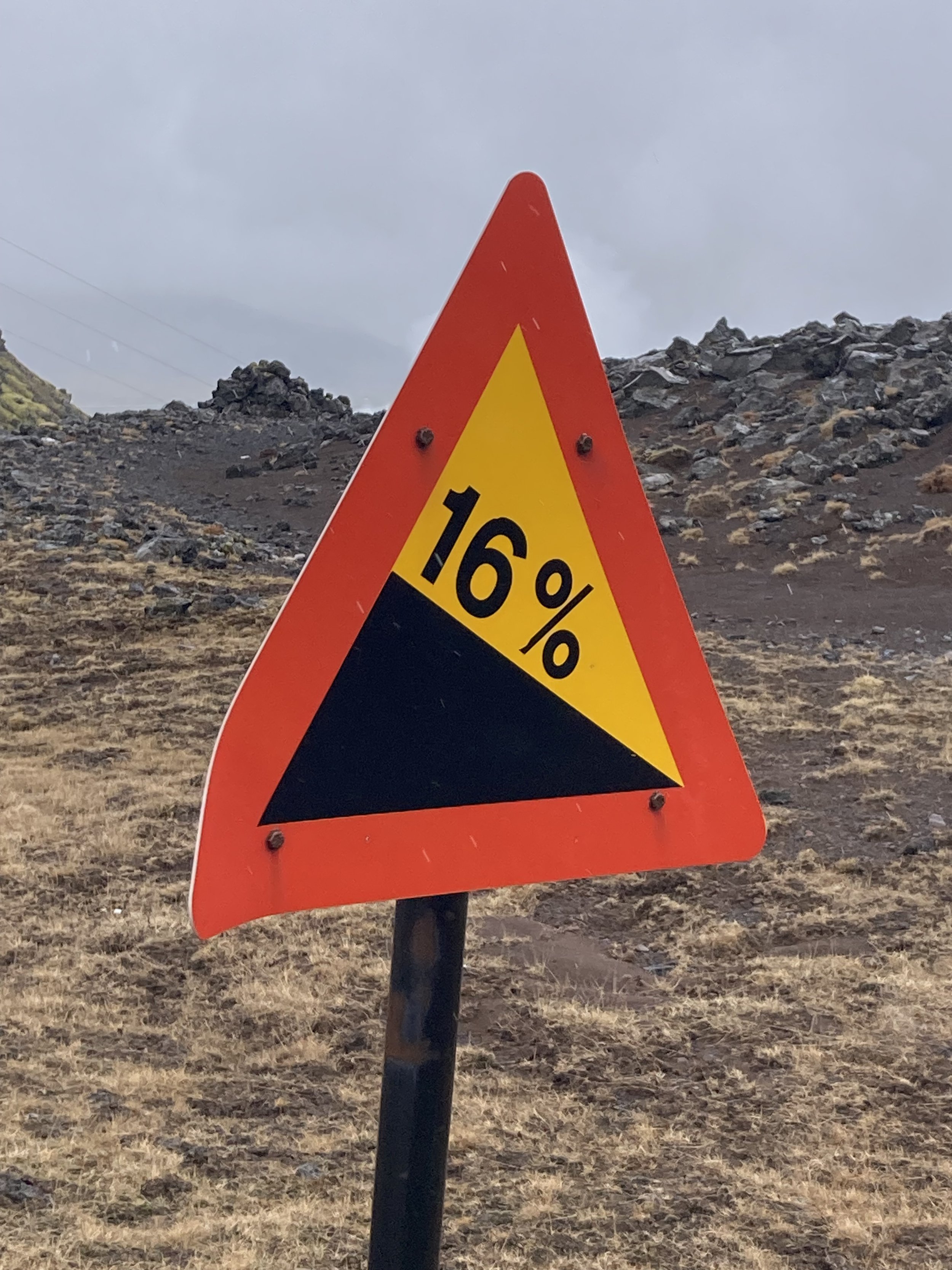
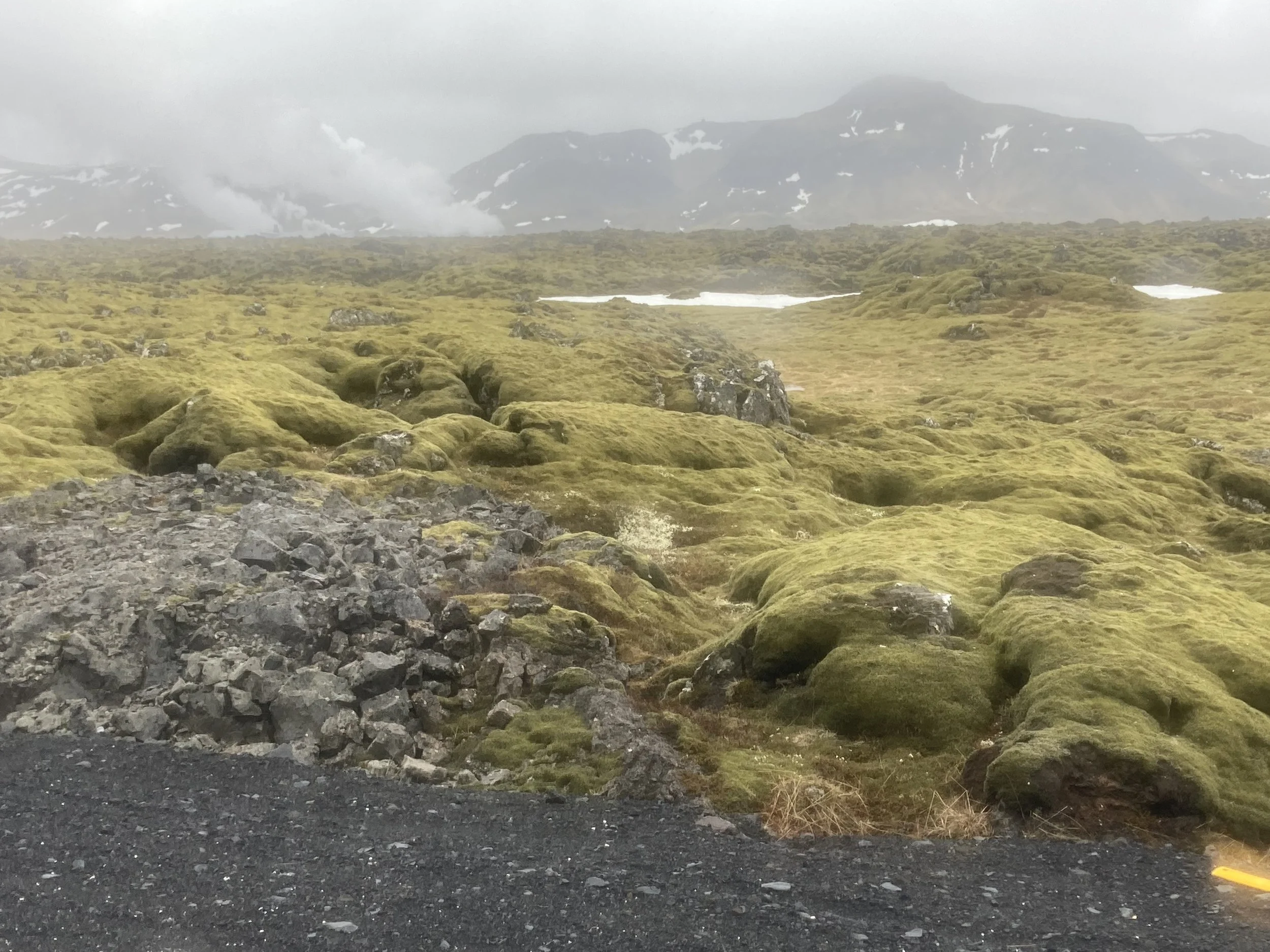
After that I rejoined Route 1 which I wasn't so happy about. The road climbed out of Selfoss and there was a decent sized shoulder; I stuck to the far right and there was enough space between me and the traffic for us both. Finally it turns into a deserted side road which runs through a geothermal area. Huge green pipes leaking steam, fine asphalt surface, all good. 16% descent, less good. Pass an active geothermal plant which is venting steam and making serious industrial noises. Pass another large architecturally designed building with a sloping roof, with a full carpark, in the middle of nowhere on a Sunday.
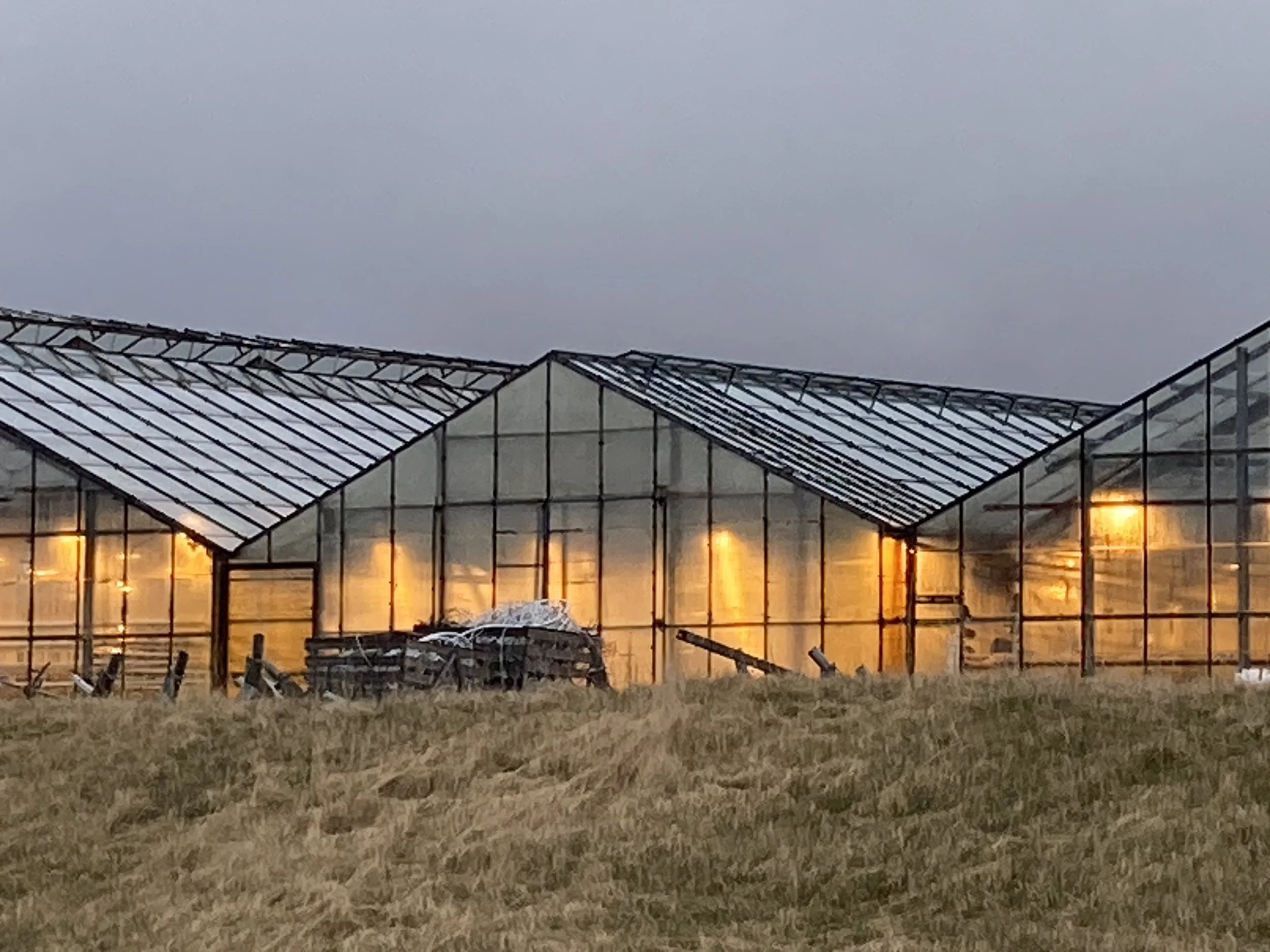
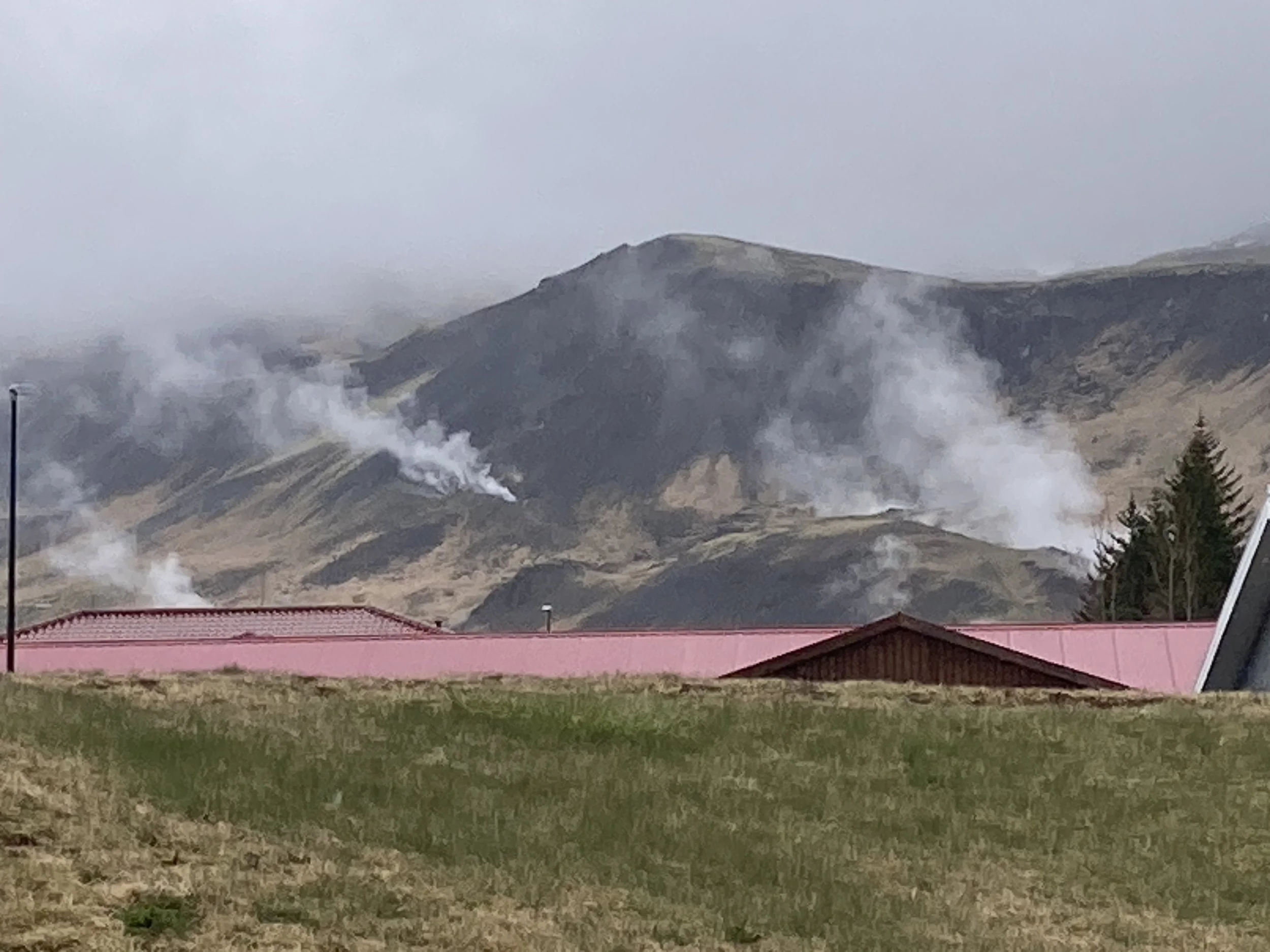
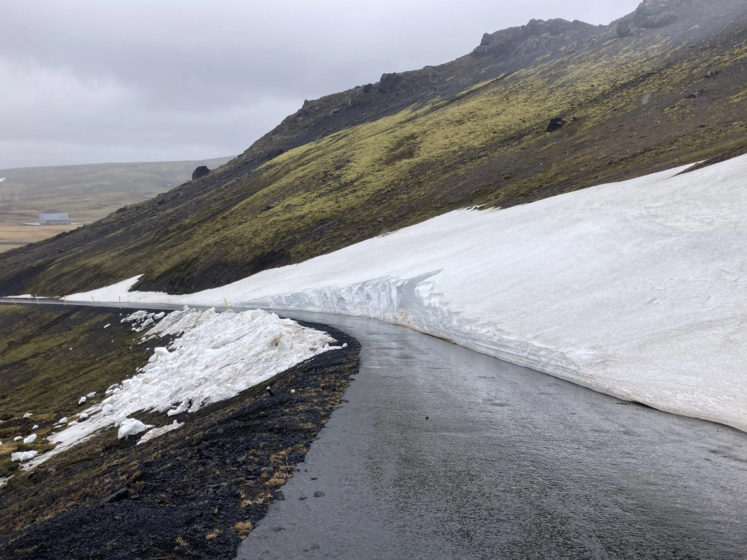
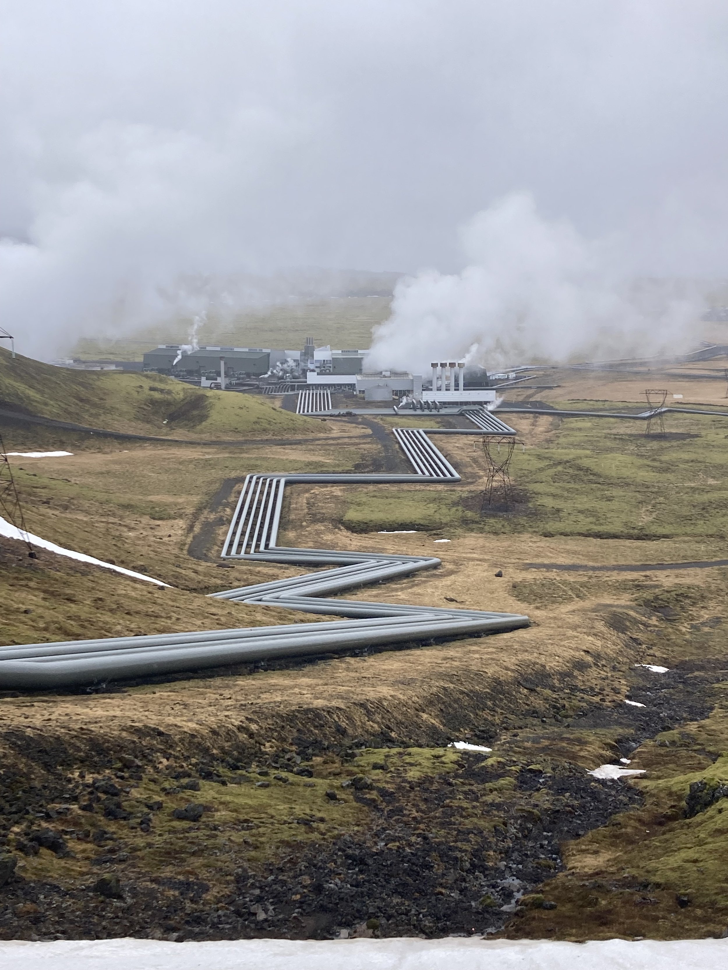
From left to right: glasshouses where produce is grown. Geothermal area. Road shoulder during the climb. Still patches of snow at the top. Quite the slope. But fortunately it’s a downslope. Hellisheidi Power Station.
Then the route takes a hard right into an unwelcoming fine-gravel access road.
I'm not impressed. I decide to continue down the nice asphalt road I'm on and rejoin Route 1; the shoulder out of Selfoss was safe enough and I'd rather ride that than wrestle the bike down a sandy road which will also mean all my gear needs to be cleaned tonight.
So I head back to Route 1, get on the shoulder, and get going. It’s all good for a few hundred meters, when the shoulder shrinks to a foot wide, with rumble-strip ruts. It's unridable. I get off the road altogether.
The space beside the motorway is an especially dismal place to be. It needs to be kept empty to kept the driver's view clear, but the way that's arranged is basically neglect. The ground is lumpy clay/dirt with lumpy moss/rock. I can ride but it's slow and bumpy.
I probably should have gone back, but I optimistically pressed on, in hopes that the road shoulder would return. (It didn’t.) There's all sorts of rubbish scattered around, which presumably came from passing cars: a broken zip tie, plastic strapping, plastic parts. Heavy things. I guess the light stuff has blown away.
The road shoulder was still too thin for me to trust and I was now starting to wonder if I should go back. Google Maps shows there’s a sideroad and I'm a third of the way to it, I figure it's best to continue.
Did I mention that it's raining? It was grim. I bumped unhappily along for half an hour to get to the turnoff. It was the same fine black gravel that I'd avoided earlier, but I'm willing to take it now. It meets Route 1 at an abandoned cafe, and the whole area is surrounded by "under construction" signs and some big piles of fine black gravel. I circle around and the way onto the side road is not actually blocked off - so that means I was meant to take it.
The side road is neglected and wet and the gravel is too soft to ride on so I carefully ride down a recent tyre track. I can feel the fine black sandy gravel being sprayed all over my panniers and my clothes.
From left to right: beside the highway. Same spot, different direction. Where i rejoined my recommended route. This is the gravel road.
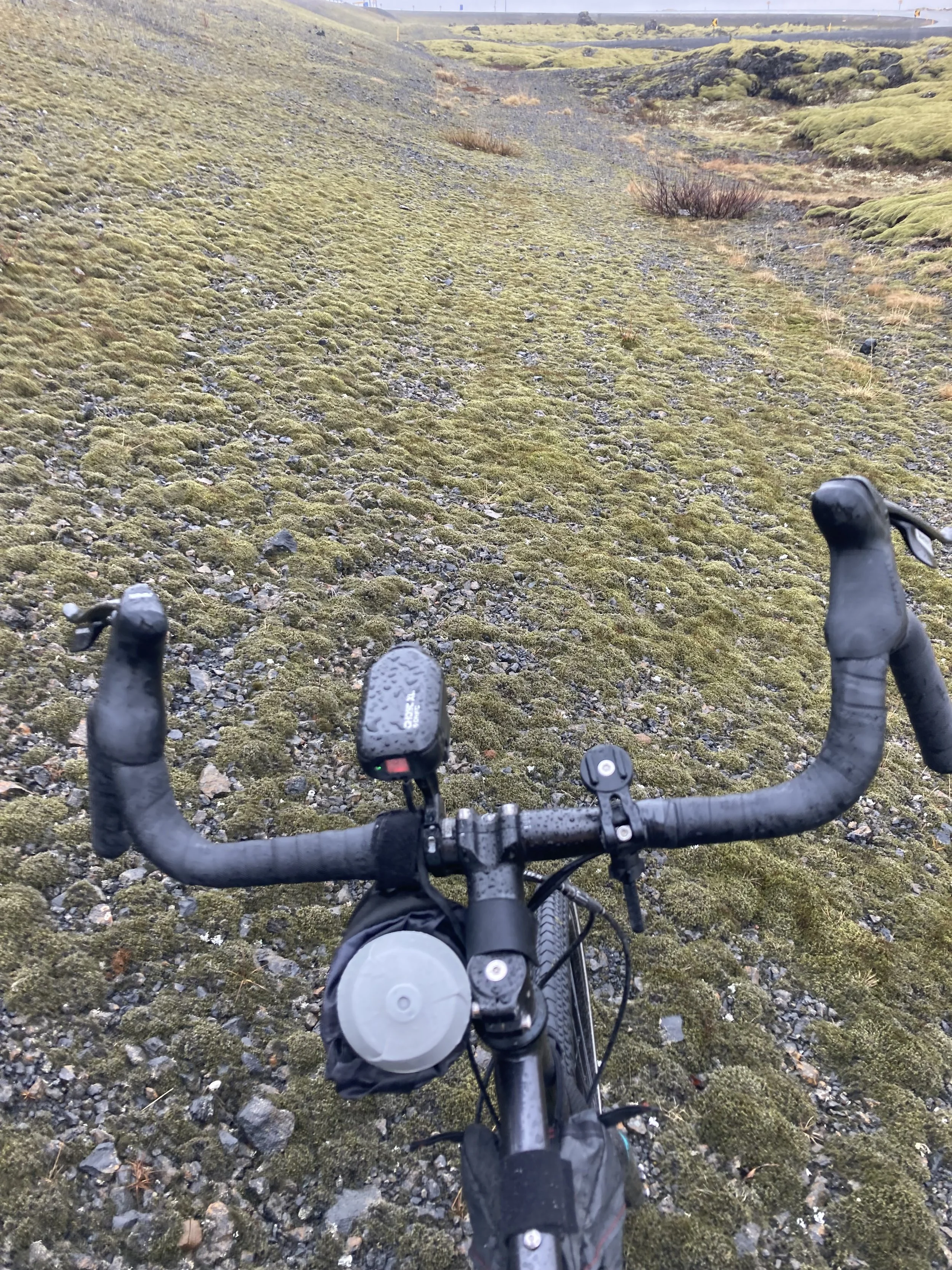
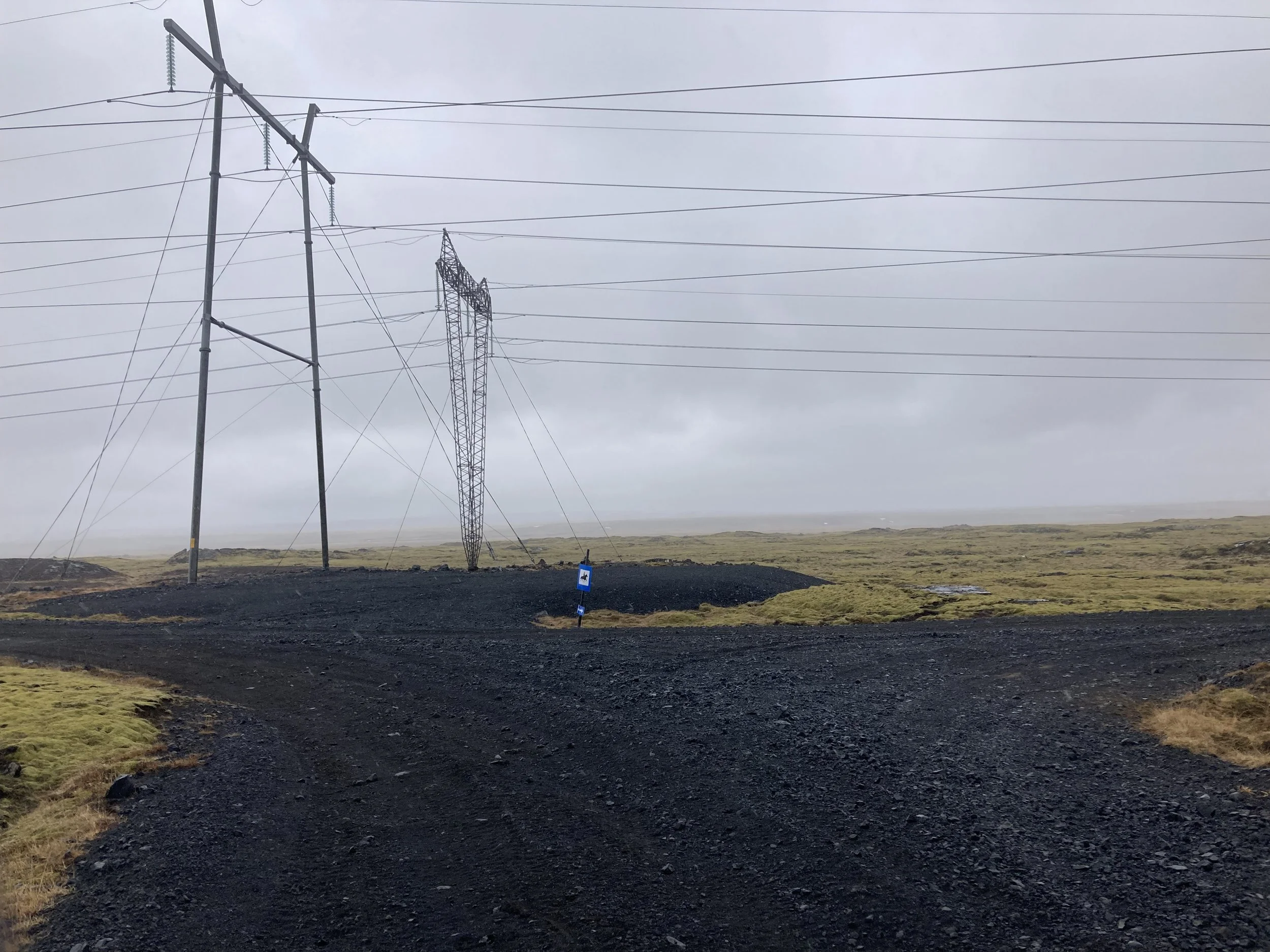
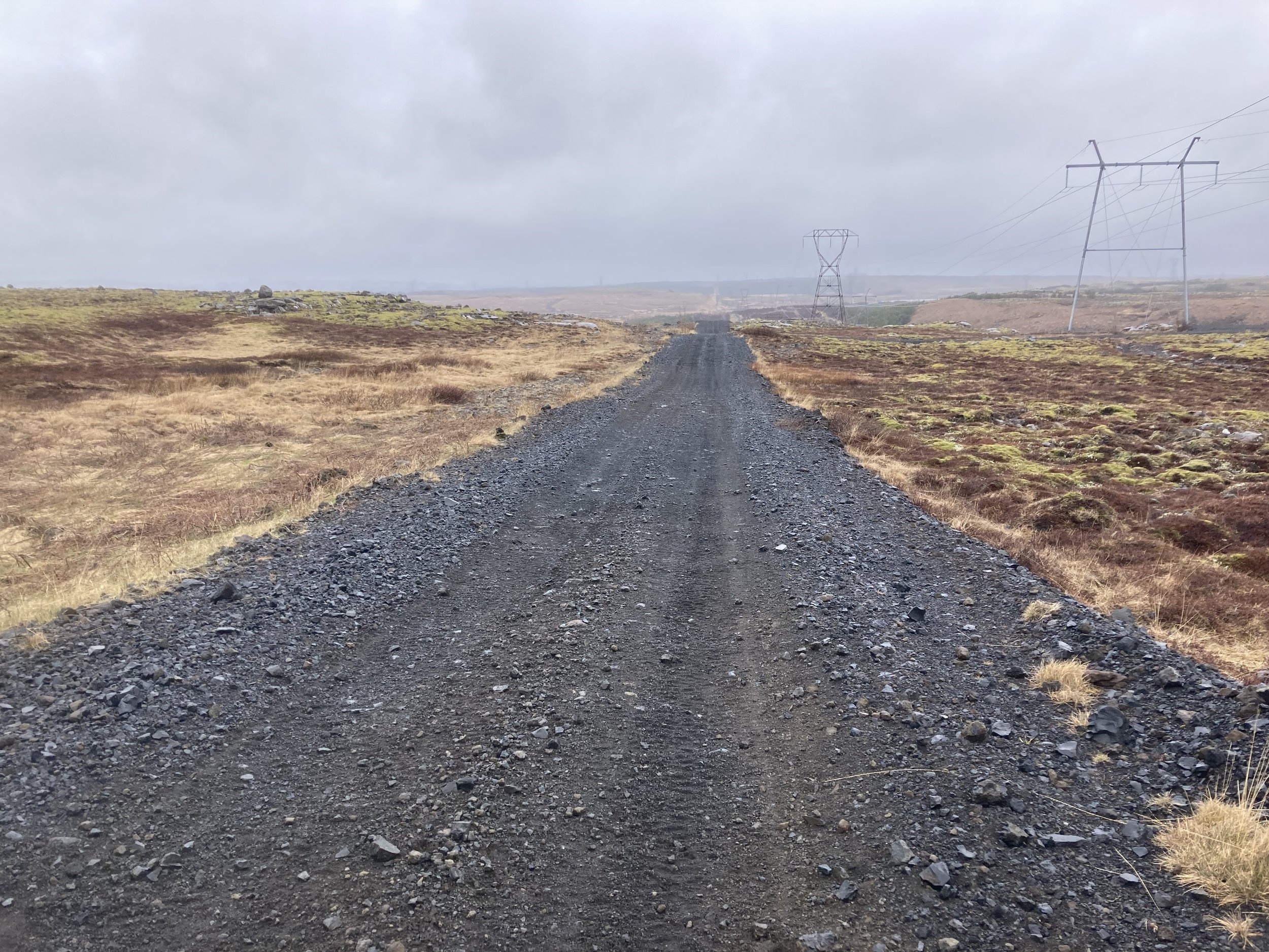
But it does take me to my recommended route. It’s actually an access road for the powerline running from the geothermal power station. Which is basically a 4x4 road, with big stones, deep gravel, puddles, and no good surfaces. It's following a straight line someone drew on a map so it's mostly steep uphills and downhills. Ridable but hard work.
The one time it deviates from a ruler-straight line is when there's a near-cliff, so it turns aside for the descent. I buried a wheel in some gravel and the bike fell over: my laptop screen got broken today and my guess is that this did it.
Then there was a river crossing. The riverbed stones were a bit too big for cycling; I tried but got stuck and had to unclip and get my feet wet.
(I now wish I’d taken a few photos of these parts, but at the time I really wasn’t feeling enthusiastic about anything, and especially not enthusiastic about capturing the experience.)
That was about the worst of it. The access road did continue through a deep bog and probably other adventures - but there was another, far nicer road nearby providing non-4x4 access to a rural house owned by the Icelandic Kennel Club (I am not making this up) which I gratefully took.
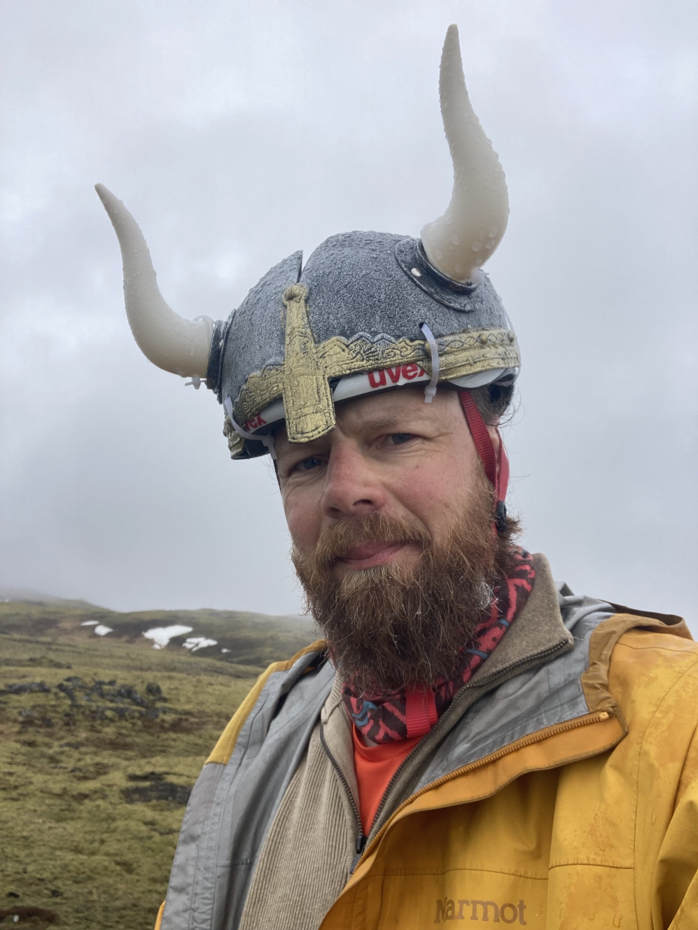
After that it's more rain, more gravel, an asphalt backroad, Route 1 but there's a parallel path, then I'm onto the Reykjavik bikepath system and it's all good. I stop over at a friend's place for dinner - he says this is good weather by Icelandic standards, and I don't think he was joking. Then it's the final 45 minutes into town. I stop at the Sun Monument for the finishing photo; my horned helmet gets some attention and I end up chatting for a while.
So that's the finish for the loop around Iceland! Not the nicest or easiest trip I've done, but the difficult conditions were manageable, and the spectacular scenery makes it all worthwhile. No big problems along the way, for which I'm grateful, and I had the right gear for the continual cold and wet weather.
I'm especially glad to have the winter leggings and overshoes and gloves that I picked up just before leaving. I wore them every day, and they kept me warm on all except the coldest days.
But the best piece of gear for the Ring Cycle? Definitely the horned helmet.