May 3: Day 6, Skútustaðir to Möðrudalur
It's cold. Today's forecast was for 1-2 degrees, before considering wind chill and being high in the mountains. I would like to call it "a cold snap" but it's only a few degrees colder than the last few days, and while I'm working on the bike it doesn't make much difference.
Except for breathing. The air gets painfully cold, but switching the neck warmer to highwayman mode fixed it. The warmer air I’m breathing in is obviously something I breathed out … but it's fine. The cloth also keeps my ears warm, which is useful.
But it does make me look freaky and unapproachable. Not really a problem since the only people I see all day are in cars going past, but I will try to take it off if there's a risk of a normal human interaction.
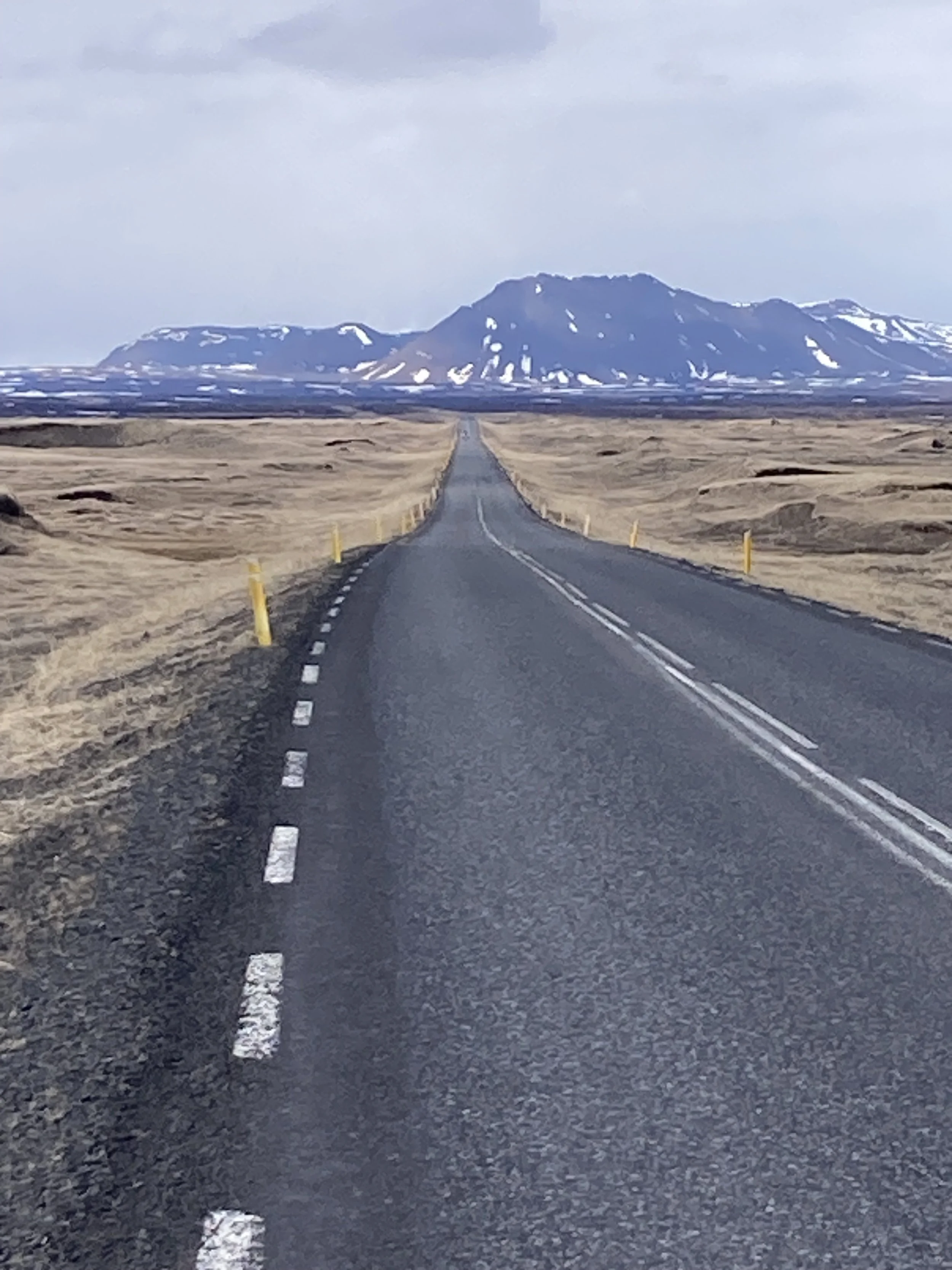
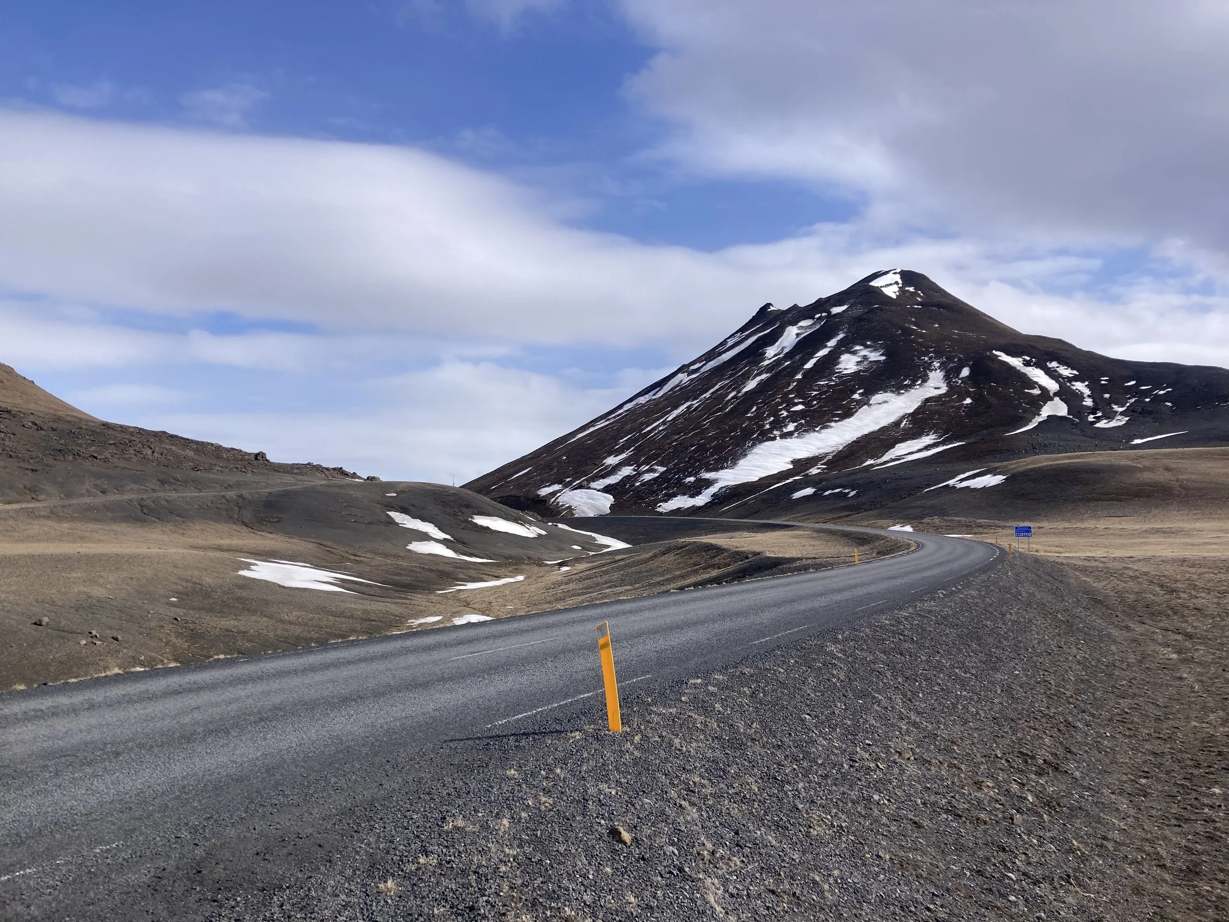
Today's ride is more of the same: bit of bikepath, a lot of Route 1. Plenty of climbing, spectacular views, snow and ice everywhere. And the sun was out most of the day, which I shouldn't take for granted.
Actually, the day started with driving snow, a headwind, fully overcast, and it was so cold I was doing that highwayman thing. Not a pleasant time to be out, but the headwind wasn't too bad - so I could still make good time. And it cleared up in an hour or two.
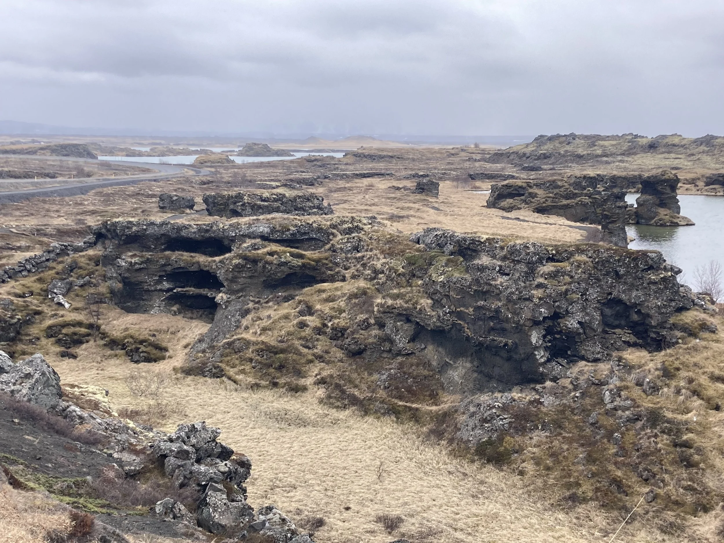
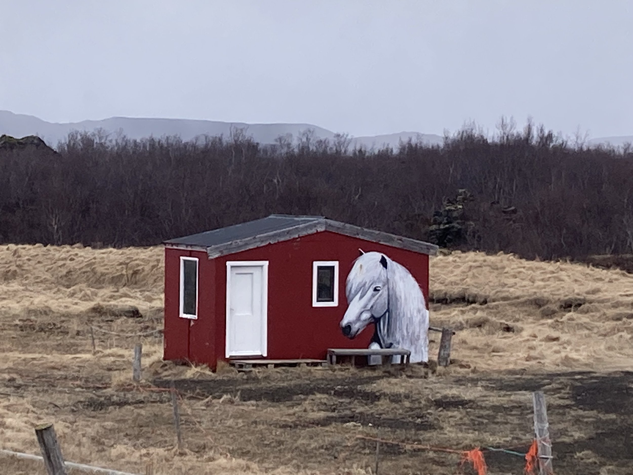
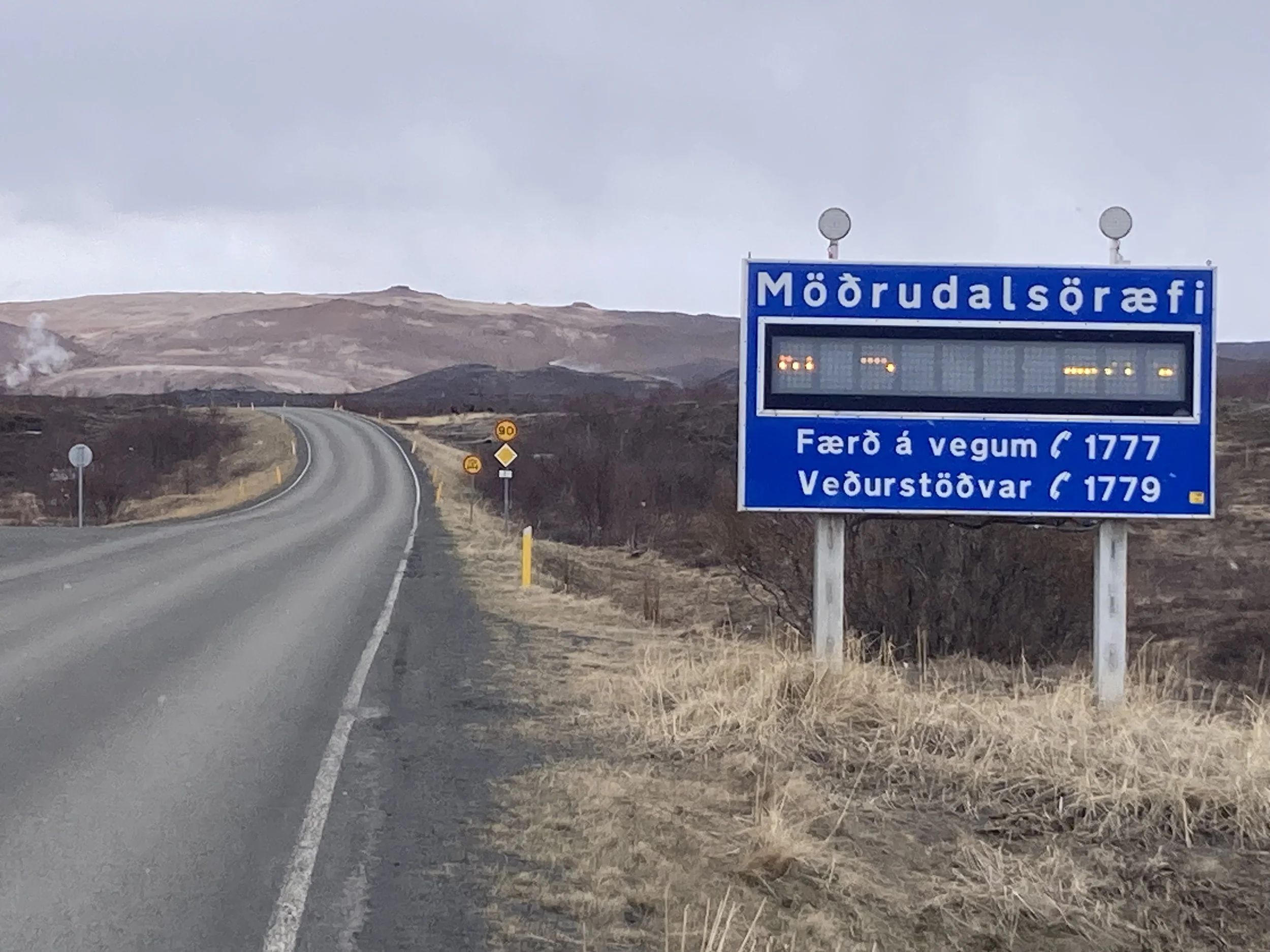
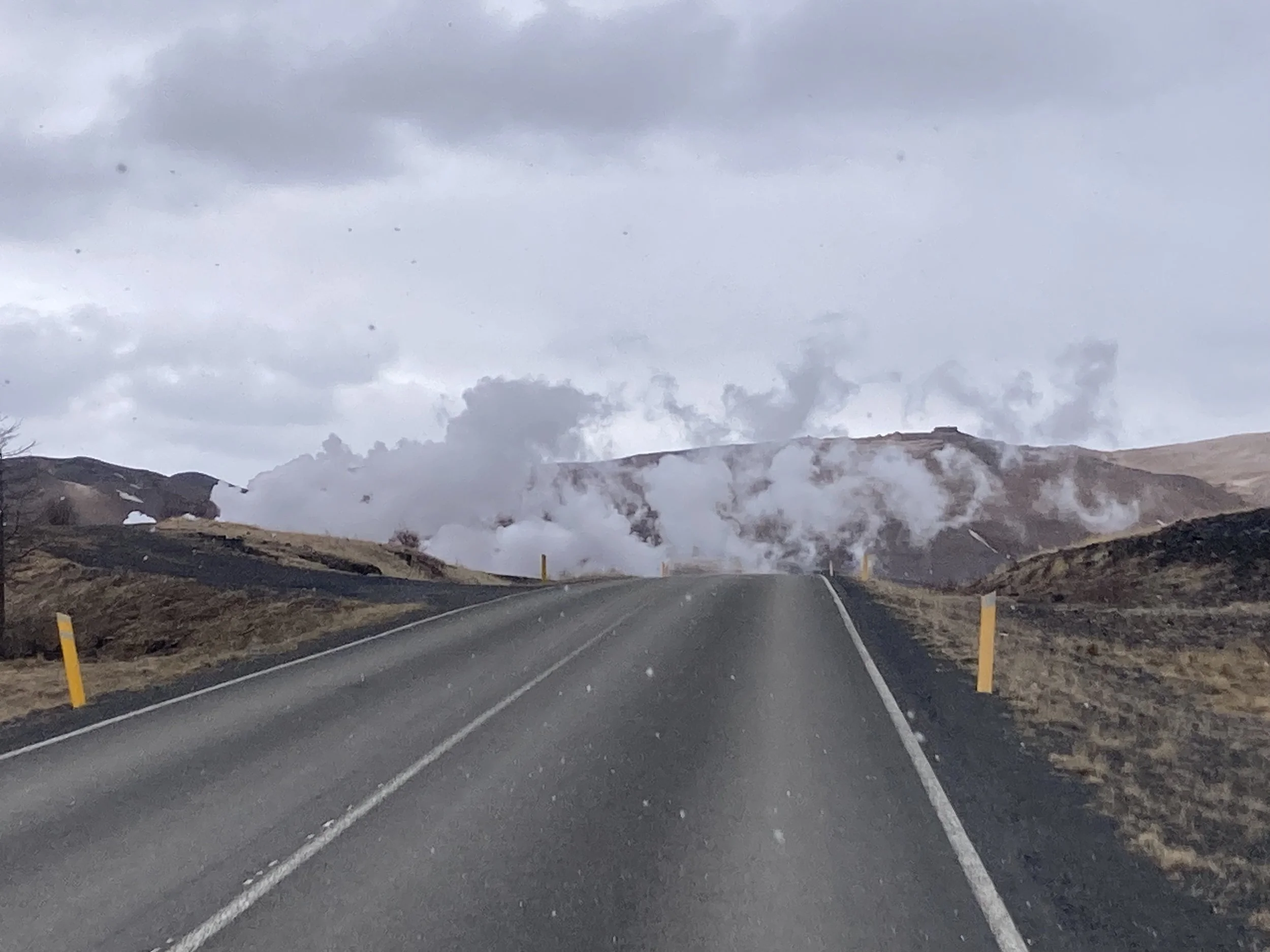
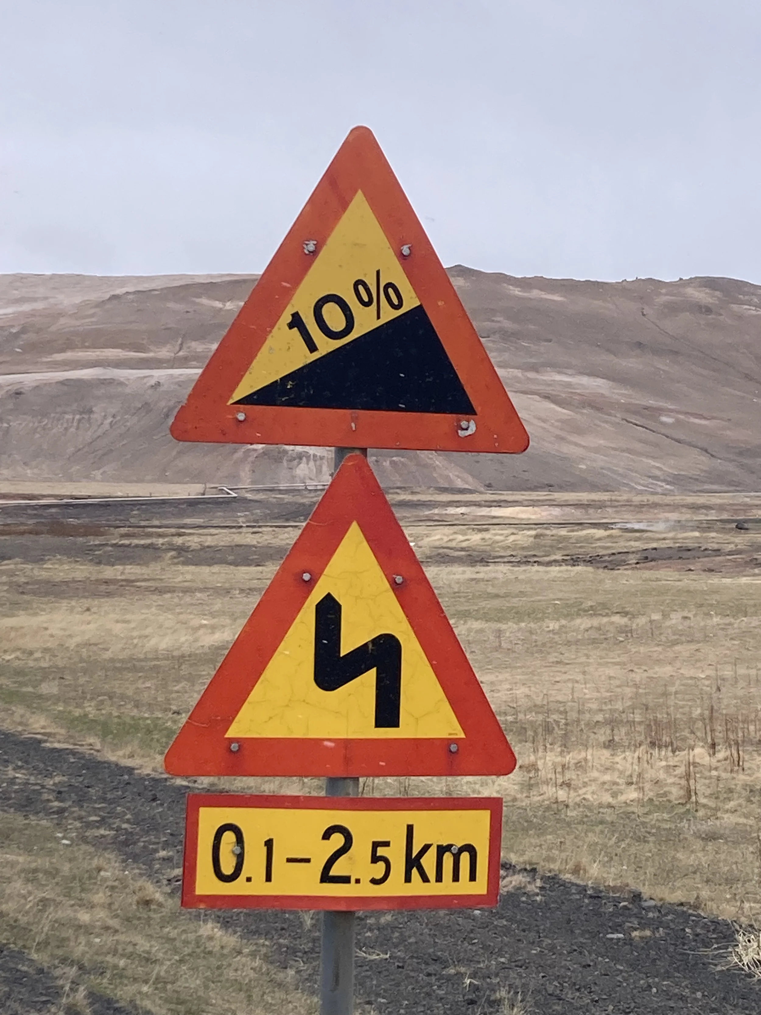
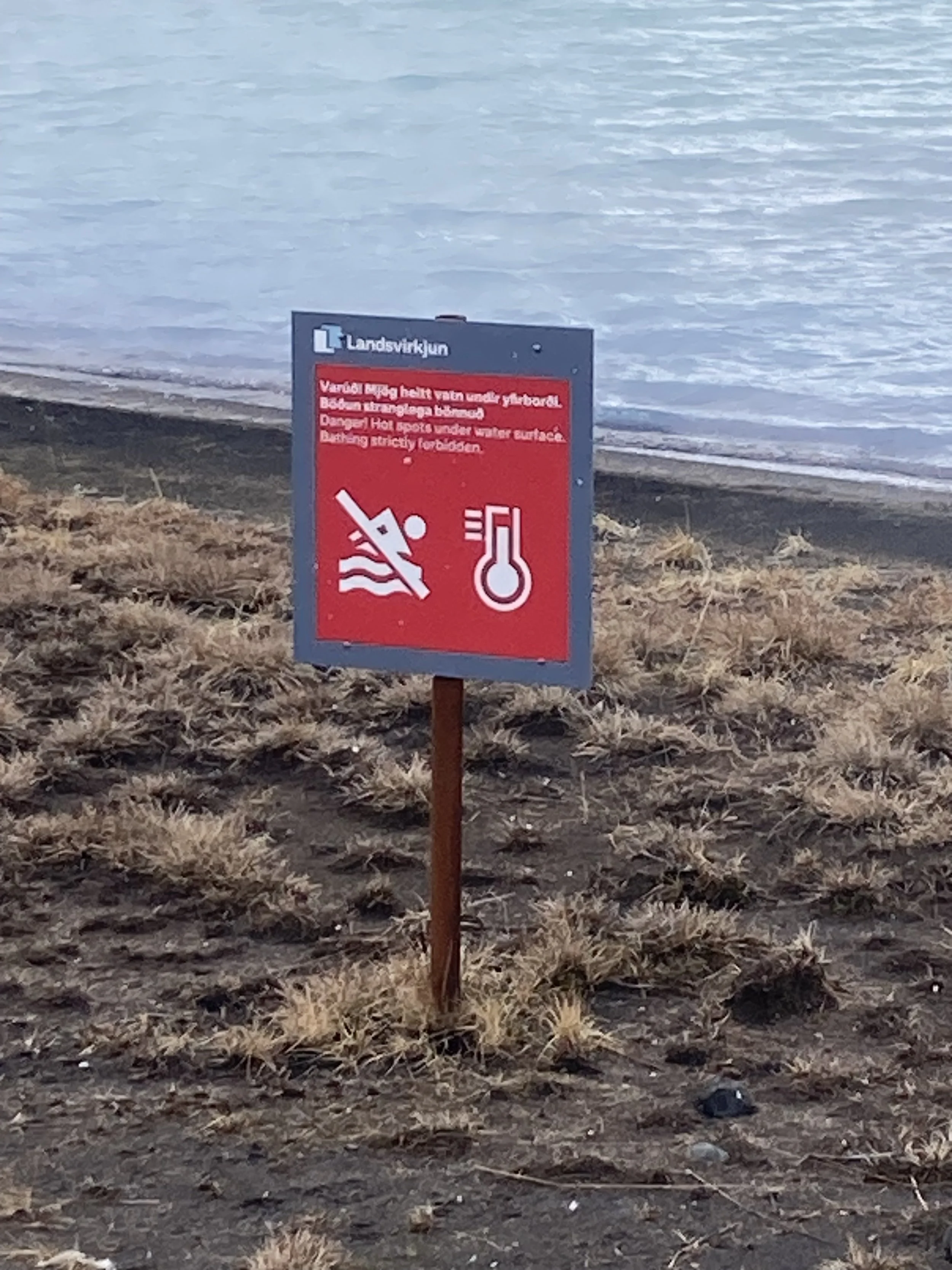
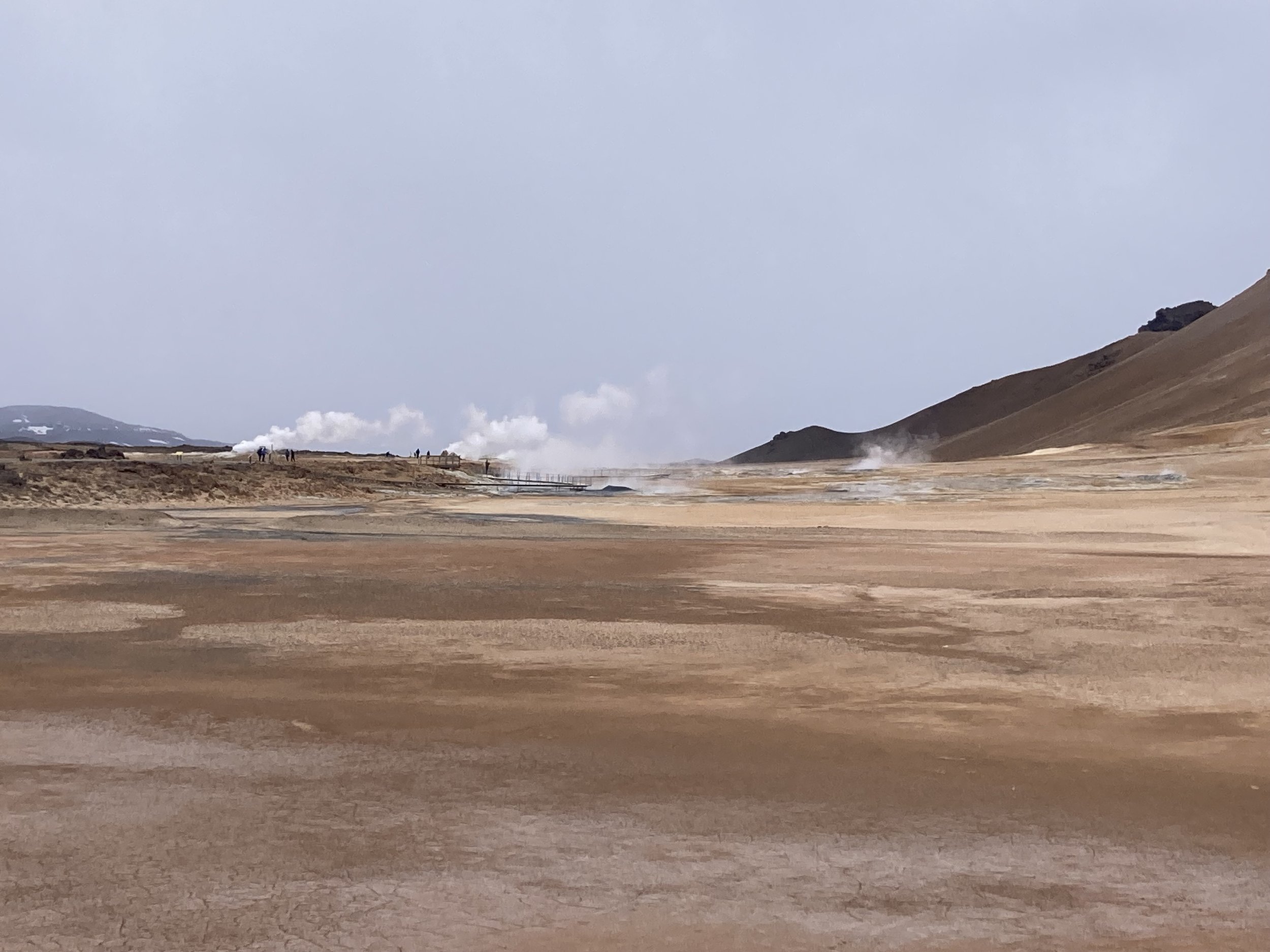
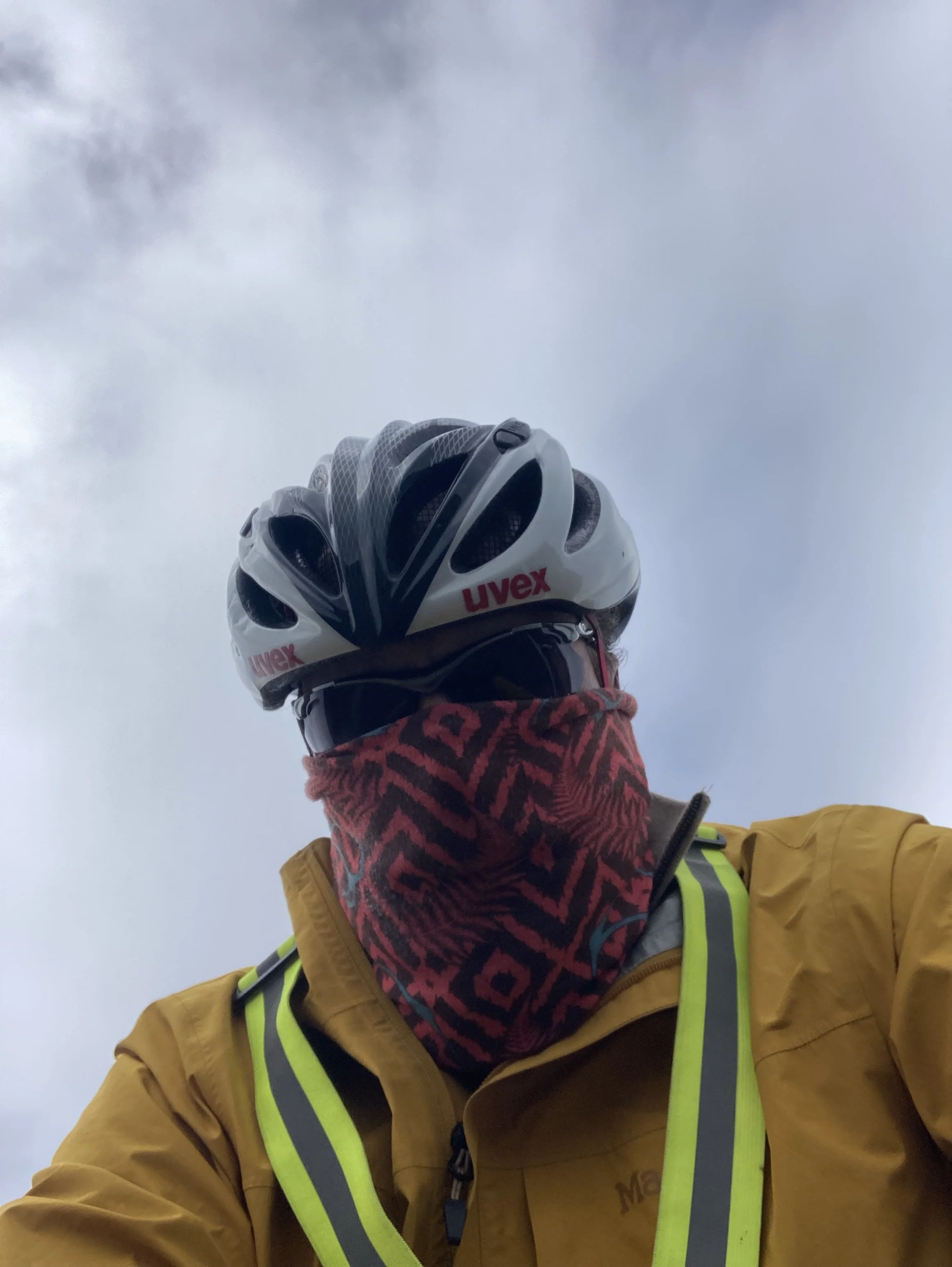
From left to right: trollish rocks near Mývatn lake. Nice house art. This sign said “-4 degrees” but I guess the LEDs are flickering because the camera doesn’t show it. Steam. Unwelcome climbs. Good reasons not to swim here. More geothermal vents. Highwayman mode - this made the cold much more bearable.
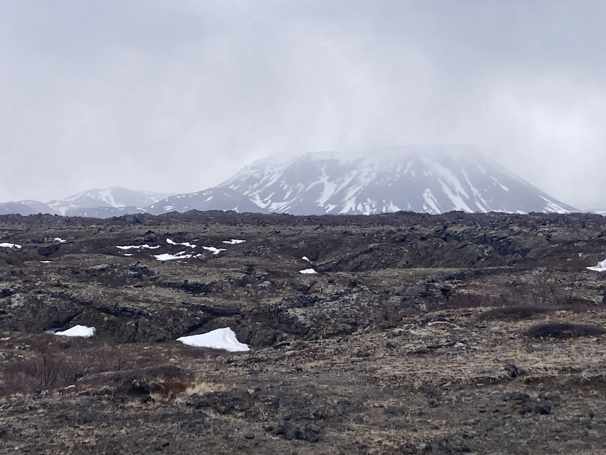
One other thing different about today is the environment. The route went past a few geothermally active areas with plumes of white steam and a strong smell of sulphur. The terrain around them was completely barren, and the ground was a flamboyant red and brown, streaking out along water flow lines.
Things changed dramatically after the pass, to volcanic rock and some grass trying to stay alive. A powerline marches through here and every pylon was braced on either side, against the winds that must come through here. Nothing too bad today, happily.
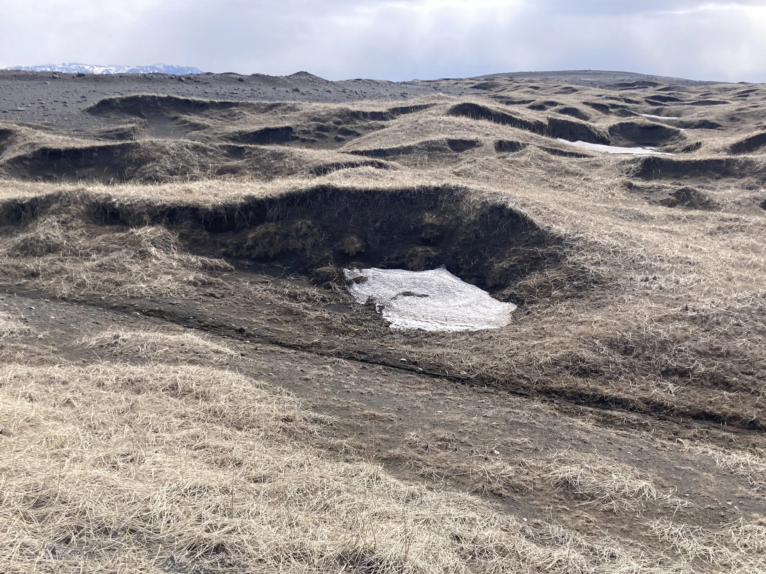
While cruising along I noticed a straight, flat, wide overgrown path running beside the road. Looking just like an old railway line! That's unlikely, but it still got my eye, and I noticed it continued on the other side of the road with regular cairns, leading to ... I couldn't tell. There was a backing of snow, maybe it's a pool or something? The regular stone pillars made it look very intentional.
So I rolled off the road and followed it to see. Something ancient, something forgotten? Something ... ritualistic? Should I be here?
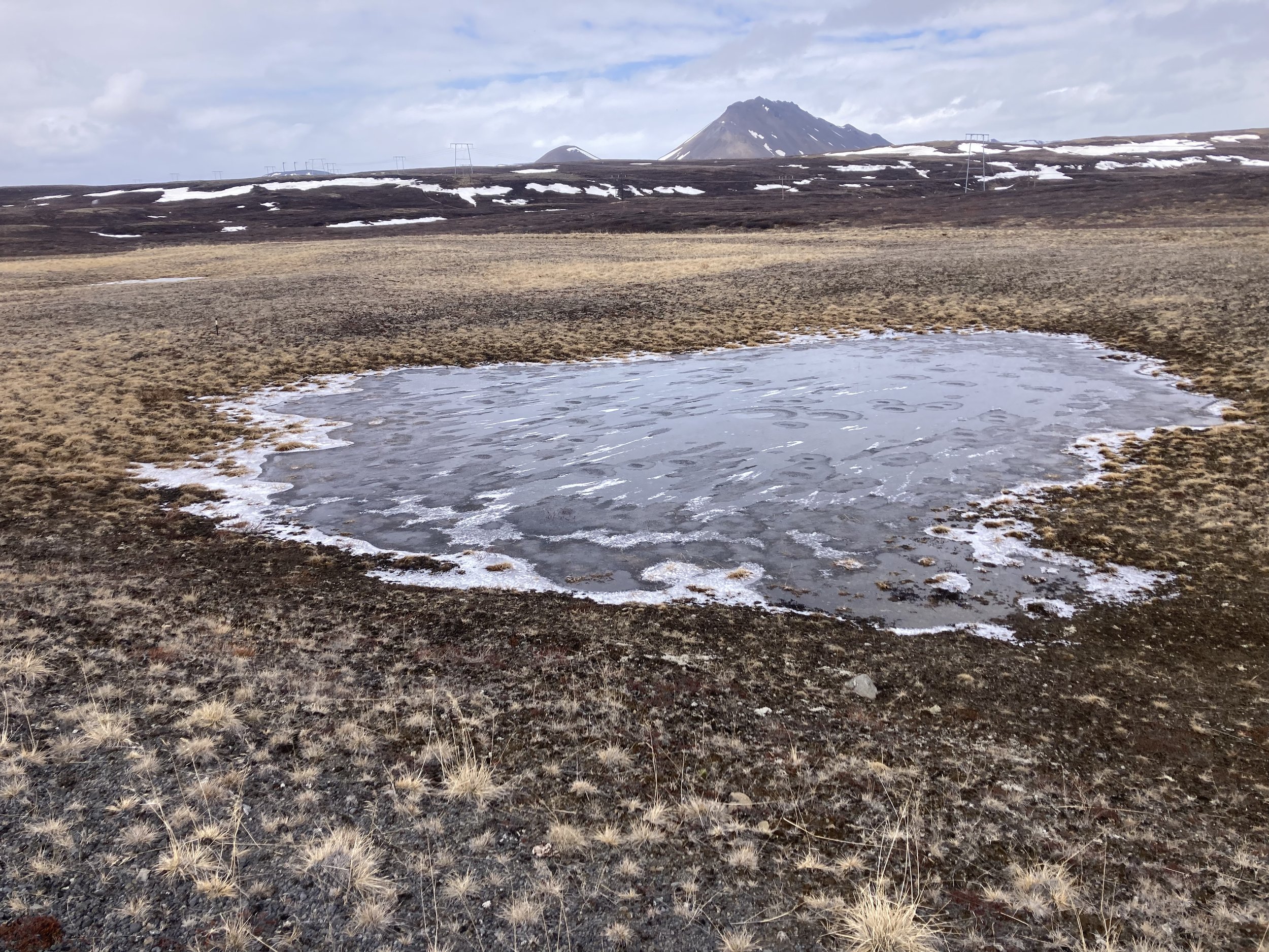
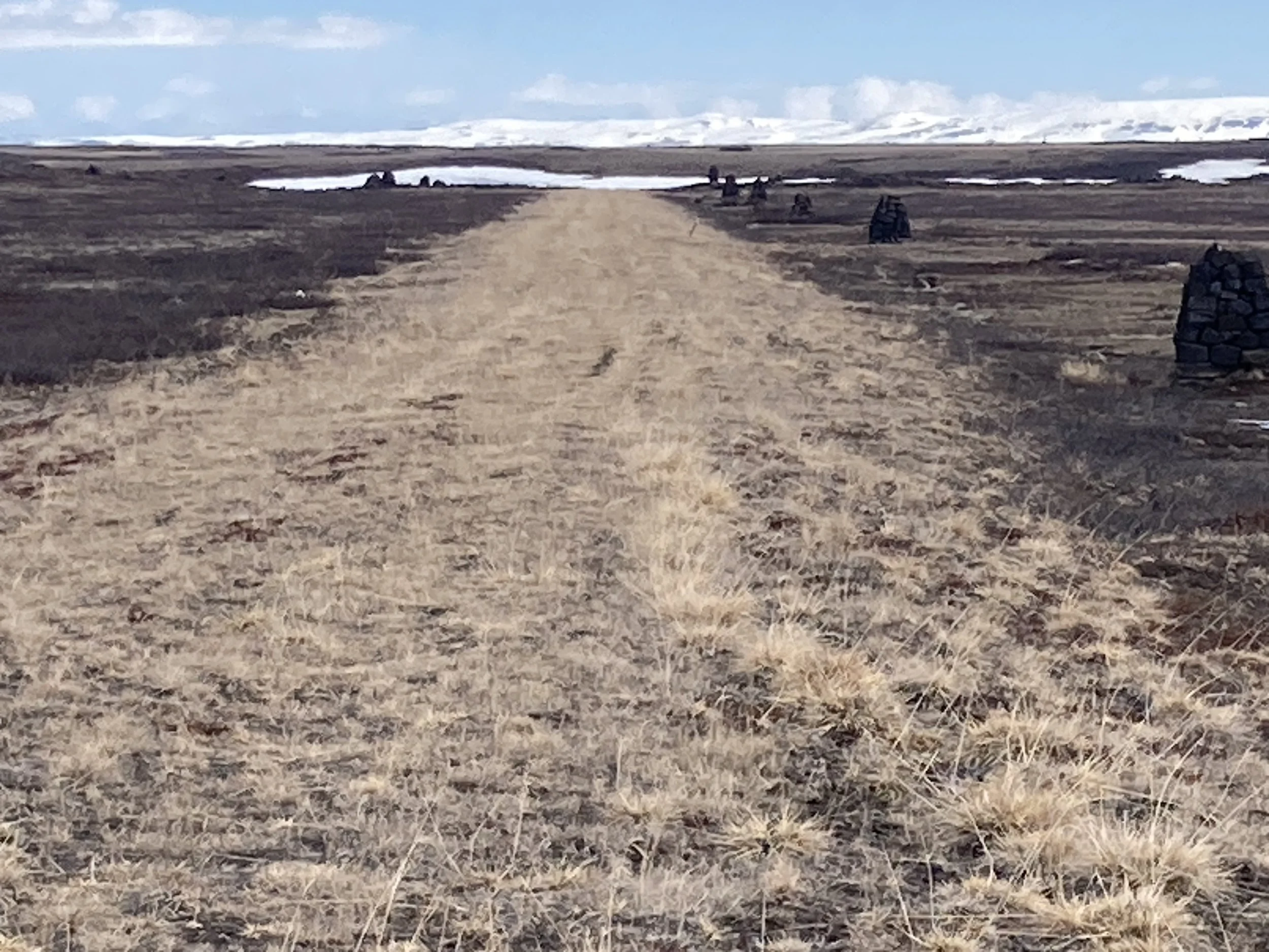
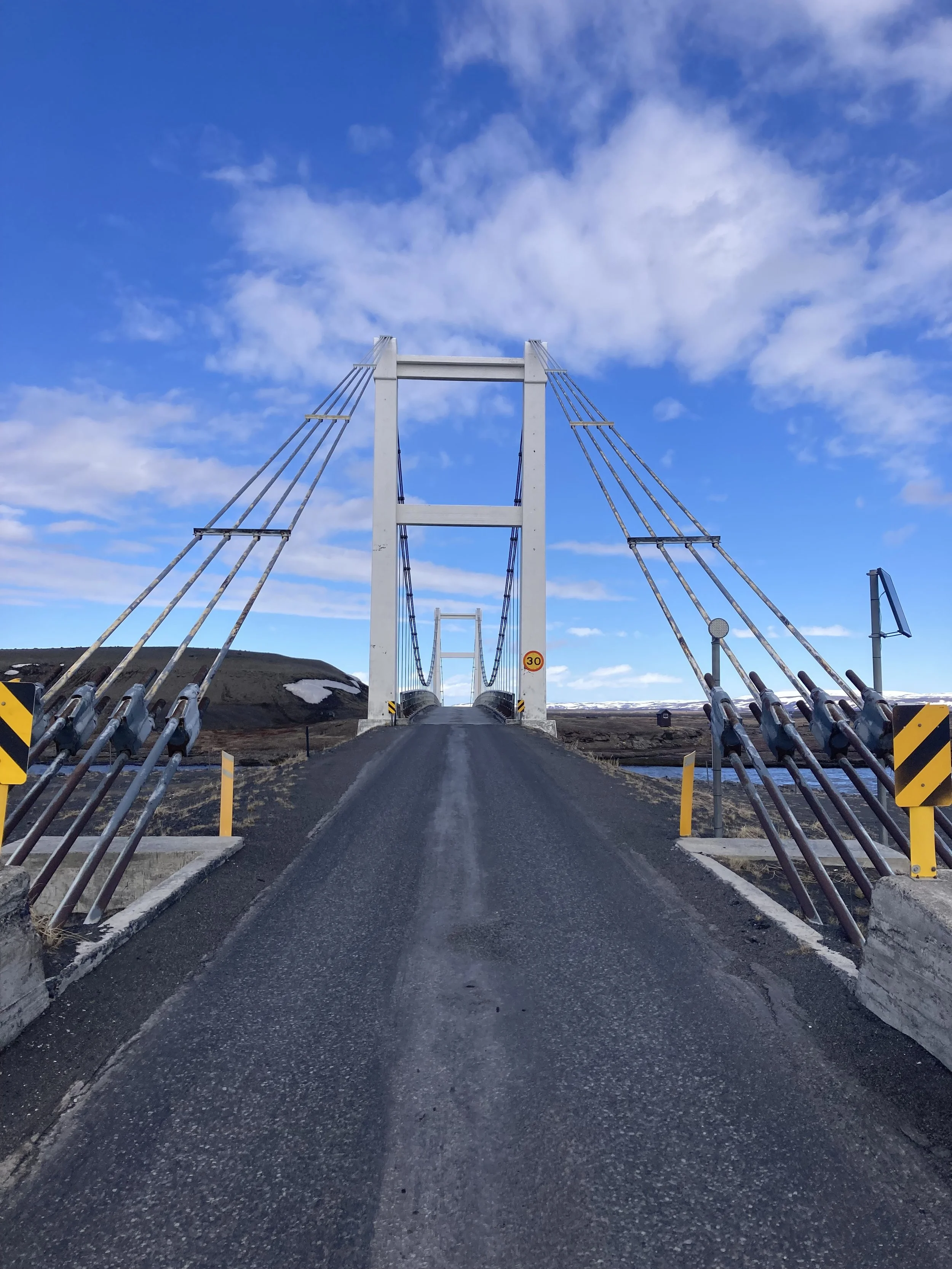
From left to right: more inhospitable terrain (volcanic rock edition). Frozen pond. The path that enticed me. Cairns visible from the road afterwards. The view back. These look like a variant of the pseudo craters from yesterday, but smaller and all oriented one way. Hrossaborg crater from a safe distance. The only bridge today, I liked it.
It was a portentous approach. But without the payoff it deserved. When I got close the overgrown path stopped being so significantly straight: it went down a dip, turned right, up the other side, and past another cairn. I guess I was following an older road, and the cairns are markers to help travelers find their way in the fog or snow, instead of some more exciting or theatrical reason. But it did look intentional from my direction.
At the bottom of the dip I realized this was probably the most shelter I was going to find all day so I should stop here for lunch. Fine ambience, bit of shelter from the wind, calories, and space to reconsider one's unrealistic expectations: five stars.
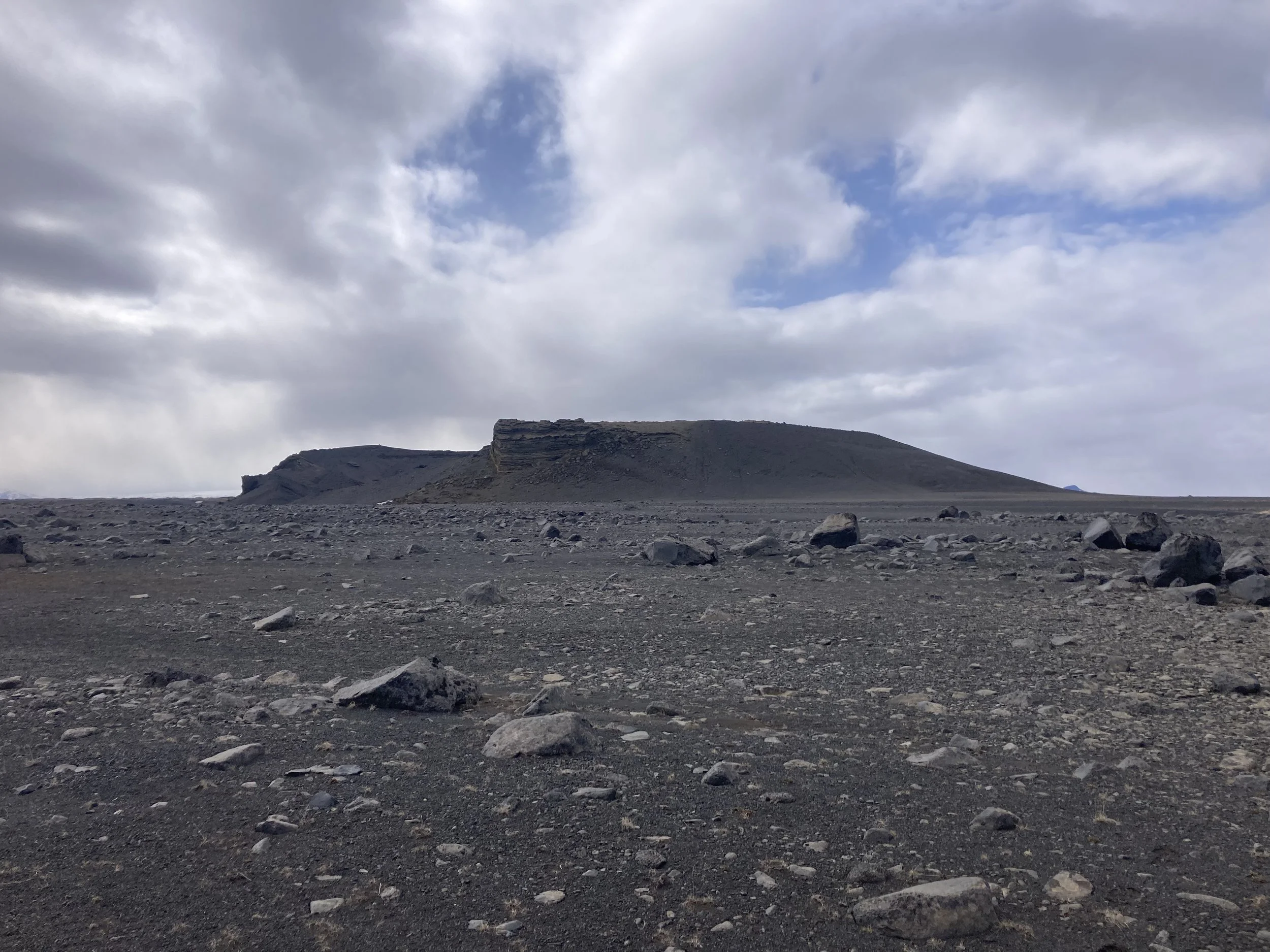
Next stop today is Hrossaborg, meaning "horse castle". It's a volcanic crater, and appeared in the movie Oblivion as the destroyed football stadium. Unfortunately the road was chained off, with dire warnings that vehicles were strictly not permitted. And heartfelt reasons why you should not go offroad, plus information on the laws you would be breaking and the fines you'd get.
Were hikers allowed? Were bikes? Did the road actually go there? It wasn't clear so I decided not to try it, took some photos and got back on the ring road. I'm still not sure if this was the right choice.
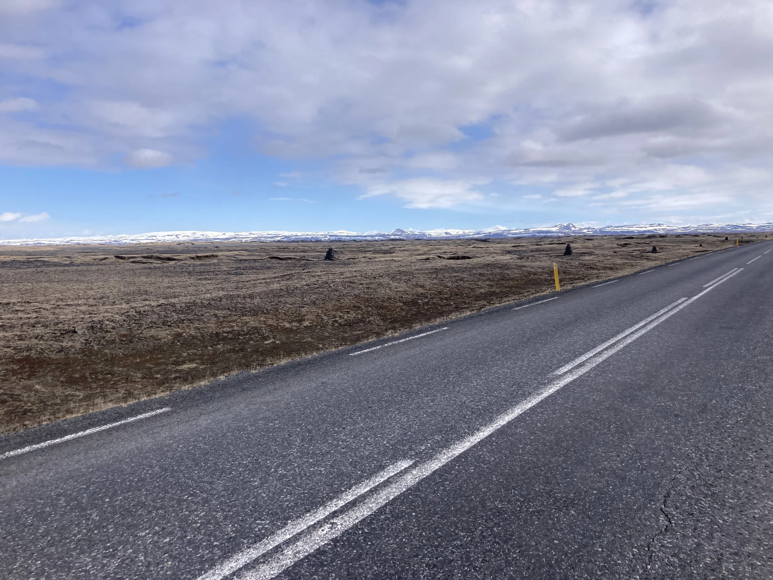
The Ring Road was more of the same; spectacular views with snow and ice everywhere around. Mostly bare earth. Traffic was surprisingly heavy; my metric is how many times cars have to slow down because incoming traffic means they can't use the other lane. Today it happened several times. There were absolutely no trucks though.
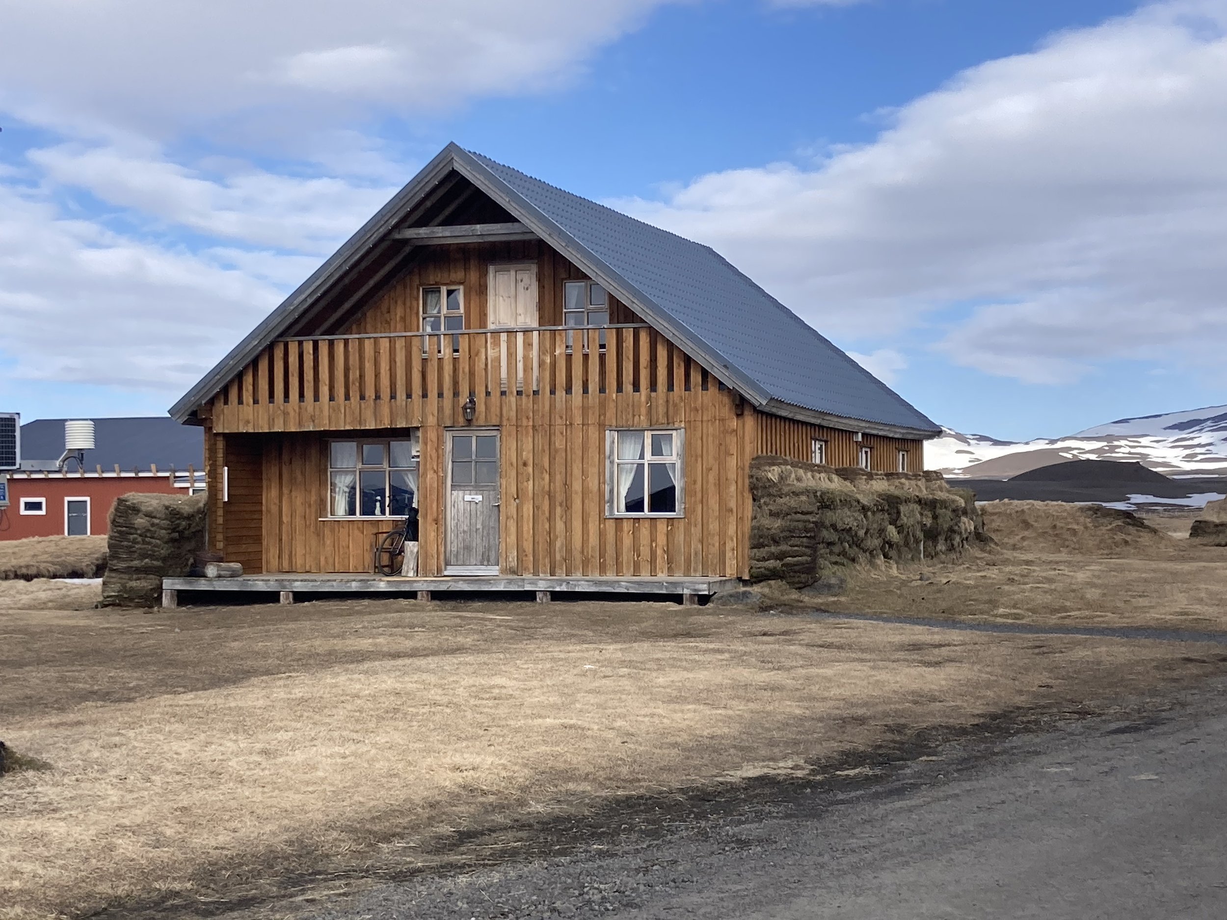
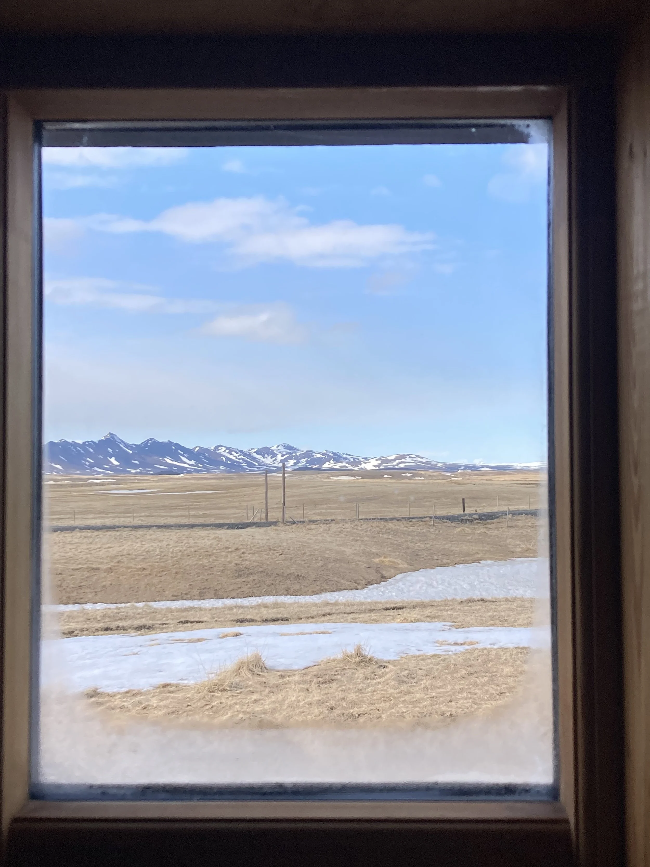
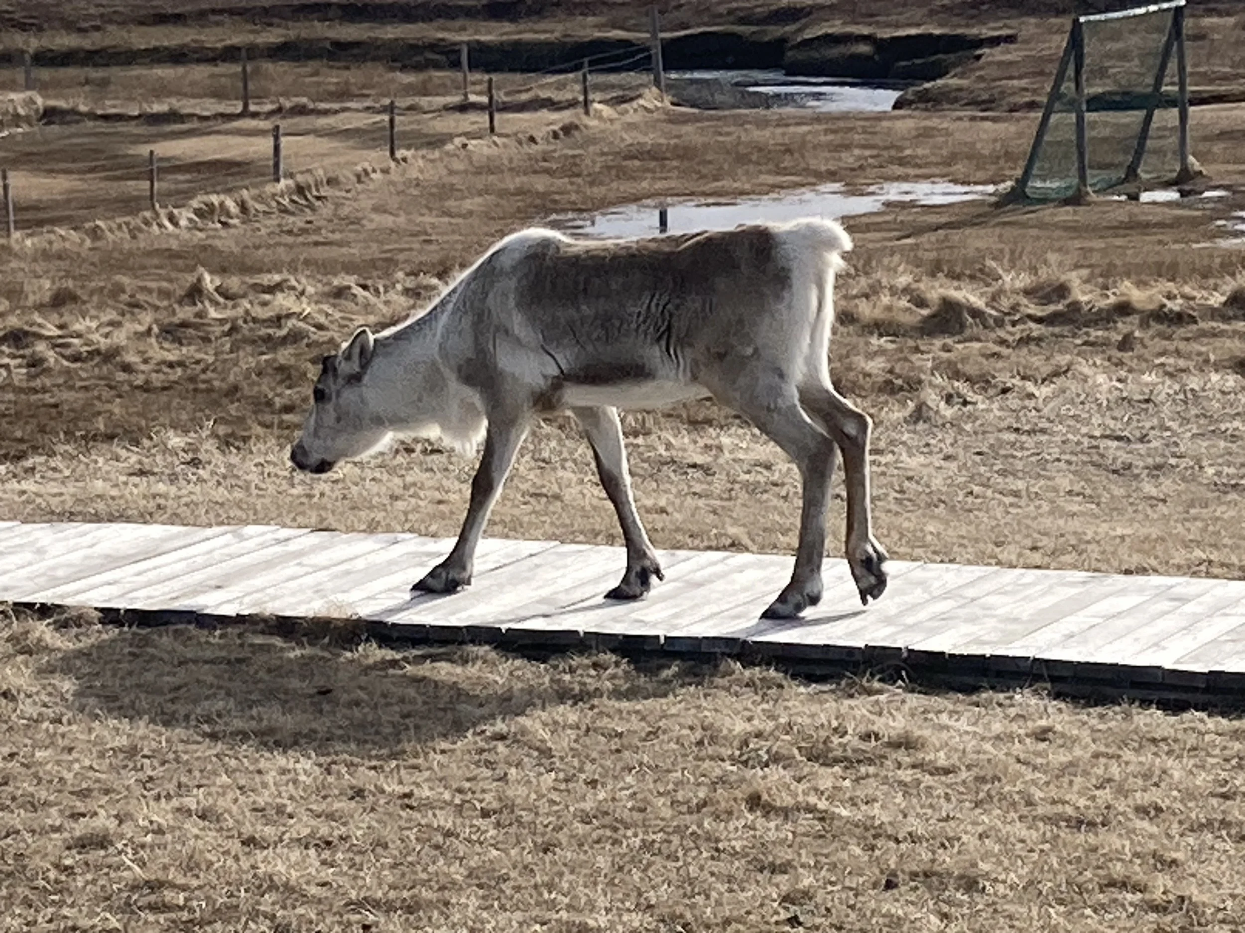
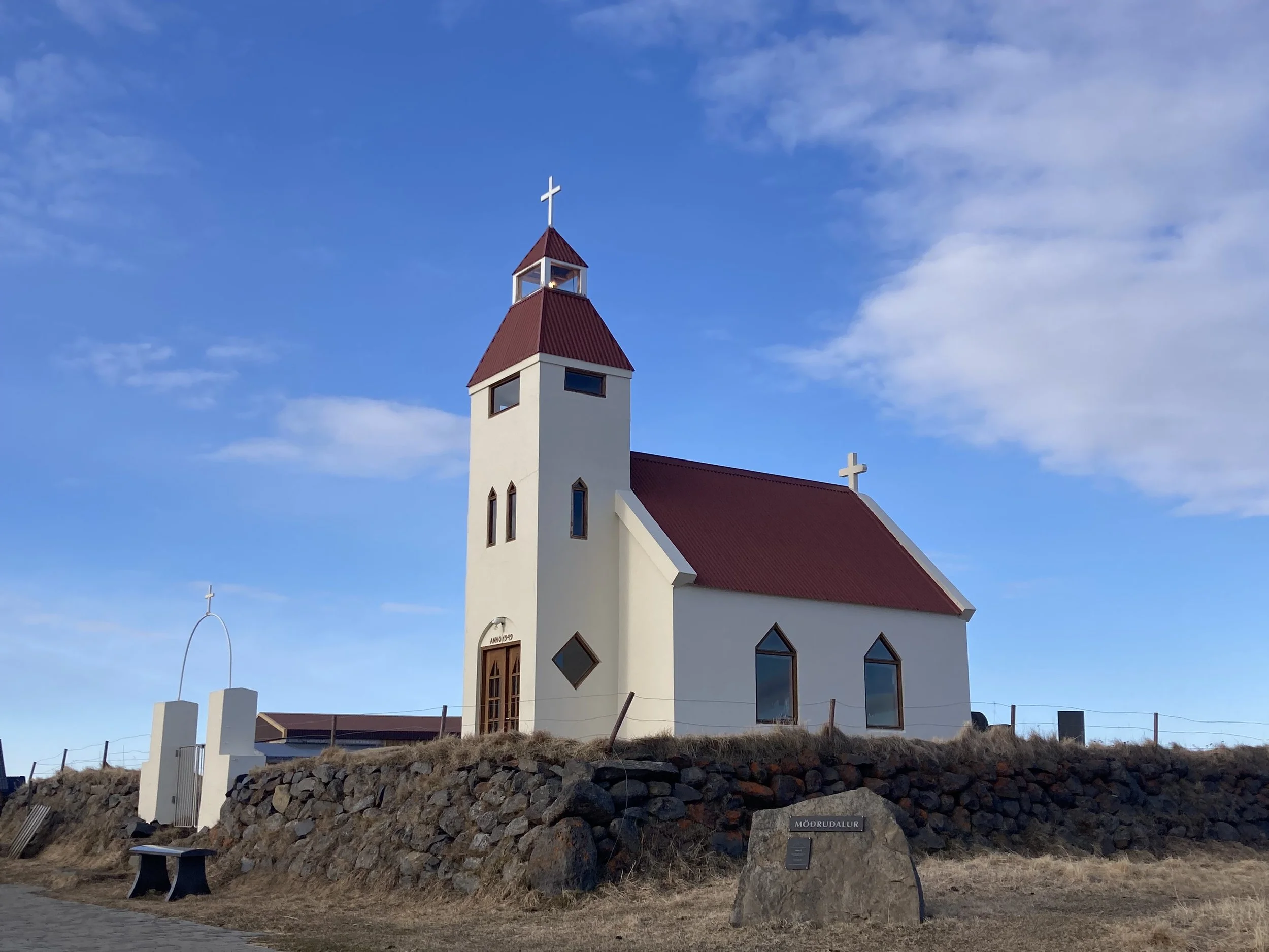
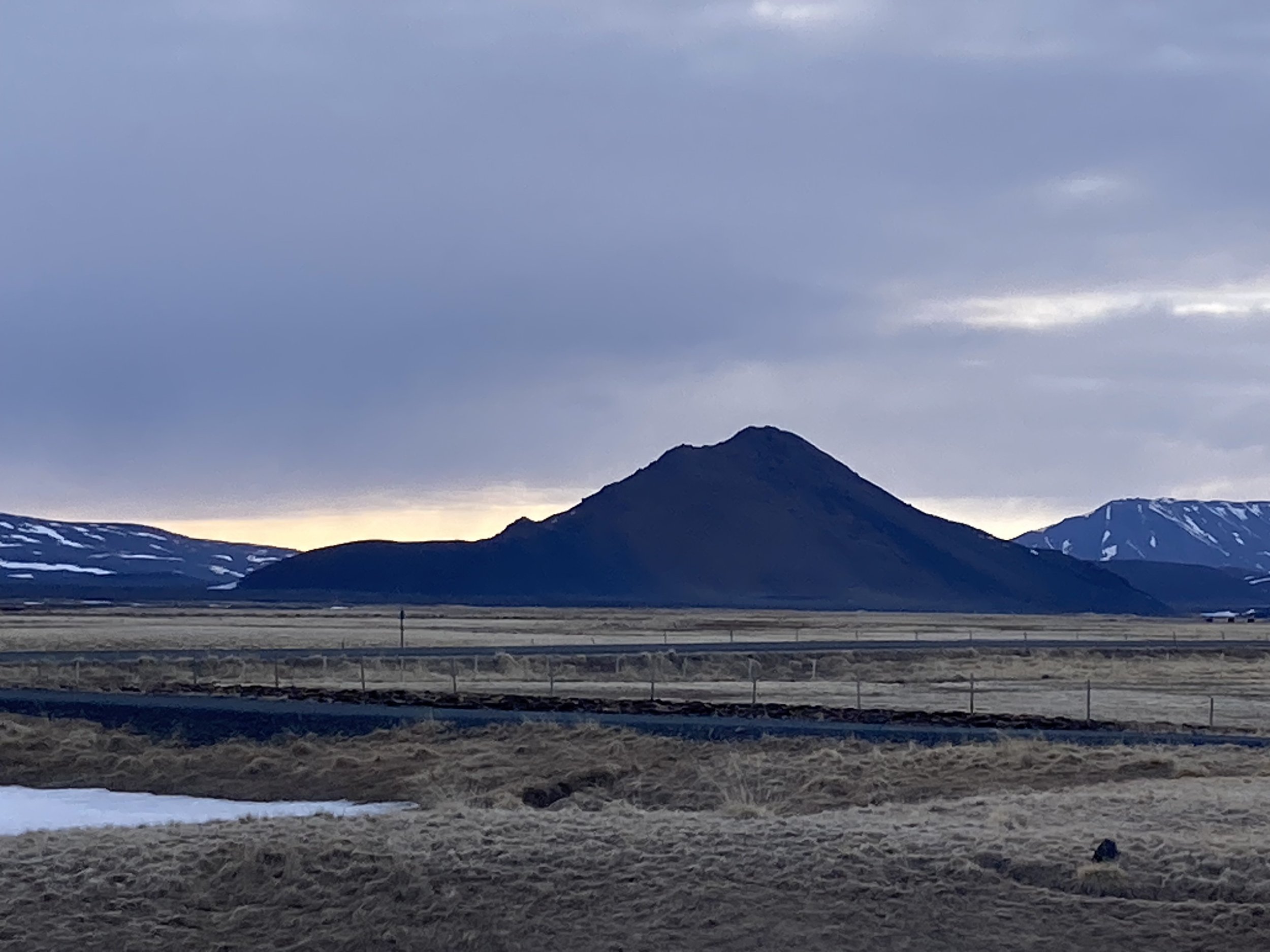
From left to right: more Iceland. The hard earth road at the end. Grassy earth insulation is common here. Where I’m staying tonight. The view from my window. Tova the reindeer. There’s a small church here too. Sunset.
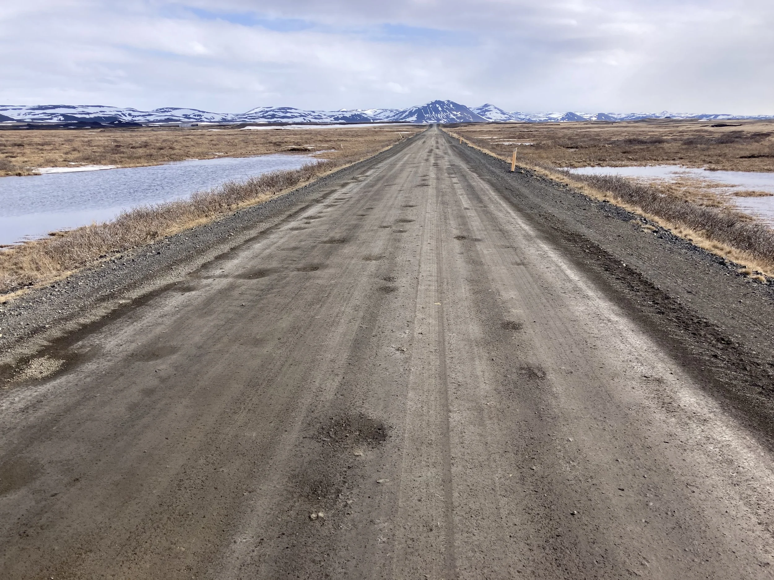
The final section to the farm (former farm?) where I'm staying is a hard-packed earth road, a good firm surface but there's so many potholes I need to slow down. I'm greeted by a reindeer, who I give a carefully wide berth to. Later I learn that it is Tova the reindeer, who lives here and is either domesticated or just friendly; but since they’re the size of a small horse I’m going to keep giving it space.
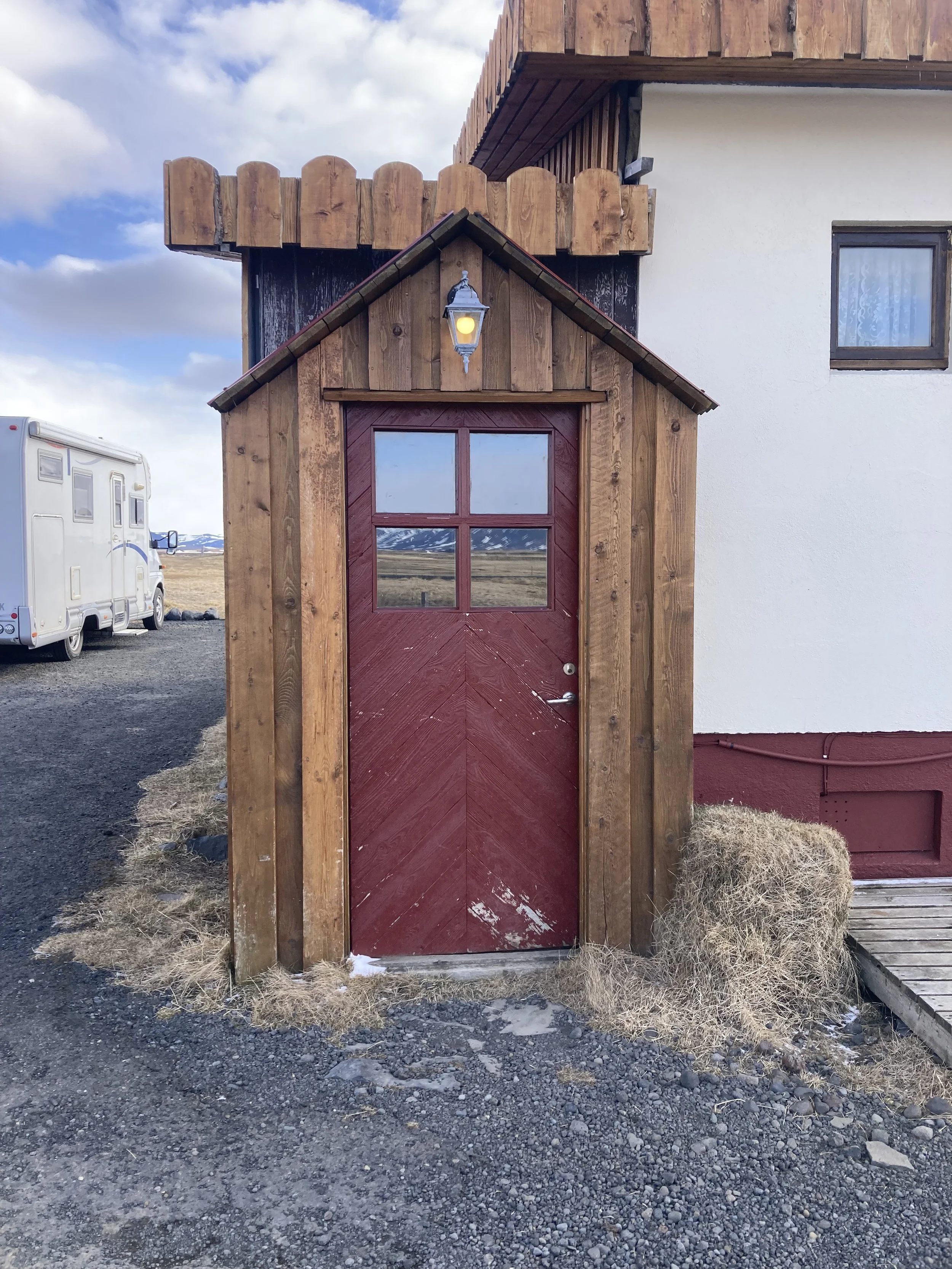
The place is a combination campground/hostel/hotel (their word!) and a minibus with frosty but affluent-looking tourists shows up just as I'm heading off to my room. The hotel was out of my price range; 2.5x what I was paying for a hotel room in Reykjavik. I'm staying in the hostel with shared facilities, for only 1.4x. The price is still luxury-level by European standards…
While out and about I see that the road I'm planning to take tomorrow has a sign saying it's impassable. Does that include bicycles? I’ll find out.