May 5: Day 8, Egilsstaðir to Djúpivogur
Last high pass today; after this I'll be down on the coast and hopefully it'll be warm. Relatively warm.
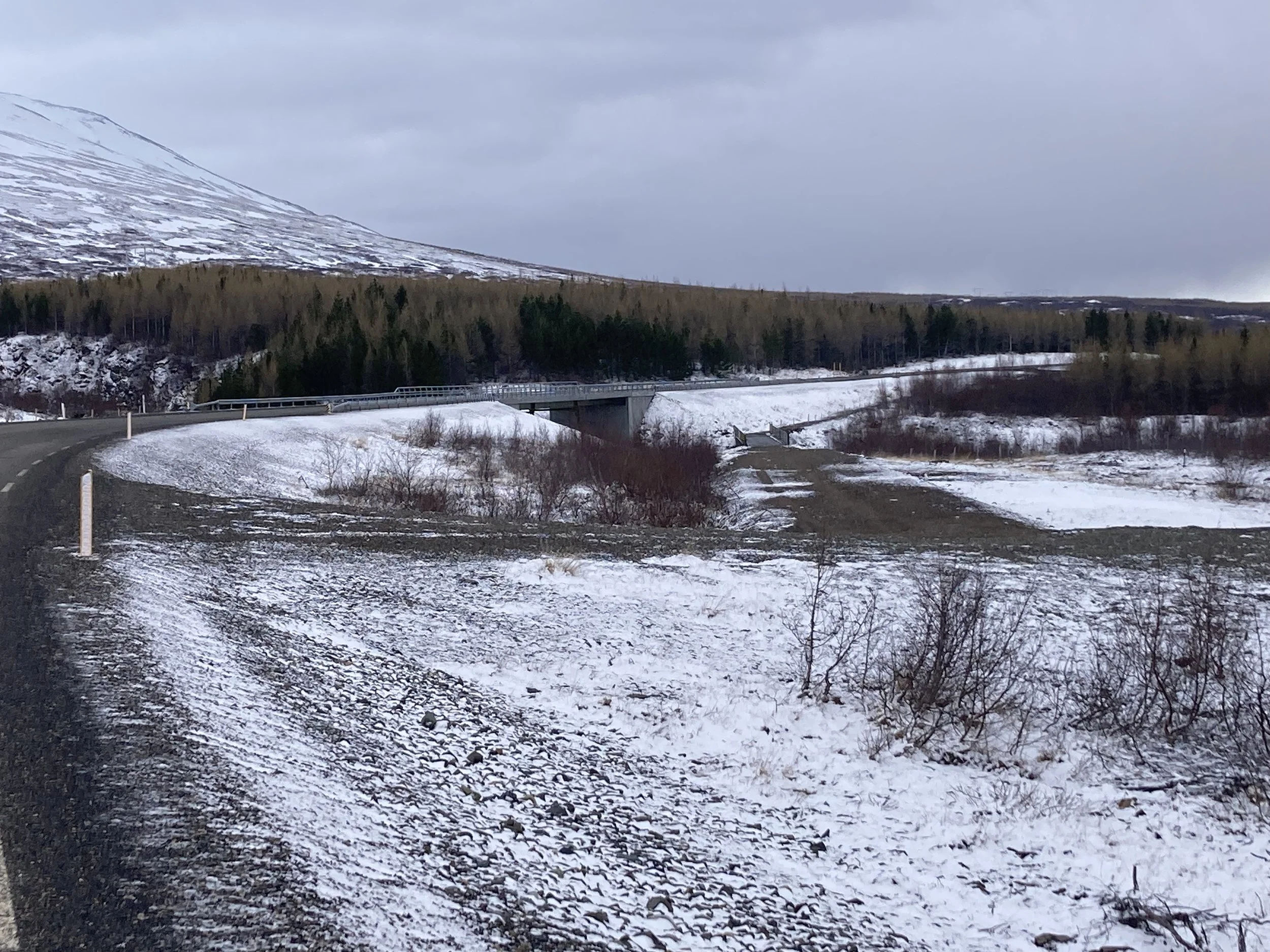
The pass is a brief peek at 550m, then back down to sea level. However, it's not Route 1: it's a shortcut, on a gravel road, called Axarvegur: "The Way Of The Axe". (Google Translate also suggests "axe road" but that's clearly an inferior translation.) The ring road is attentively kept snow-free, but the F-roads into the interior are ignored and are all closed and impassable. I don't know whether this one is significant enough to be kept clear. The alternative route is about six times the distance and adds 3h to the ride, so I really hope the pass is passable.
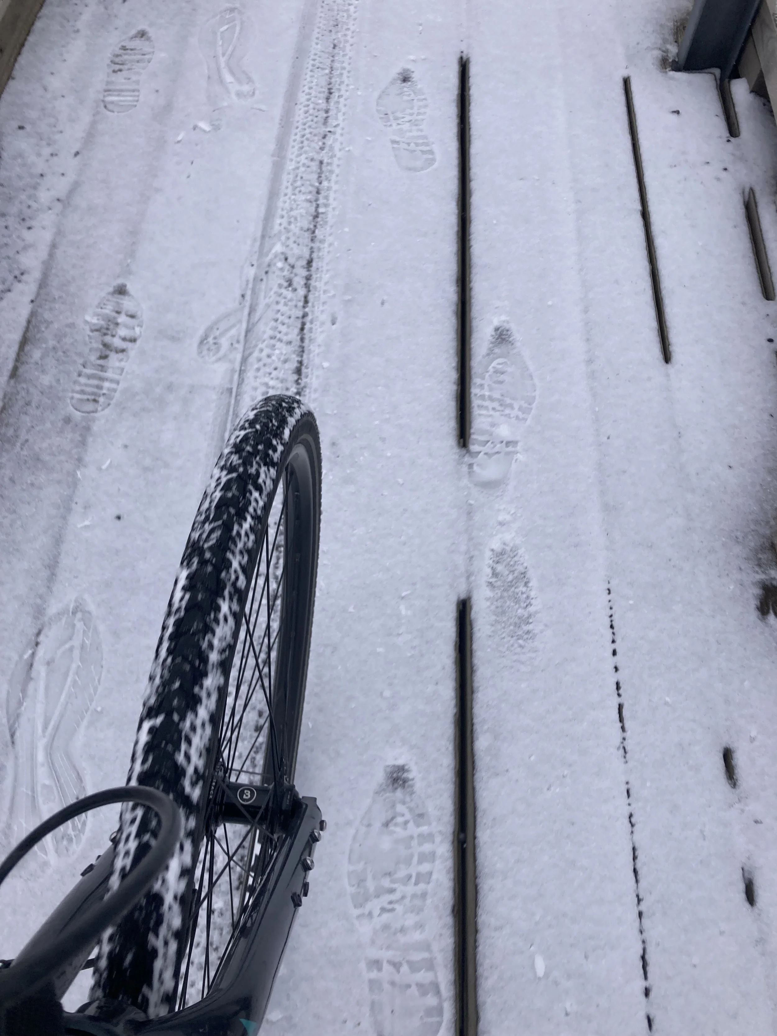
The day starts with light snow, but that's now normal. As is wearing the warm overshoes, winter leggings, warm layer plus raincoat, and stashing the balaclava and warm gloves in the backpack so I can get them quickly if needed.
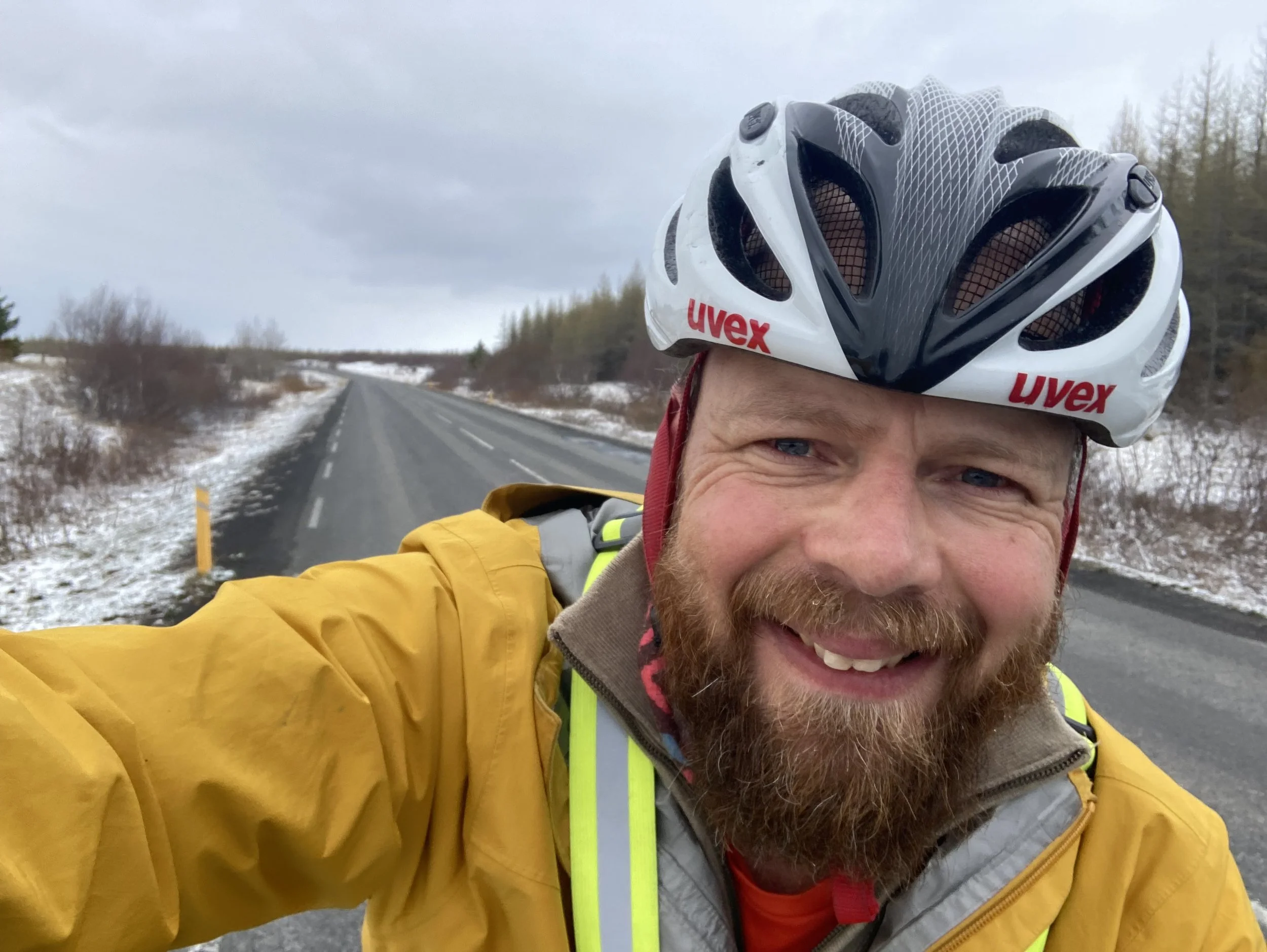
Egilsstaðir is basically at sea level but there's still a thick layer of long-term snow on everything. The sleet stops and it's quite a nice ride, it's not too cold and my hands are warm, no headwind, there's little traffic, just rolling through a fully snow environment trying to capture the experience because this is probably the last time I'll have this all year.
Hallormsstaðaskógur is 7km off to the right, it's the biggest old-growth forest in Iceland, and it’s well out of view. I'm surrounded by trees, but they're not a forest ... they're all a bit thin and threadbare, a receding hairline in comparison with the lush, untamed foliage of Hallormsstaðaskógur.
All the trees I've seen look sick like this. Hallormsstaðaskógur looked thriving in the photos I’ve seen, I wish I had been able to see it.
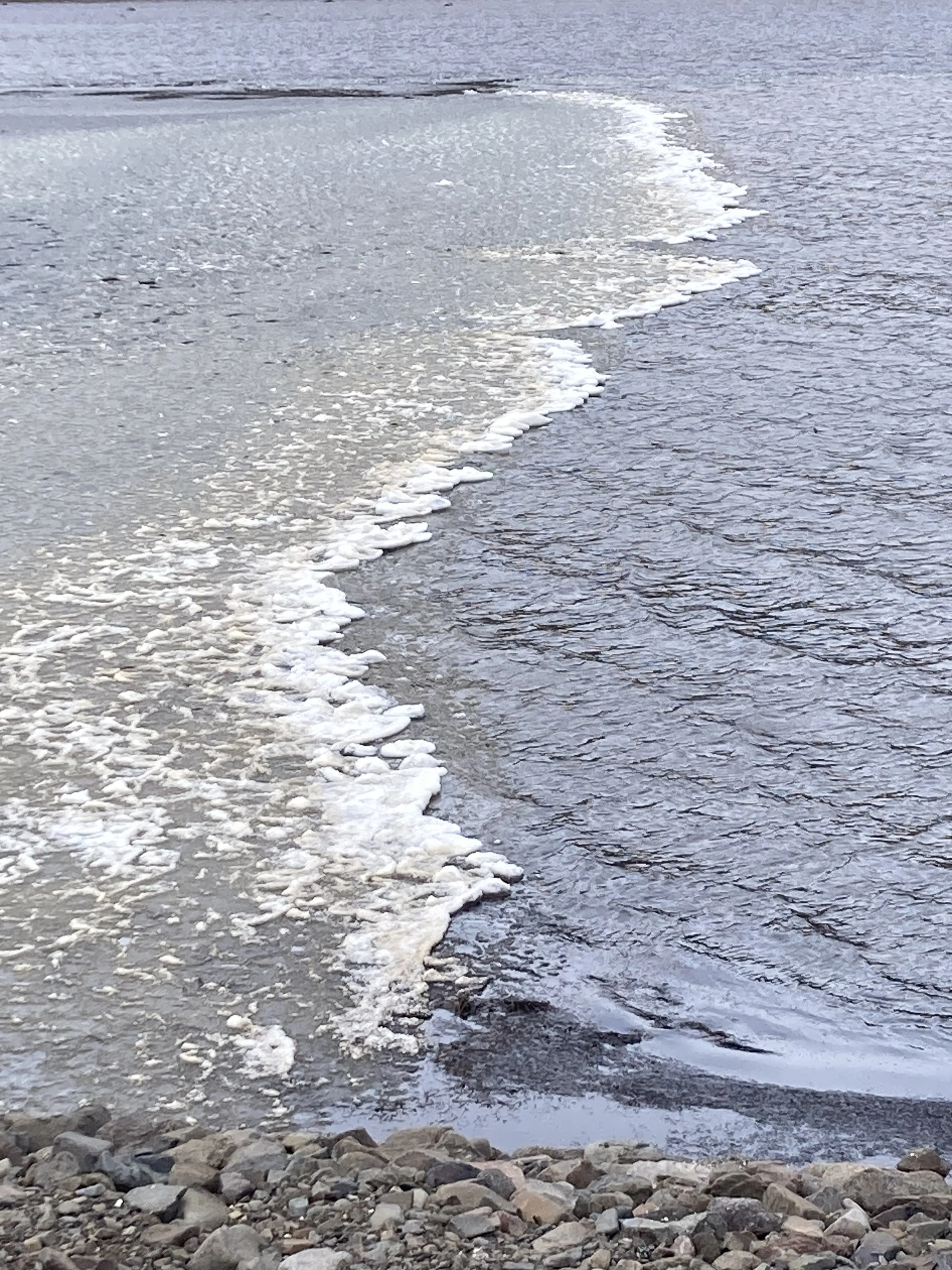
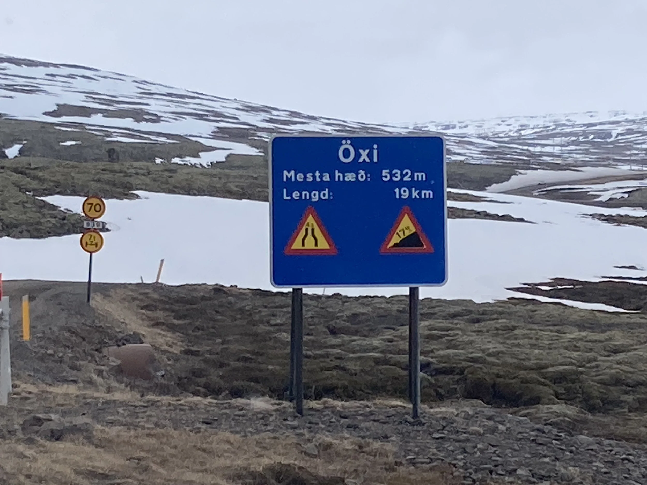

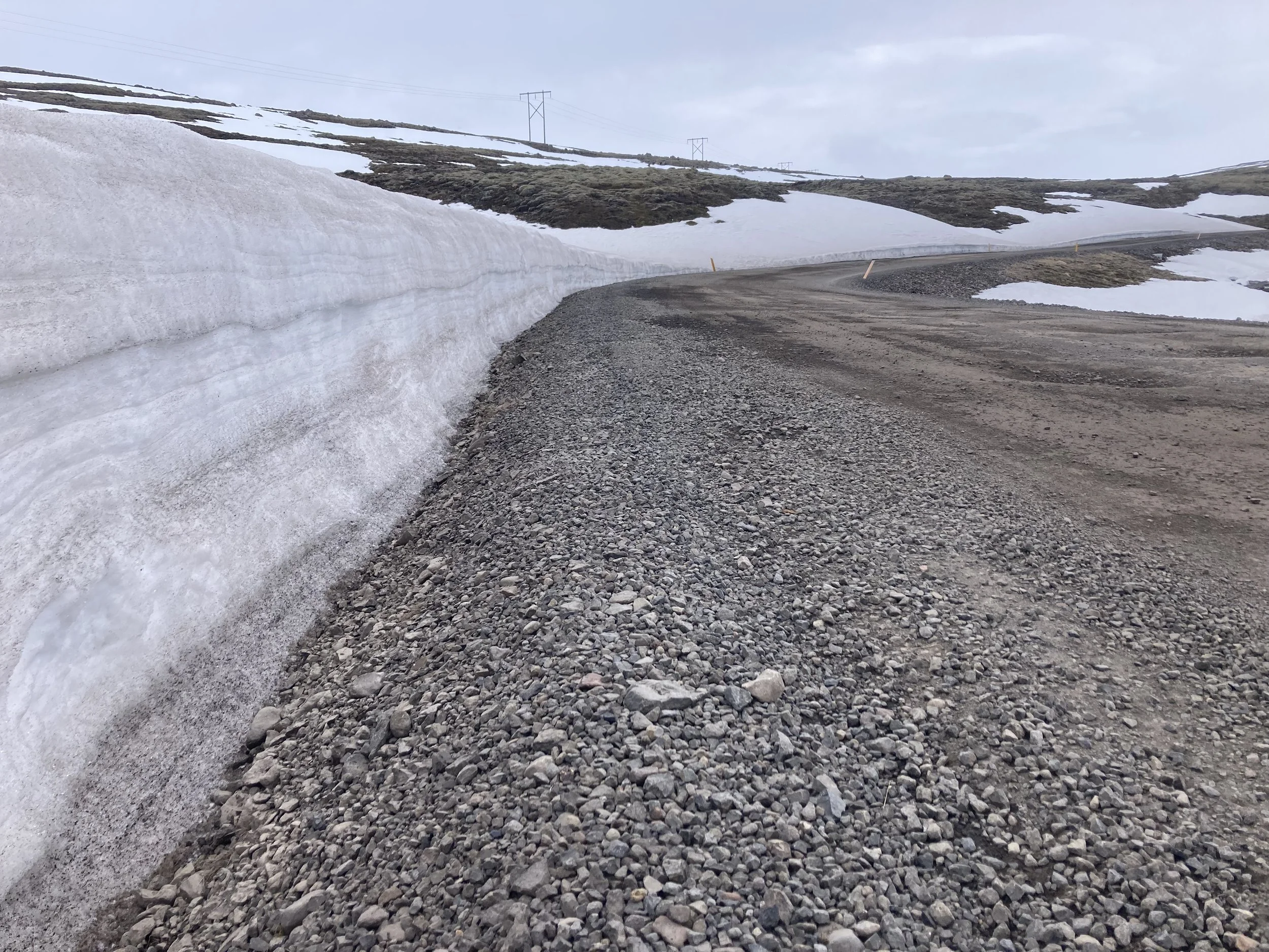
From left to right: bit of snow on the ground at the start. Not too cold though. This was a bridge bikepath - unfortunately it was closed. Trees, doing their best. Still a lot of ice on the lakes. Warnings on the gravel road. Equipment to keep the pass clear. This is the snow on the edges, a lot must have been taken off the road.
I'm trying to judge if the pass is open from the traffic. I see a few cars coming the other way: were they coming from farms, or over the pass? They're all SUVs, presumably 4x4s, so they could be either. A tow truck comes past in the same direction I'm going. A bit later it comes back with a dented SUV on the back. That doesn't really help.
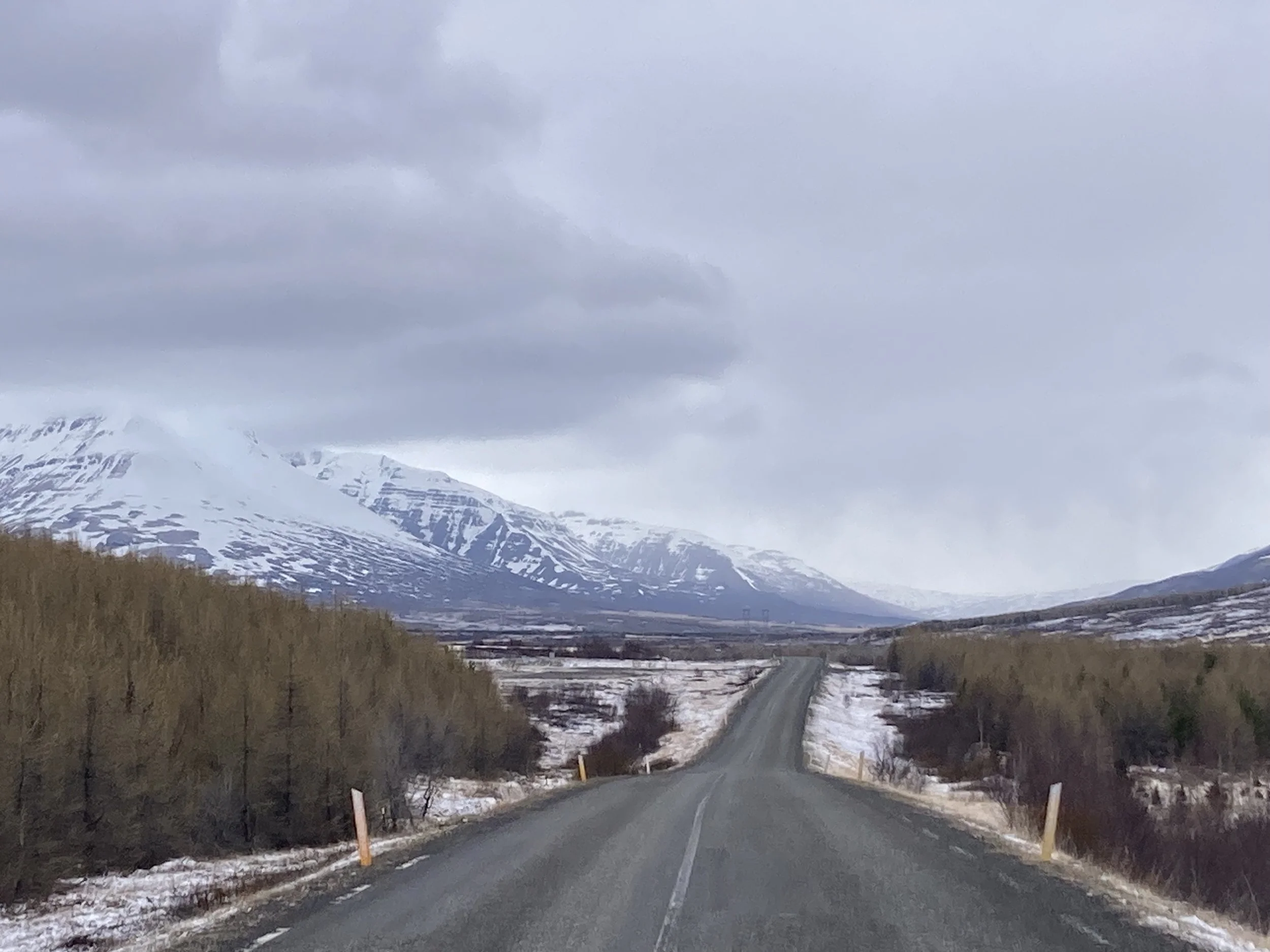
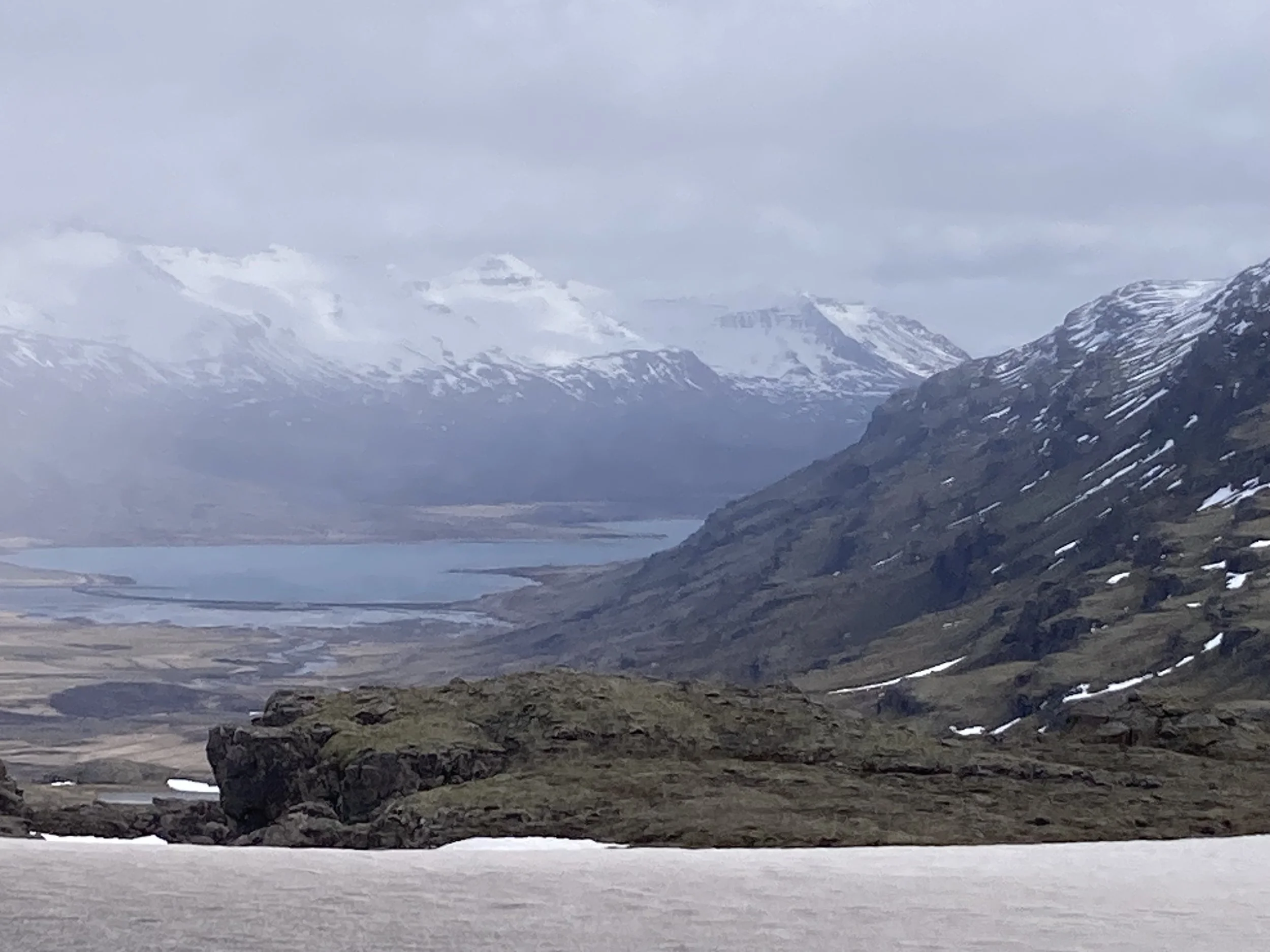
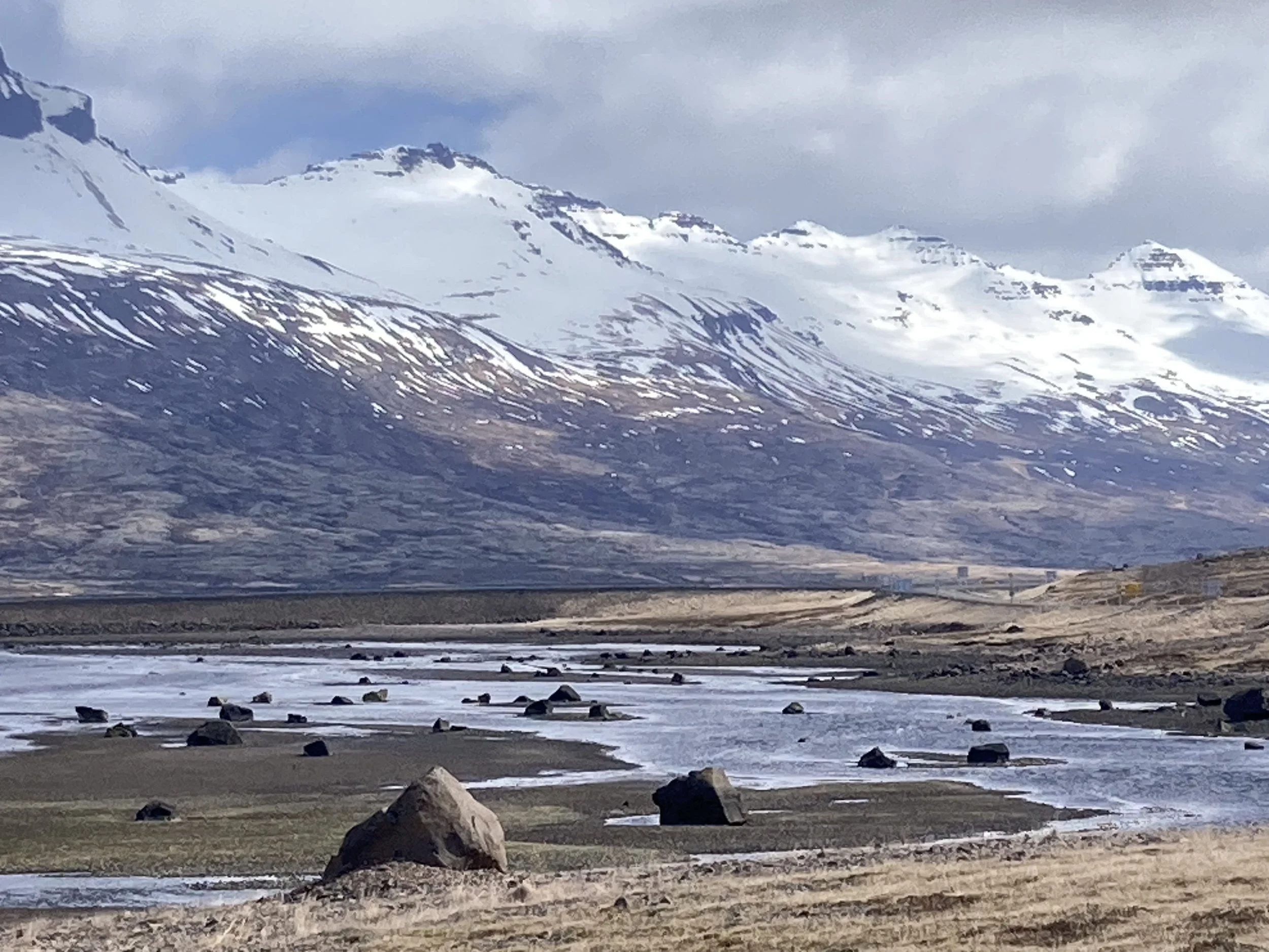
The route goes along a spectacular glacial valley, past spectacular lakes, with spectacular views. I take more photos, but I have definitely had my fill of Icelandic spectacular, it's all starting to look the same.
I do have a helpful tailwind, which I should mention because I won't always be this lucky.
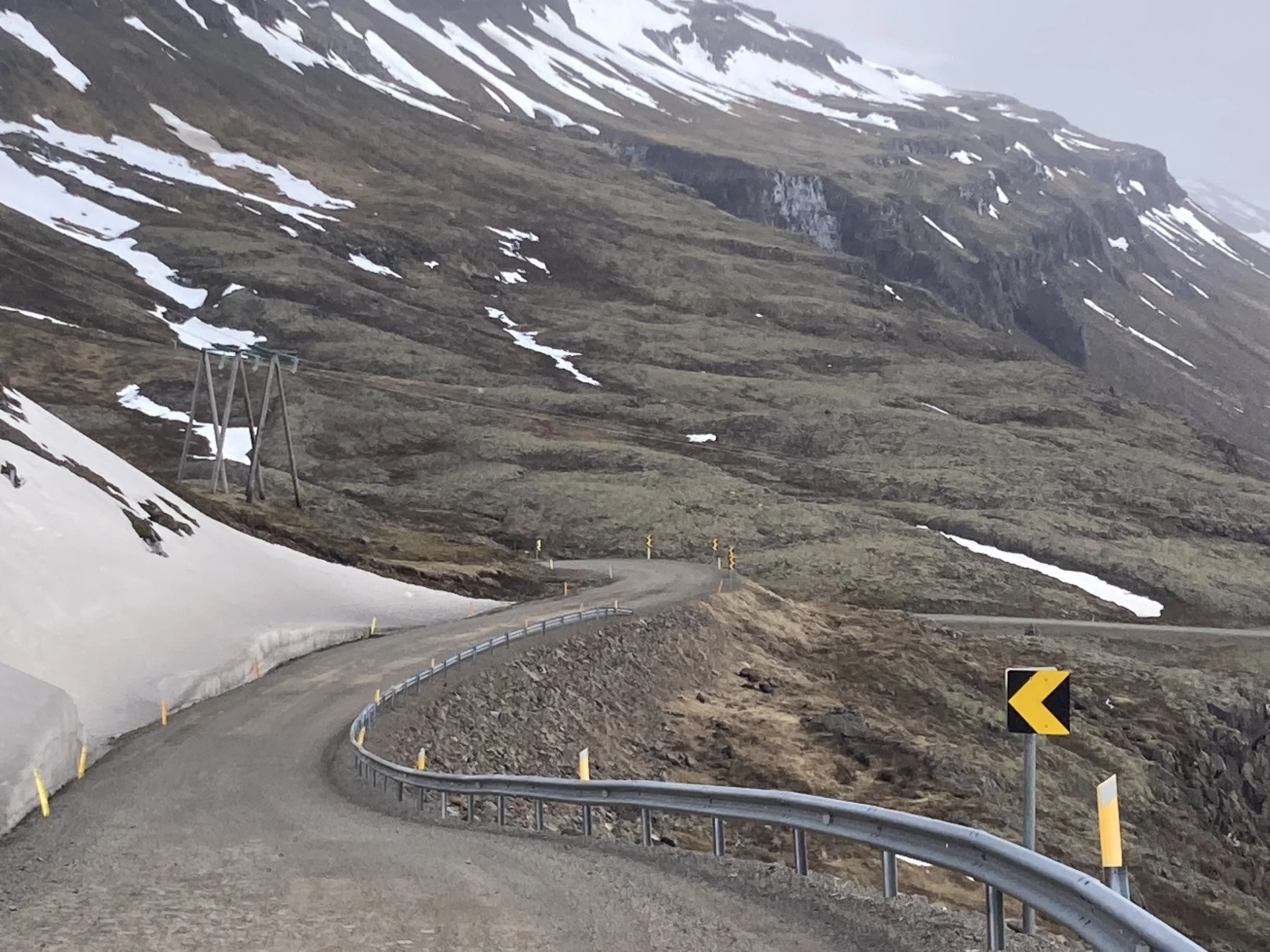
The road has been climbing for a while, then switches to gravel and potholes. No snow on the road at all, which is a good sign. There's a trickle of cars coming the other way, I'm sure that means the pass is open. They're unusually excited to see a cyclist: I get waves and thumbs-up from most of the people coming past. One van was being escorted by a drone! It suddenly appeared at head height but then zoomed up to a safe height without getting close to me.
A few cars had someone taking photographs out the window, because it’s spectacular. The road runs beside a river which means waterfalls. I stop for pictures too many times, but it's hard to see the screen so I can't tell if I'm actually photographing the thing I want to...
The climb is hot work so I've unzipped my raincoat and top to cool down, even through the temperature has dropped and there’s snow all around. The route winds back and forth and up and down, but I think I've passed the peak. I pull over to take a photo of the new vista and realize that there's a road safety vehicle slowly coming the other way. I give him a wave and smile as I cruise past, and get an extremely disapproving look in return ... I suppose he saw a cyclist, coat open in the freezing gale-force wind, rattling down the steep gravel track with a wild grin and reasonably concluded I'm certifiable.
I was starting to get cold, and the downhill was steep. I zipped everything up and hooked on both brakes, more on the back because locking up the front wheel would be bad. The view of the valley ahead is epic; there's clear glacial gouges on the side and it disappears into the fog. But my hands are getting cold so I grab a few rushed photos and plow on. This side is much steeper than the side I came up, I'm quite glad I didn't have to climb this.
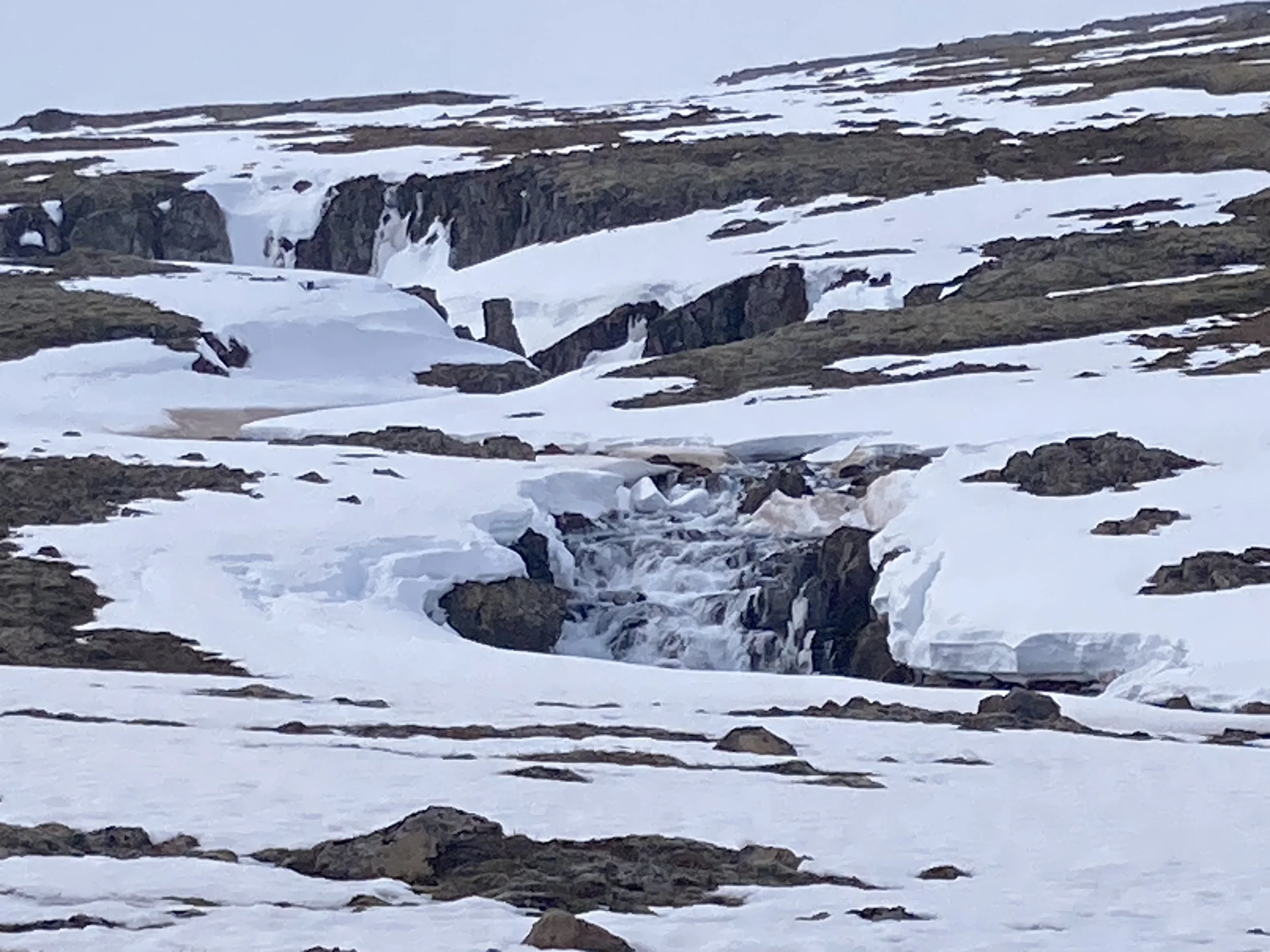
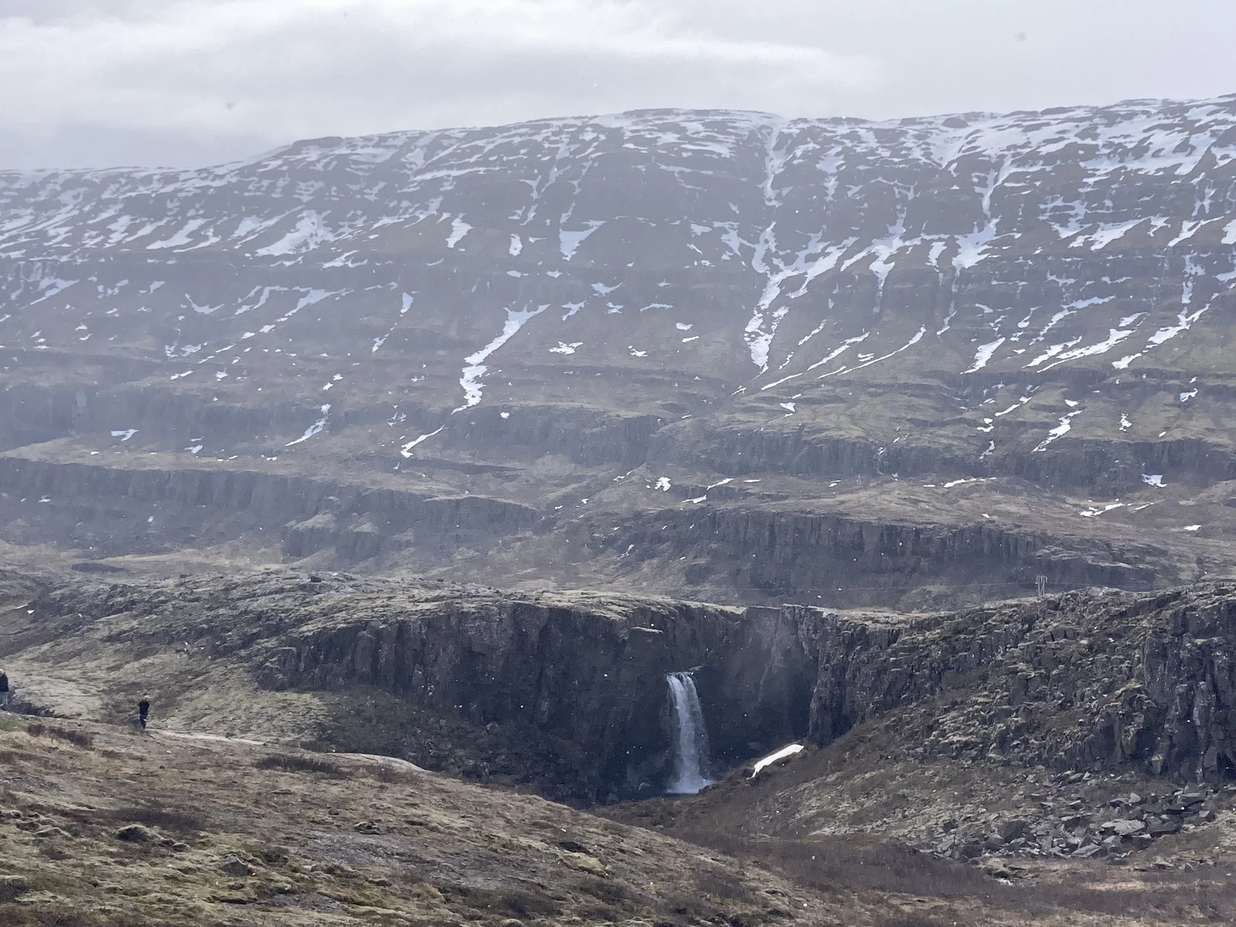
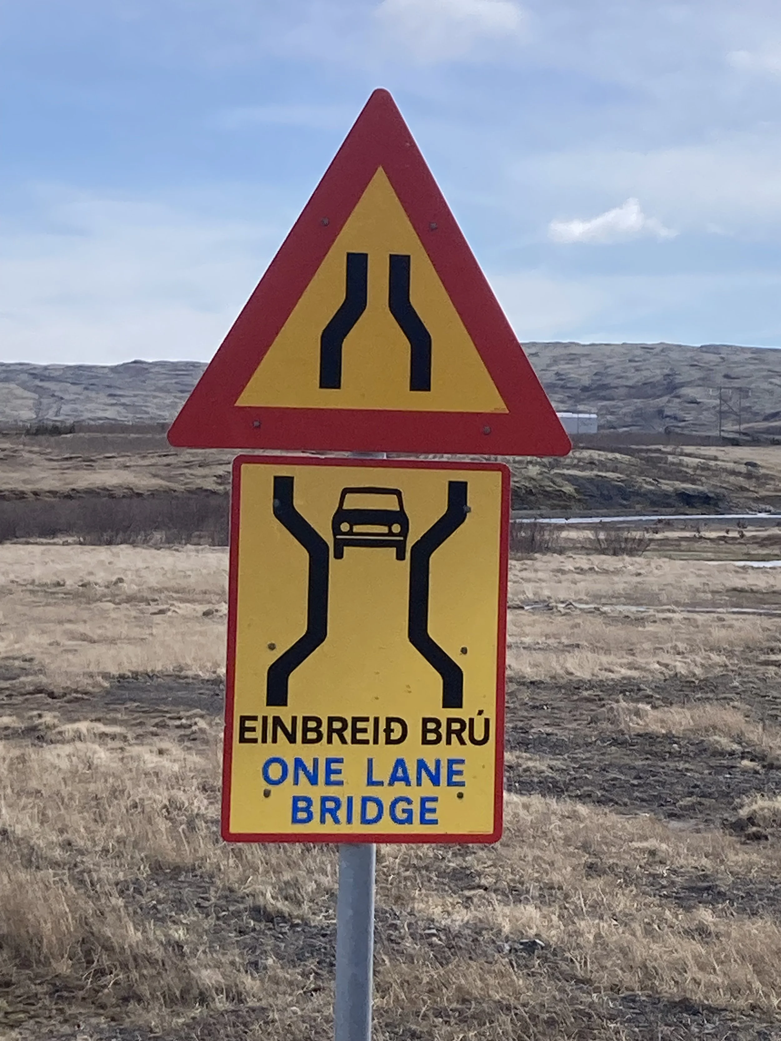
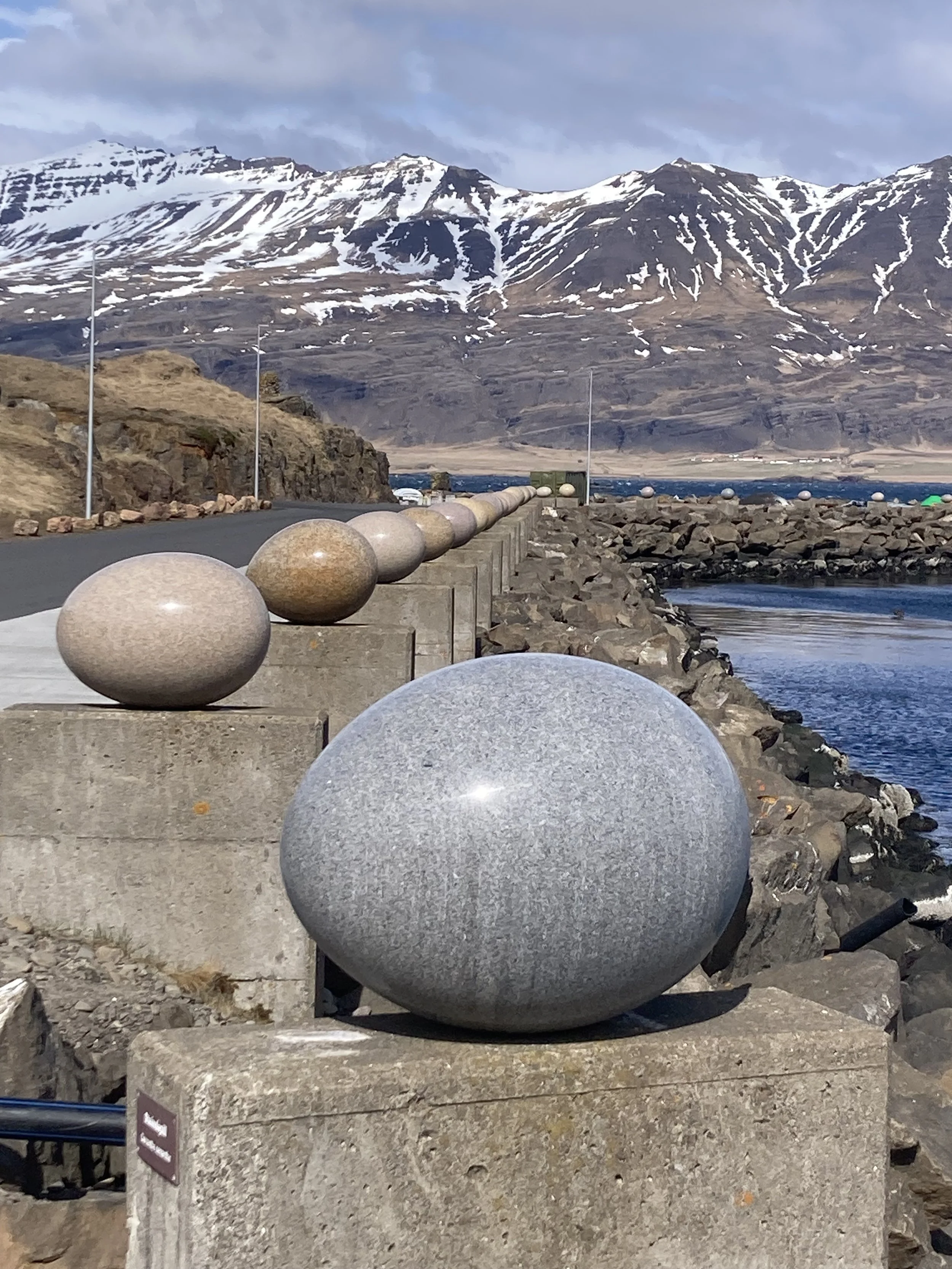
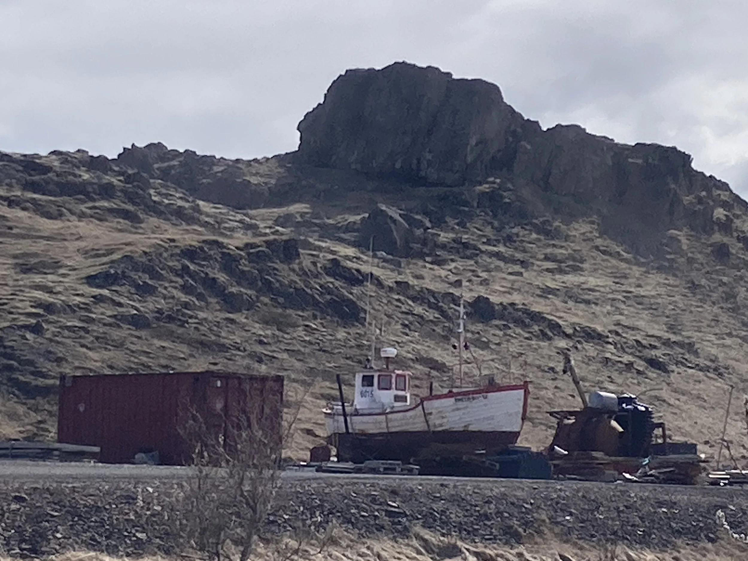
From left to right: waterfalls near the pass. The view from the other side. Road down. More waterfalls. Scattering of big rocks in the river. Lunch view. One lane bridge warning; there’s a lot of these on the ring road. 34 sculpture eggs; the area is a working port. Stored boat.
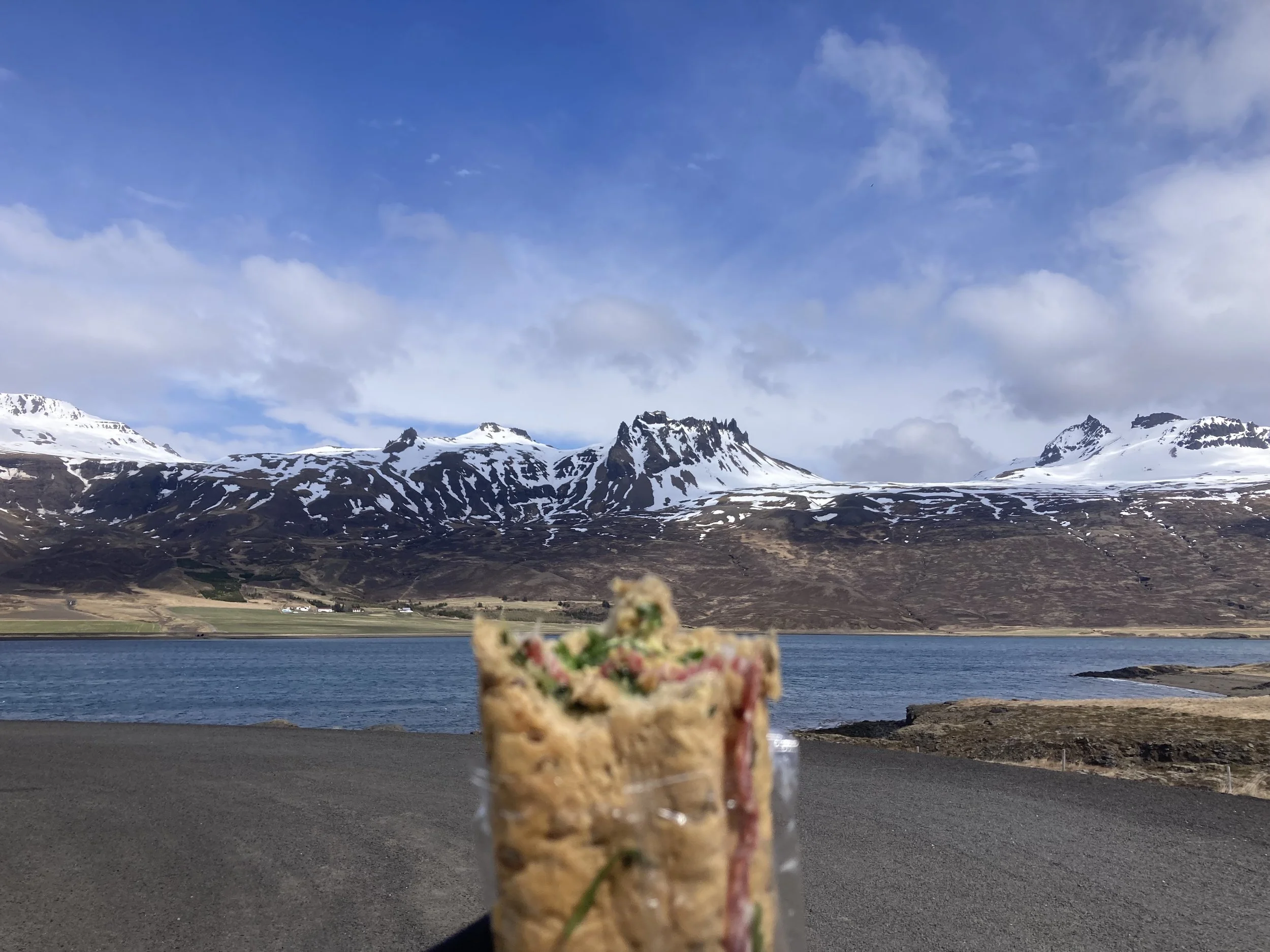
The final section was back on Route 1. I stopped for lunch at a scenic spot, but there was no shelter from the wind so I did not stop long. It was still a tailwind then, but then I suddenly noticed it had switched direction and was now a headwind, sometimes an awful headwind. Previously I was zipping along in top gear; now I'm in a low gear and swerving back and forth to catch the bike as it's blown around. Hard work and slow progress.
And a bit unexpected; the wind forecast I saw this morning showed it blowing to the southwest. And inauspicious, because I'm going southwest for the next few days and the wind forecast for those days showed this same direction... it looked like I wouldn't have a headwind, but maybe I'm not going to be so lucky.
But since I'm on the coast I'm pretty sure the temperatures will be above zero, at least.