Day 15: Te Anau-Winton
Back on the bike after a week break, and there's some aches. I'd done a bit of light exercise, but it's Christmas, so I was more focused on overeating and napping.
A very late start. We'd been in an AirBNB and were busy until 10 getting everything packed up and cleaned. After that was the regular bike check, sandwich and Powerade pickup, so I finally got moving at about 1030.
The first section was on State Highway 94. This is a Saturday, it's the day after Boxing day, it's midmorning: and it's surprisingly busy. Maybe it's extra busy most of the time and this is quiet? I have the usual complaints, but I won’t repeat them. It's not a nice time, but there's no real drama.
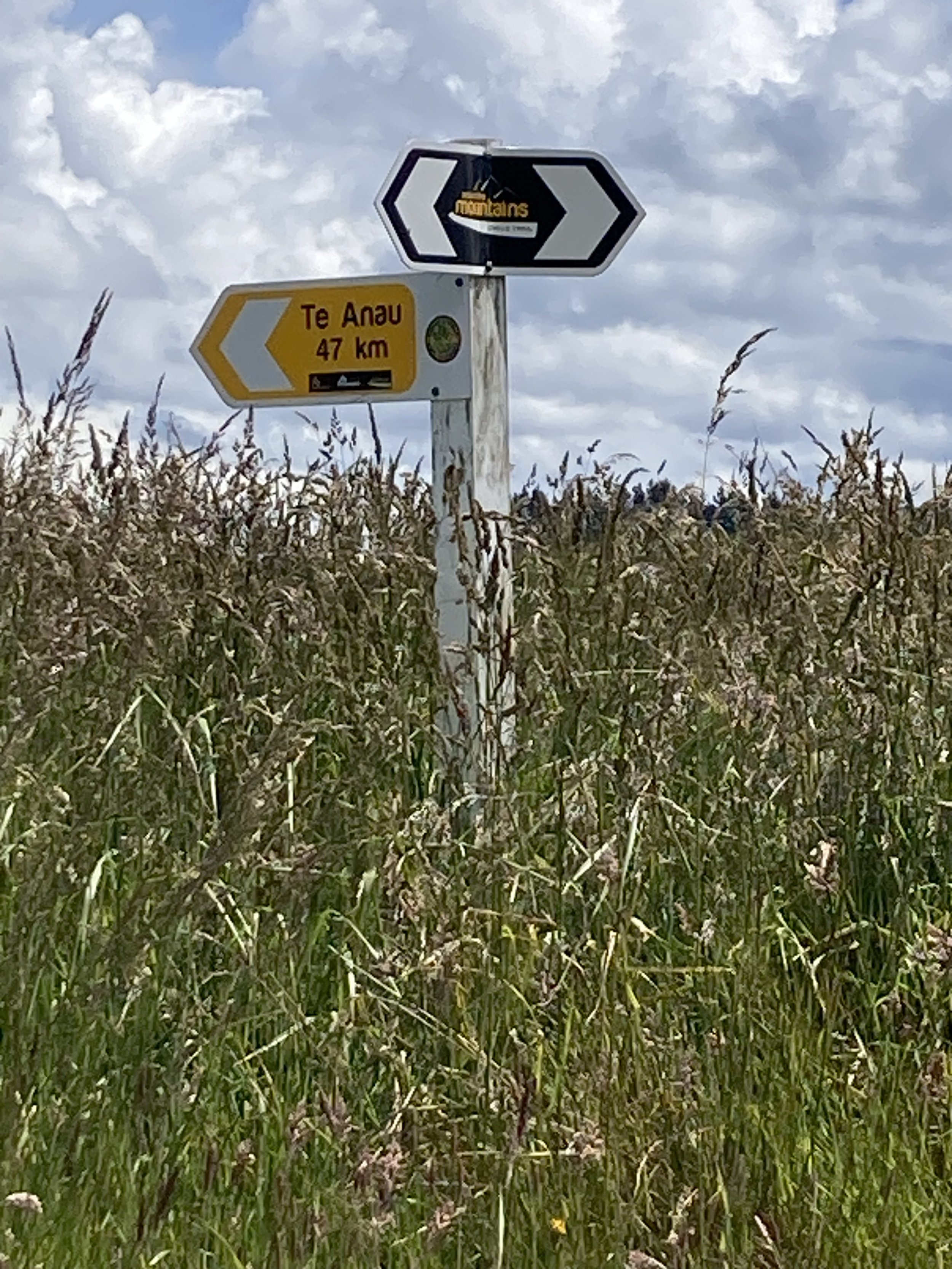
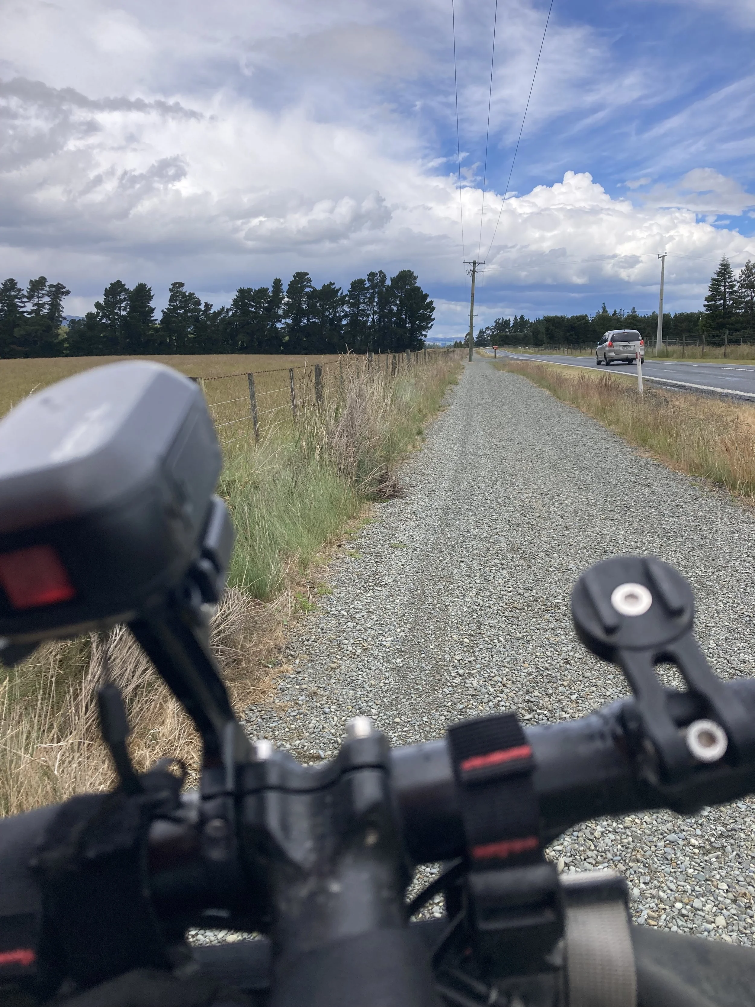
After about 50km the route turns off and joins the Around the Mountains Cycle Trail. Which was an excellent cycle trail! Where was it when I came to Te Anau? (The answer is, it was about 12km away. When I came into Te Anau I met the state highway much closer to town.)
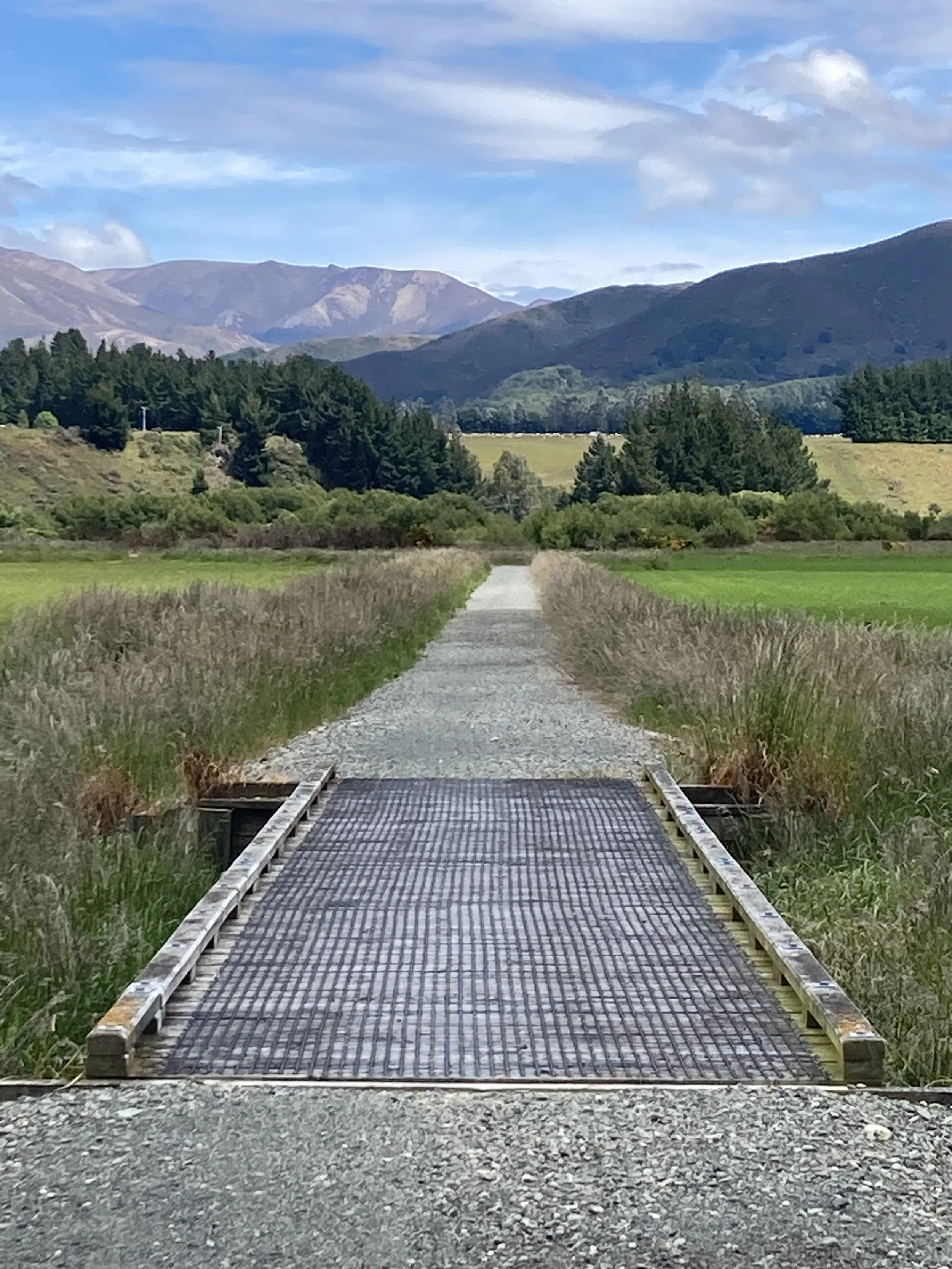
This trail is not cheap. Every time it crosses an access road to a farm there's a small cattle-stop just wide enough for cycles, and then another on the other side of the road. There's fences on either side, to separate it from the farms. It doesn't go straight though; it winds back and forth in a very complicated way. Perhaps it's the final, bitter compromise between property owners and the council. But it could just be a contour line.
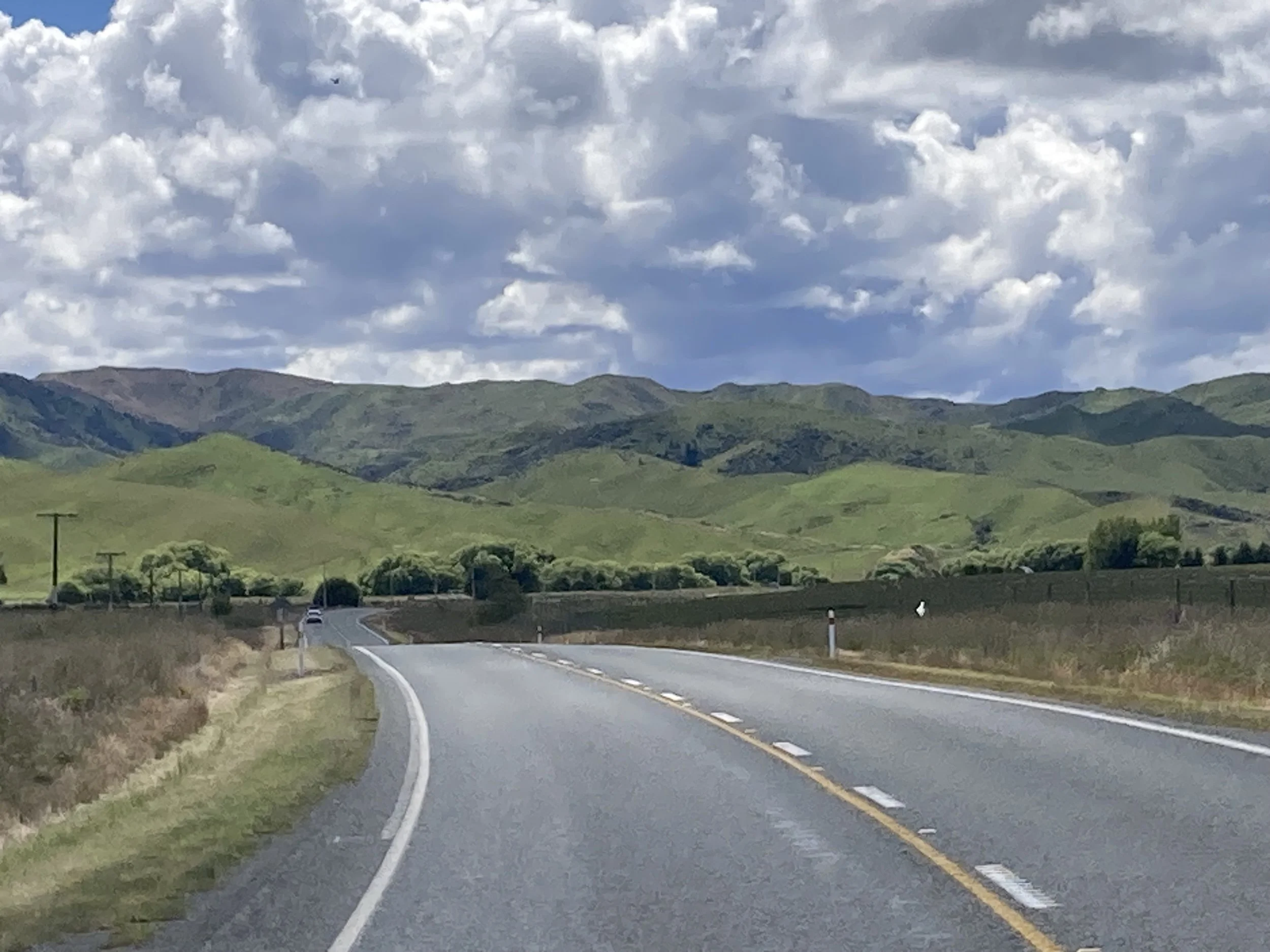
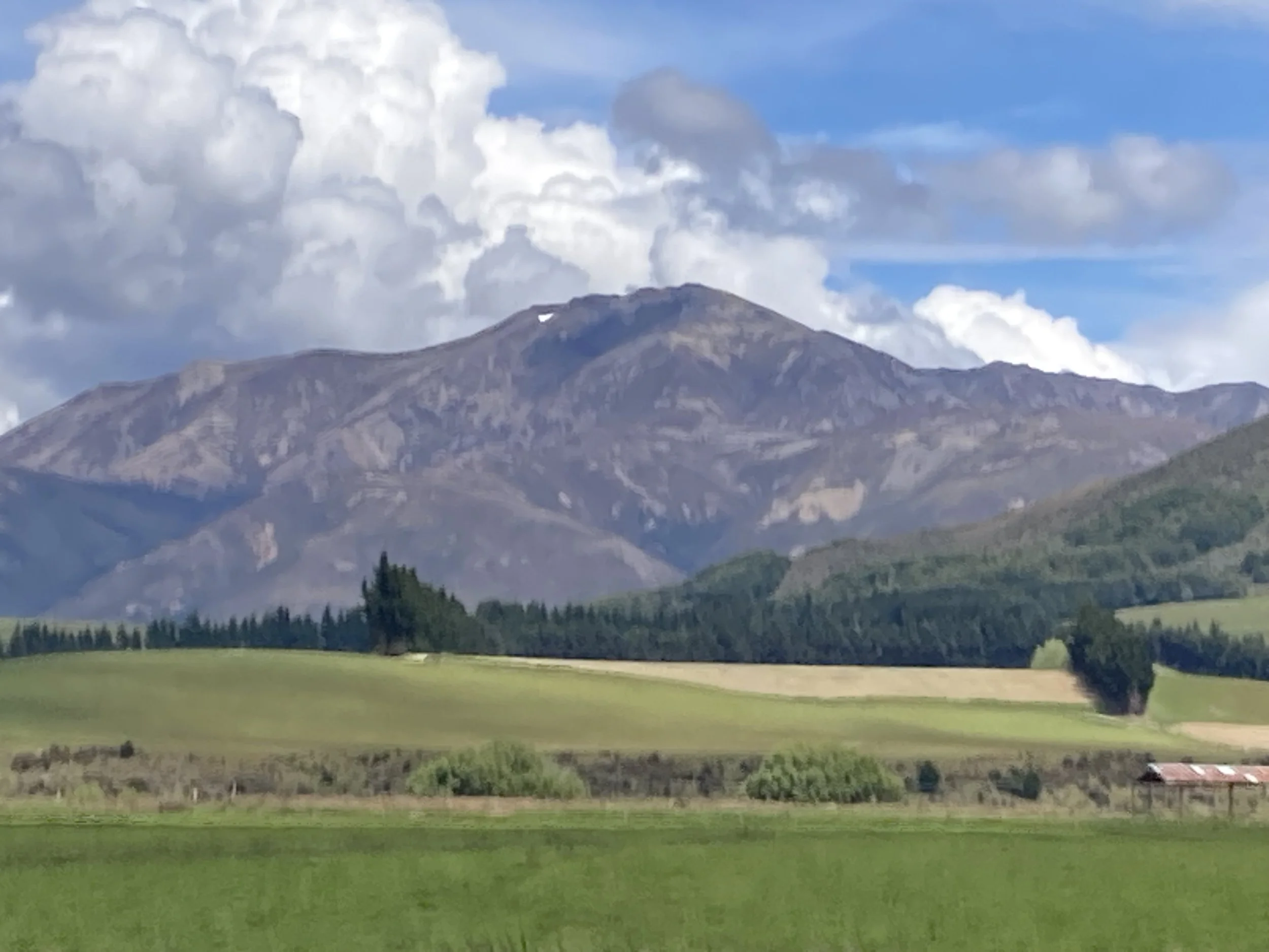
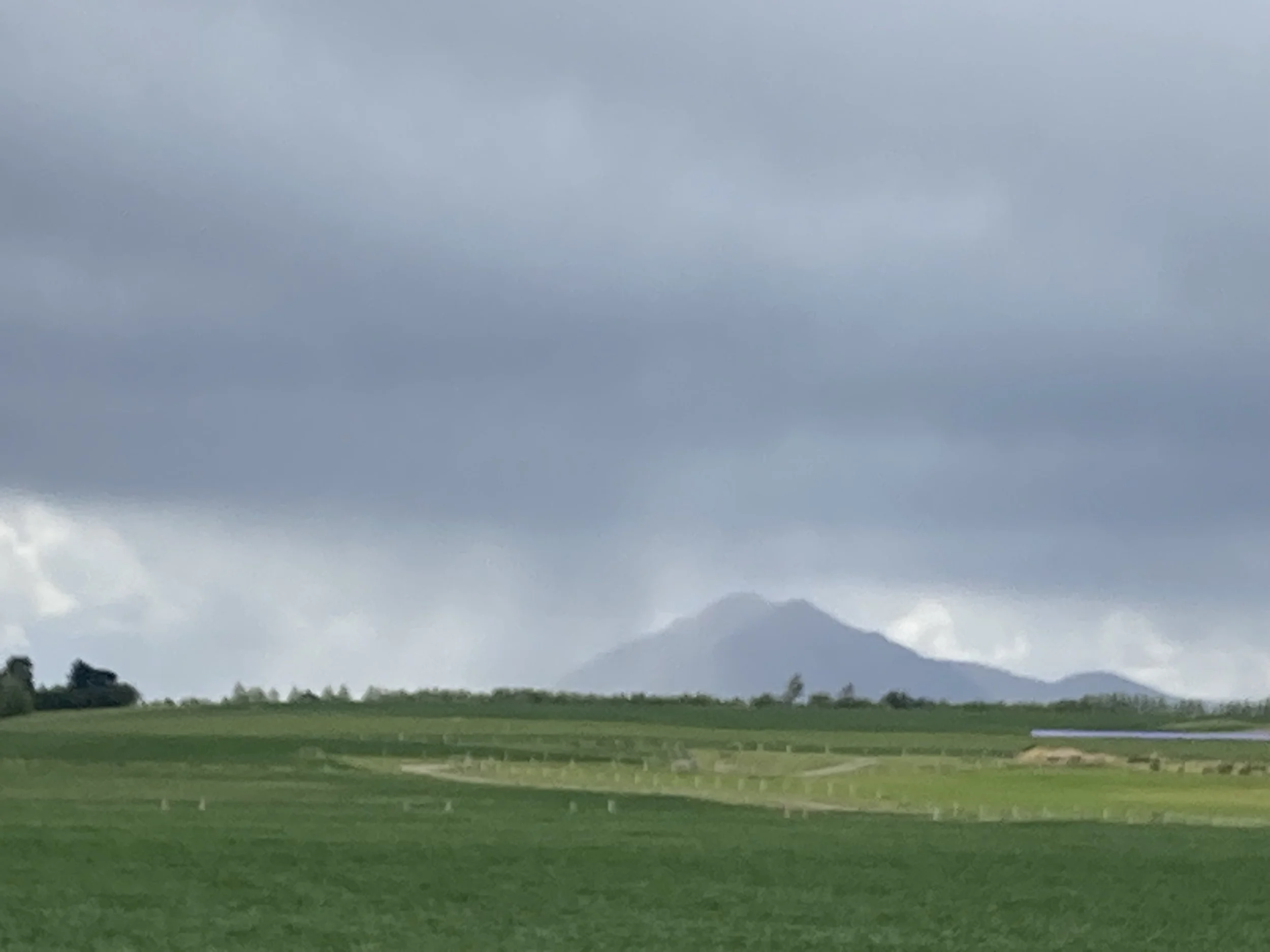
From left to right: more South Island views. Joining the cycle trail. Nearby rain. The cycle trail. Lunchtime view - in the good direction.
The day is somewhat sunny. But rainclouds slump about the hills. There's clear blue sky in some places, and dark lumpen clouds in others, sometimes with rainfall visible. Which is quite something. I'm used to rainclouds and rain being a fairly widespread thing: when it rains, everything in sight gets wet. But here I can see a single farm getting rained on while everything else is not.
There's a headwind, but the track snakes around so much it's usually not head-on. I'm keeping an eye on how the rainclouds and trying to figure out how they’re moving and if I'm going to get rained on, but I guess I don't have many options. Either stop or ride.
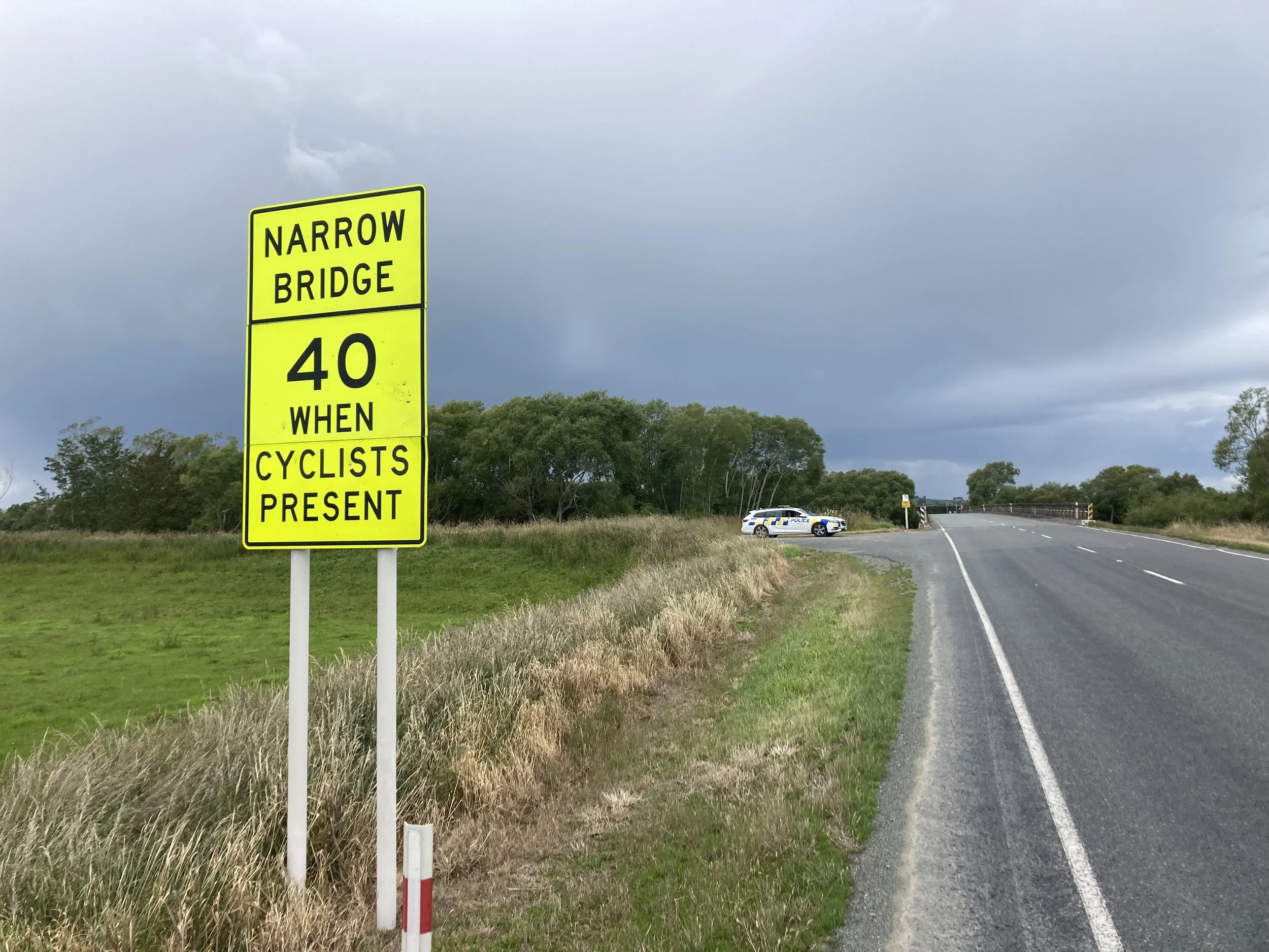
I'm trying to find a sheltered place that won't be rained on so I can have my sandwich, but have to give up. So it's a quick lunch with a constant wind. Behind me it's blue sky and a nice day to be out and about. In front there's a big dark raincloud and it's best to get indoors. A few splats of rain arrive. Time to get out the raincoat? Given how localized the rain is I think I'll take my chances... I plough on. I’m approaching Mossburn; the trail and roads are already wet and there’s a big grey cloud overhead starting to unload some rain. Stop or ride?
Hide and get a coffee until it passes. There's an open cafe here, called Bracken Hall. I order a coffee and a chocolate strawberry cake and get a coffee and a very solid non-cake thing, resembling a compressed muesli bar with dried fruit. It's nice, but it’s so tough the knife they provided can't cut it. I give up on utensils and gnaw at the corners. It’s slow going. But when I'm done the rain has passed.
Back on the State Highway. For a hundred meters only, happily: there's a bikepath! More of the Around the Mountains Cycle Trail. But the gravel is a bit too deep to be a safe surface. On the left is a fence with a couple of barbed wires which I don't want to fall into; on the right is the drainage ditch beside the road. Electricity poles regularly come along and they're in the center of the path. Each time, there’s the width and gravel quality of each side is different. The bikes before me also had to choose which side of the pole to go. But I can see from how the gravel is packed there was a clear consensus, and usually one I agree with.
The gravel was too deep and the path past the poles was too narrow to go fast. But being separate from the highway is enough for me. So I tool along sedately.
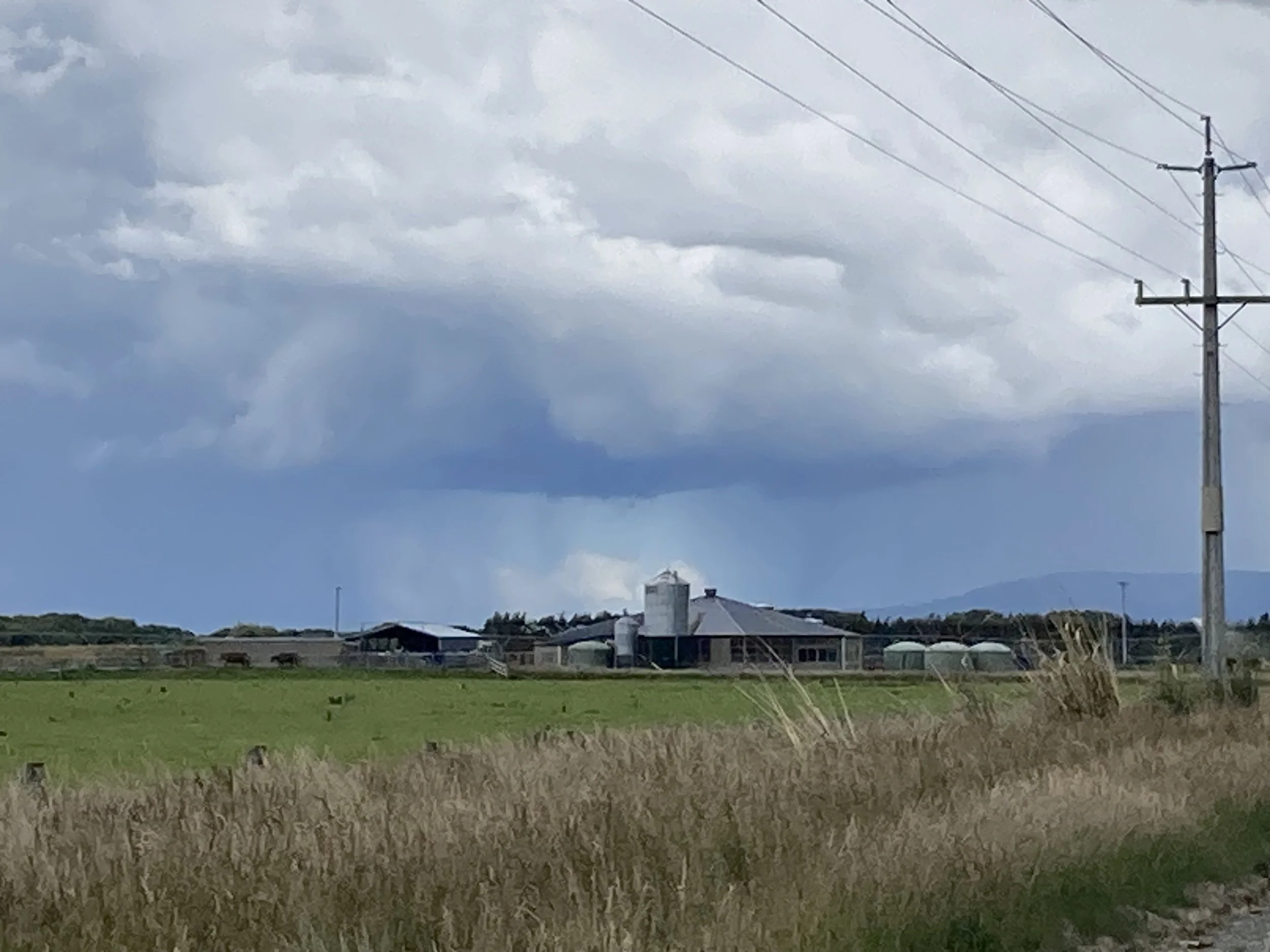
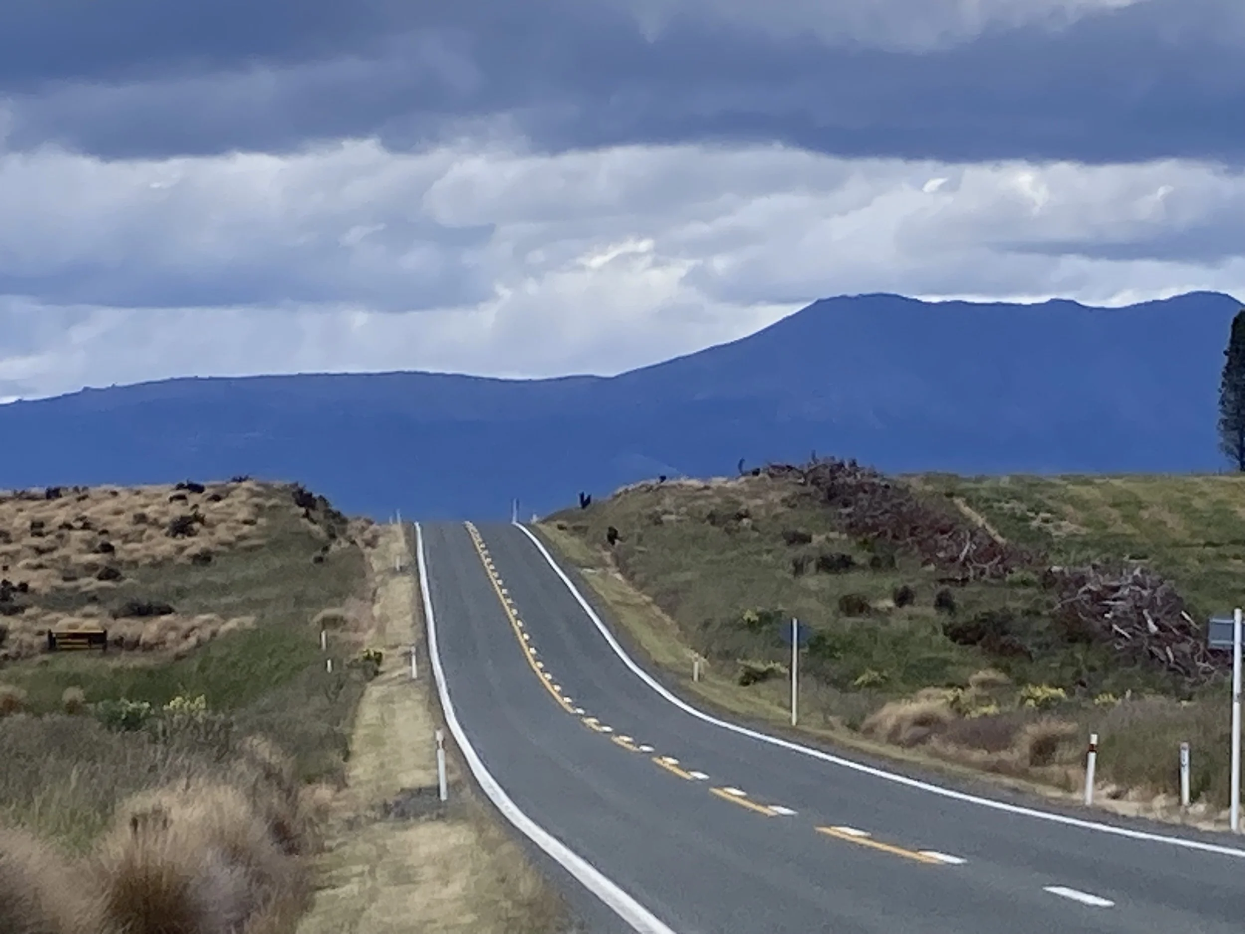
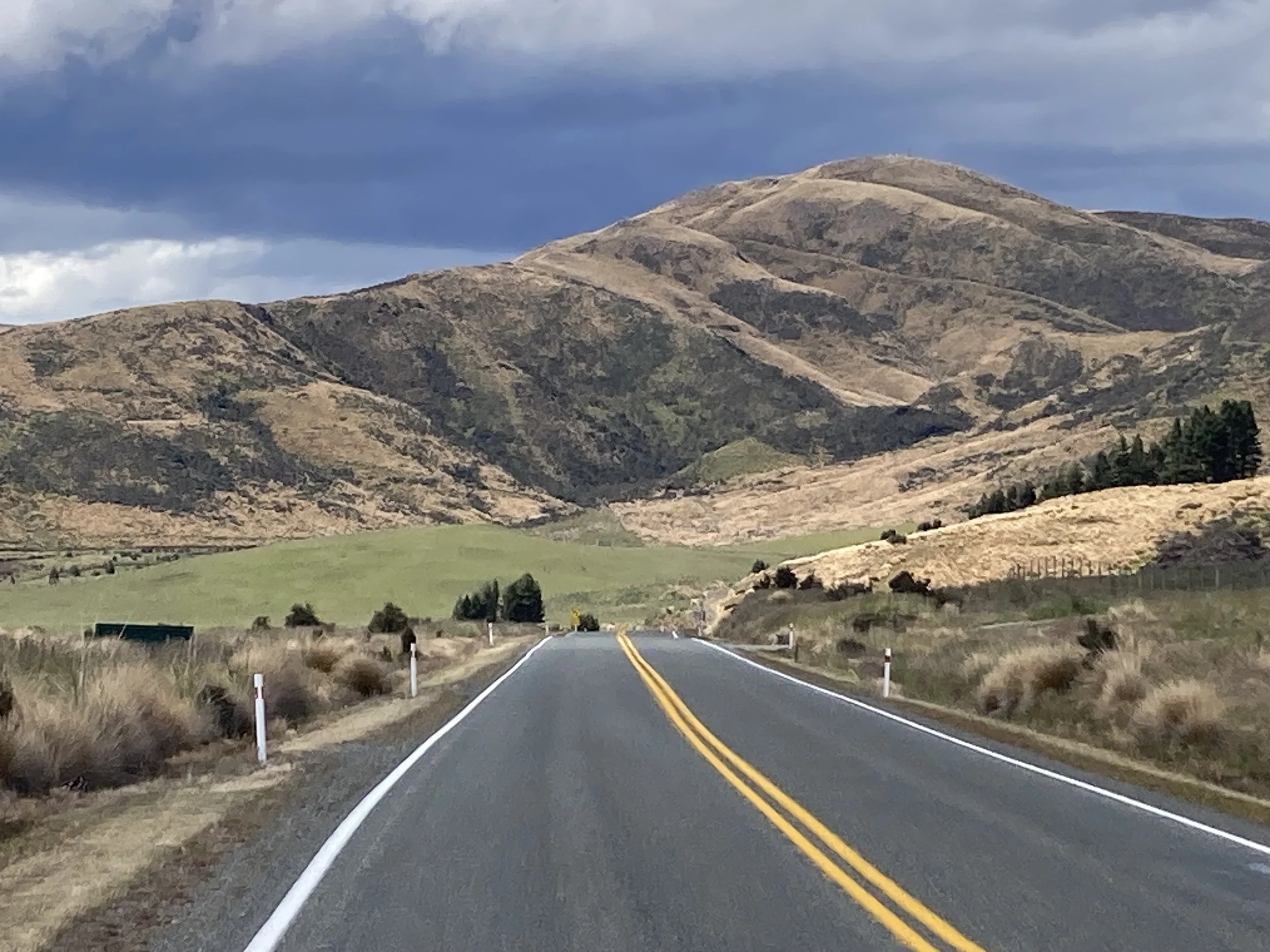
From left to right: bikepath beside the highway. Distant but localized rain. And more. Escaping the rain. A thoughtful sign.
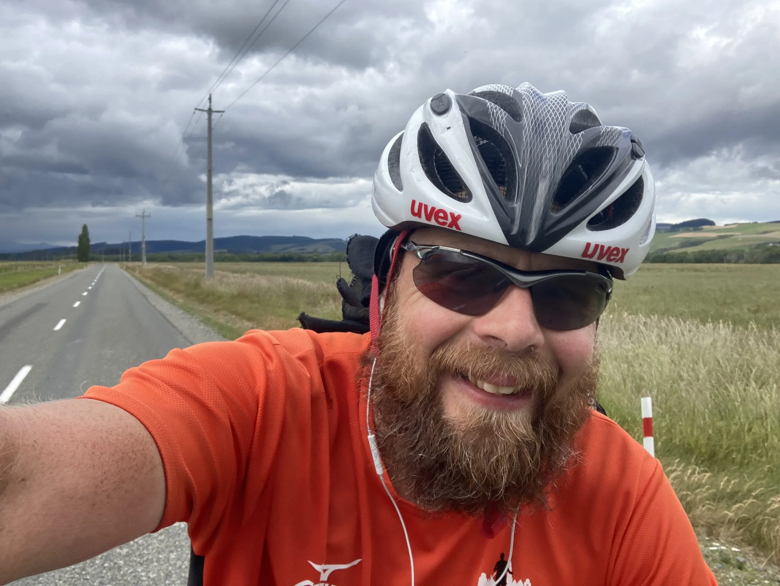
Next section is a B-road to Winton. There's also a State Highway option, this looks like the old road. The surface is still fine, and it's nearly deserted. I put myself on the left lane, change up, and can finally ride without worrying about traffic. I do some leg stretches while the bike freewheels. This is low-stress riding and I zone out a bit, and suddenly half an hour has gone by.
Very occasionally something comes the other way and I'll ease onto the verge; but it's so quiet that cars passing me go right into the other lane and show no hurry to change back. The sun comes out for some of it and it's great! But there's occasional raindrops, from the rainclouds around. It doesn’t actually rain on me, but there’s puddles and wet roads around so it looks like I’ve been lucky.
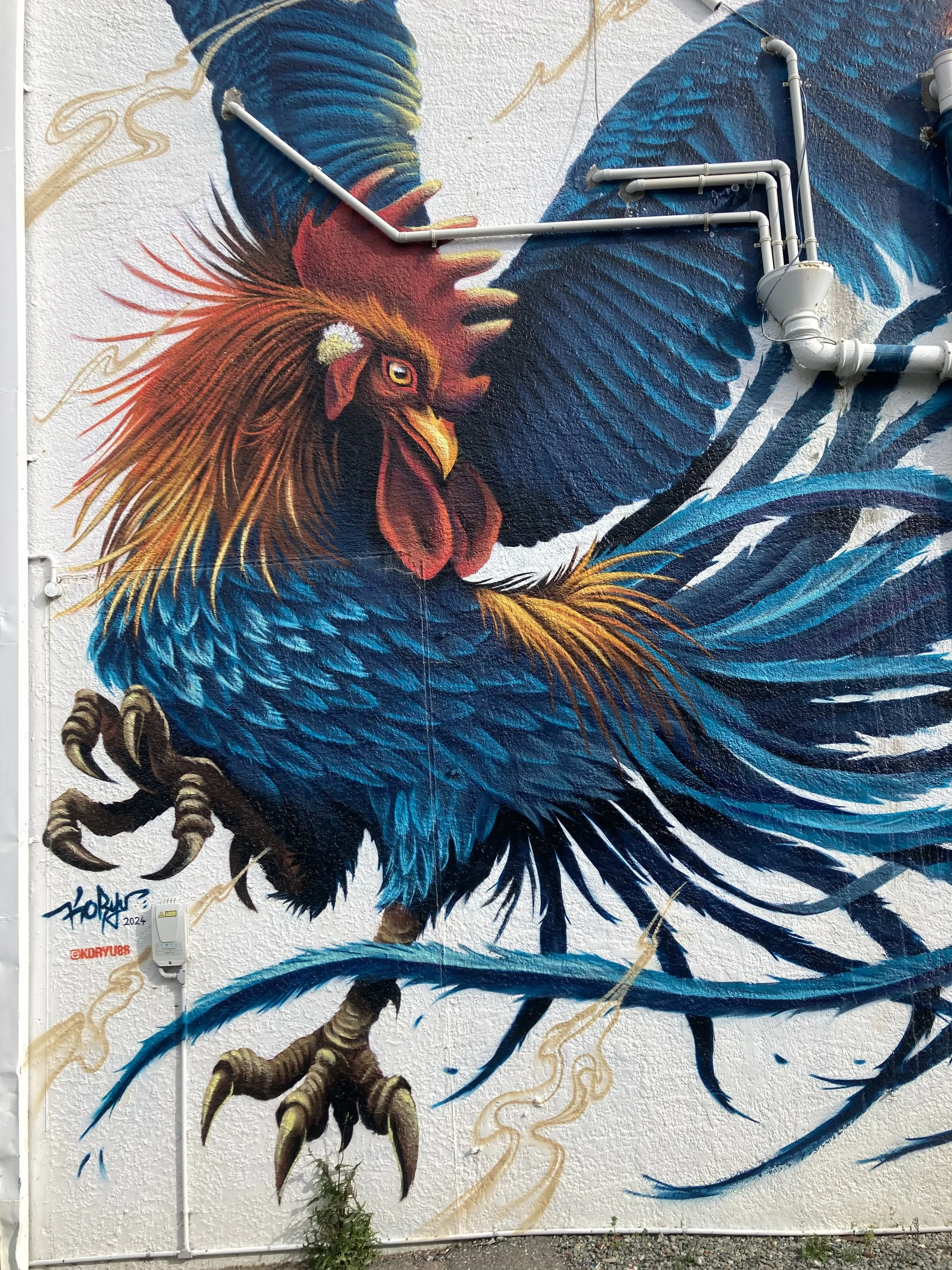
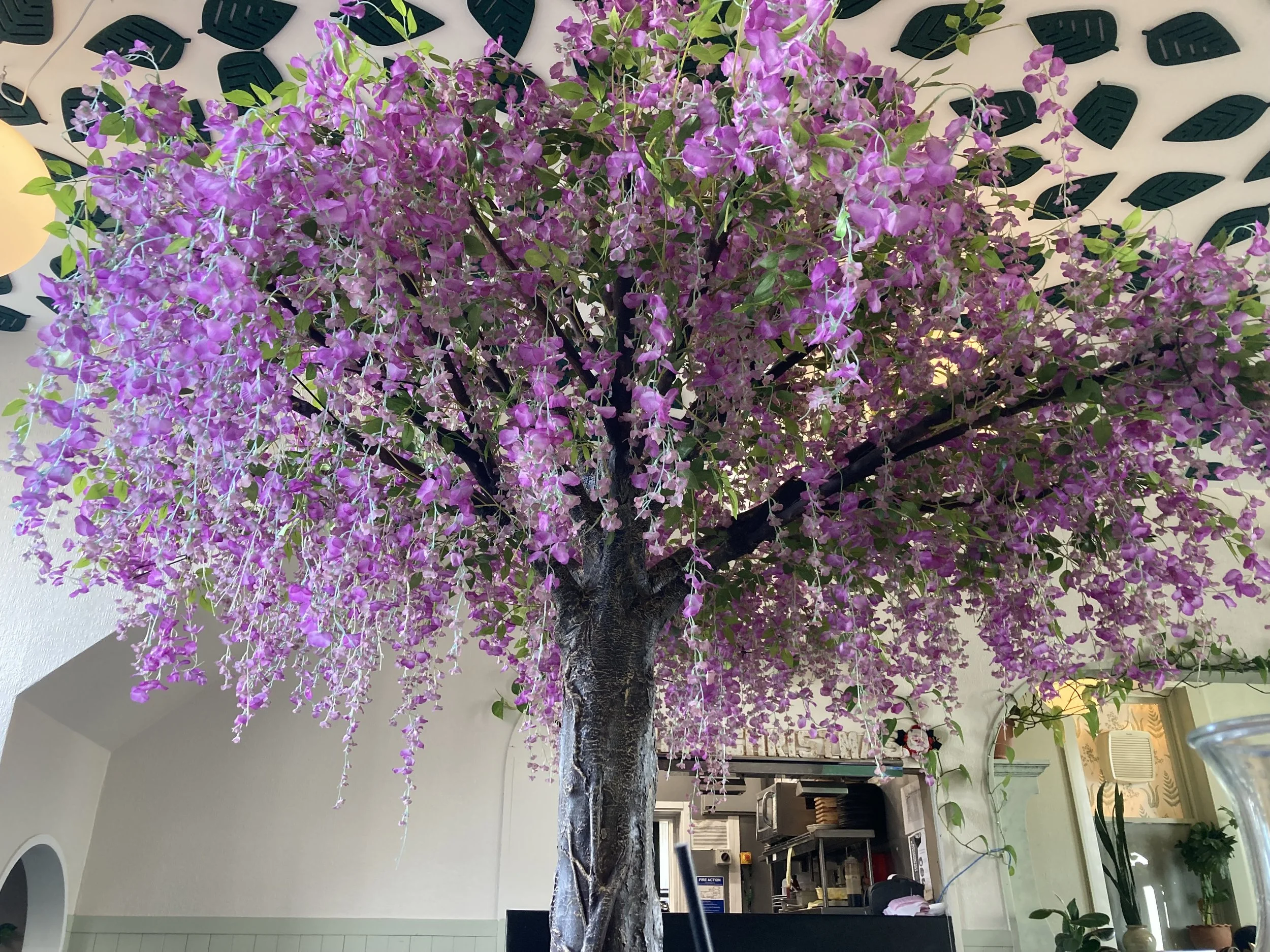
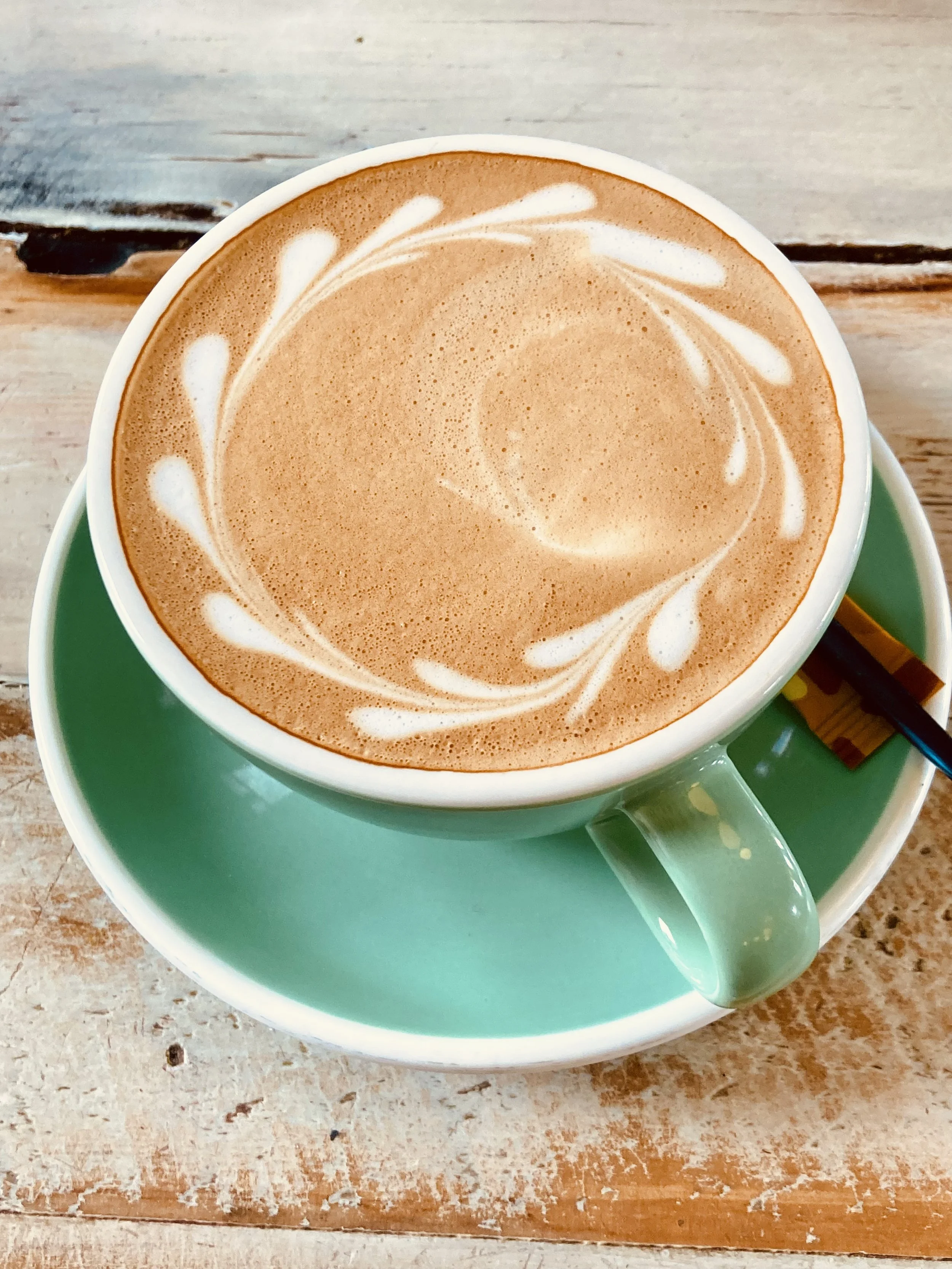
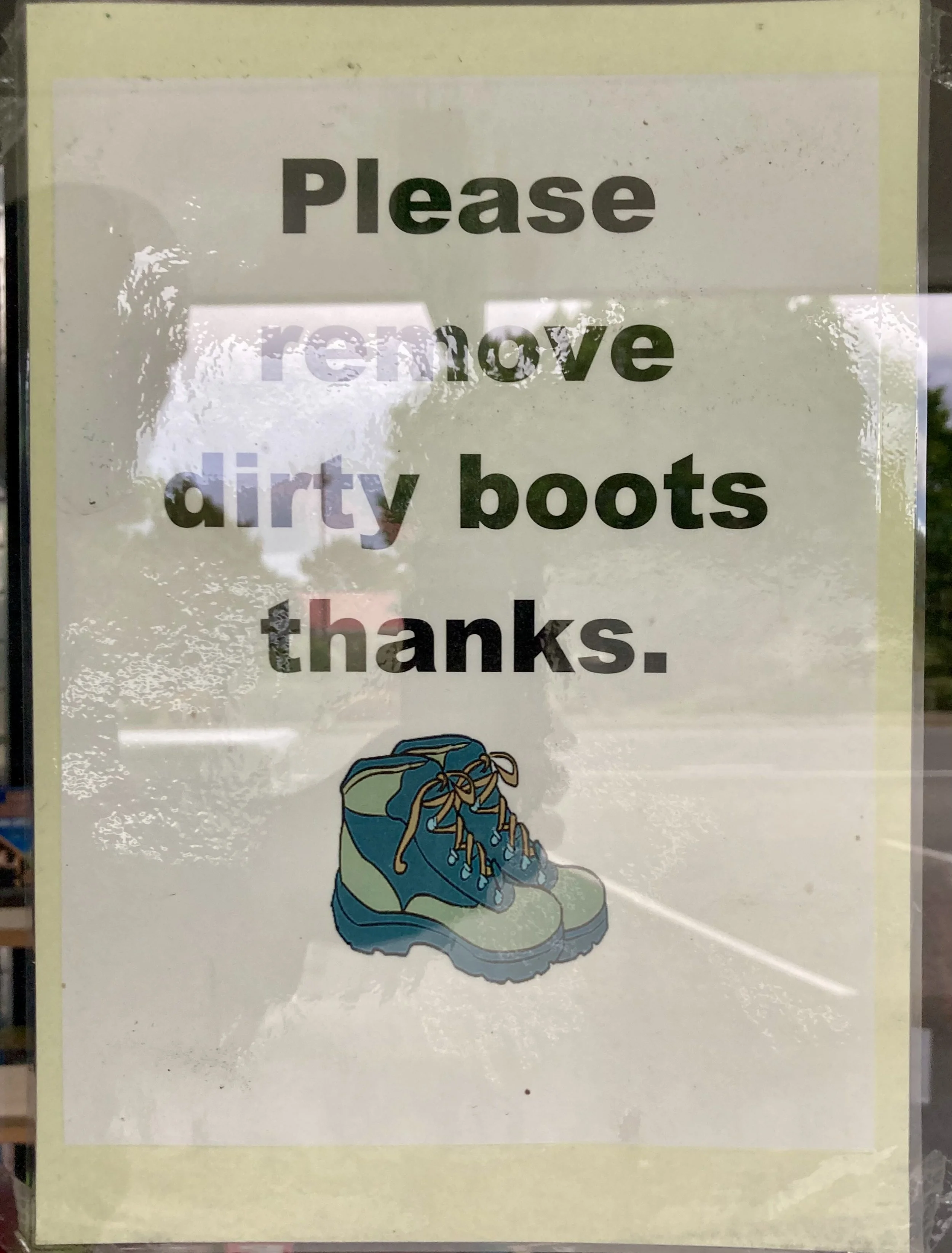
From left to right: Winton street art. Indoor tree at dinner. Quality latte art. Most shops had a sign like this.
Winton is a quiet little town; almost nothing else was on the road as I came in. Only one or two choices for dinner, and the streets were deserted when I was out. Tomorrow is the last day, and it's not too long - so there's no rush in the morning.
I should probably do some stretches to work out those aches.