Day 16: Winton-Bluff
Final ride today. I'm going to Bluff which is the end. The route passes through Invercargill, and afterwards I'm cycling back there - to my hostel.
Get a sandwich in Winton before I leave, or pick up something when I pass through Invercargill? Now is safest, but the options at the supermarket are uninspiring. No filled rolls. The sandwiches are meat-and-fat, no salad. It'll have to do.
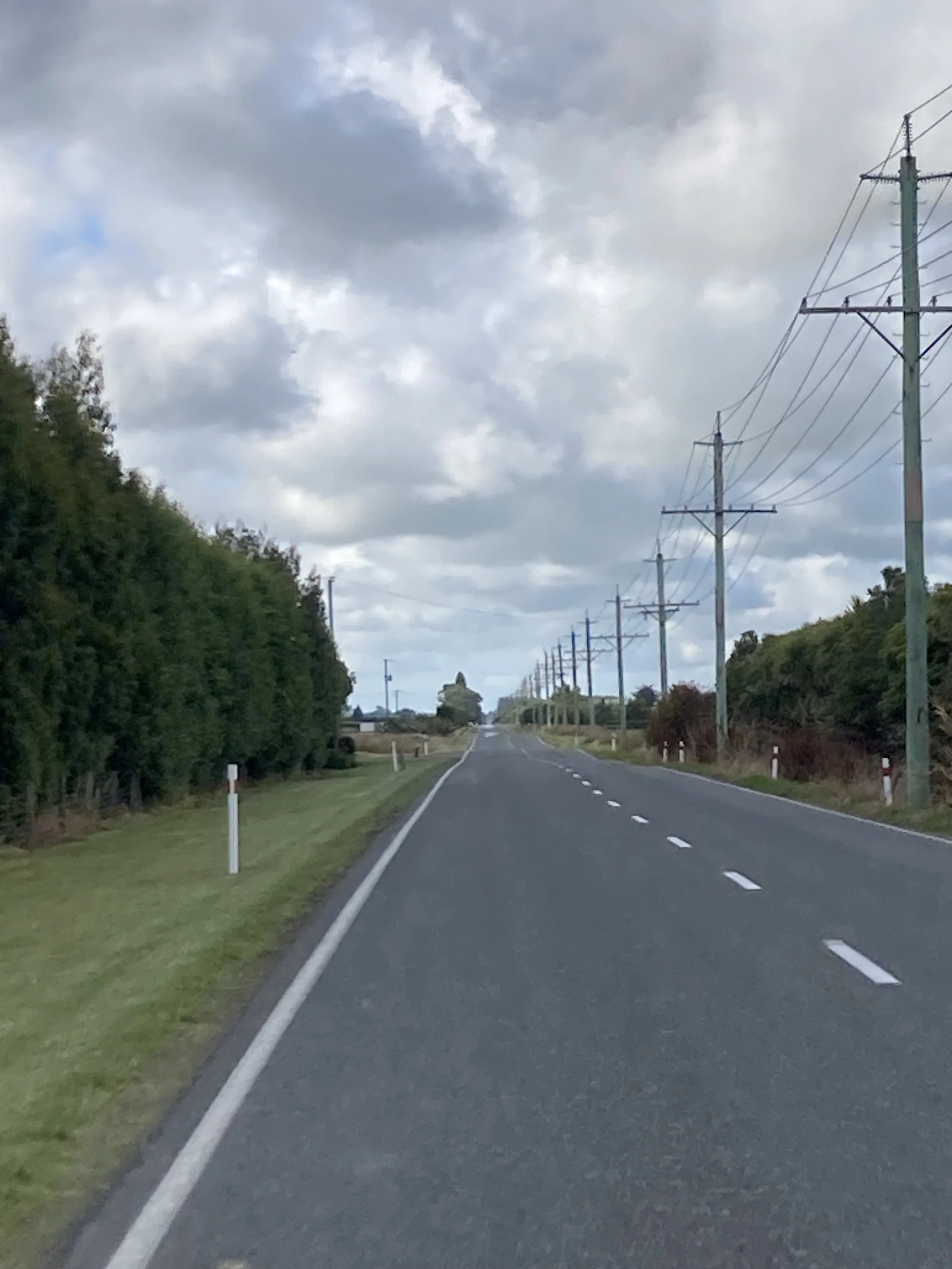
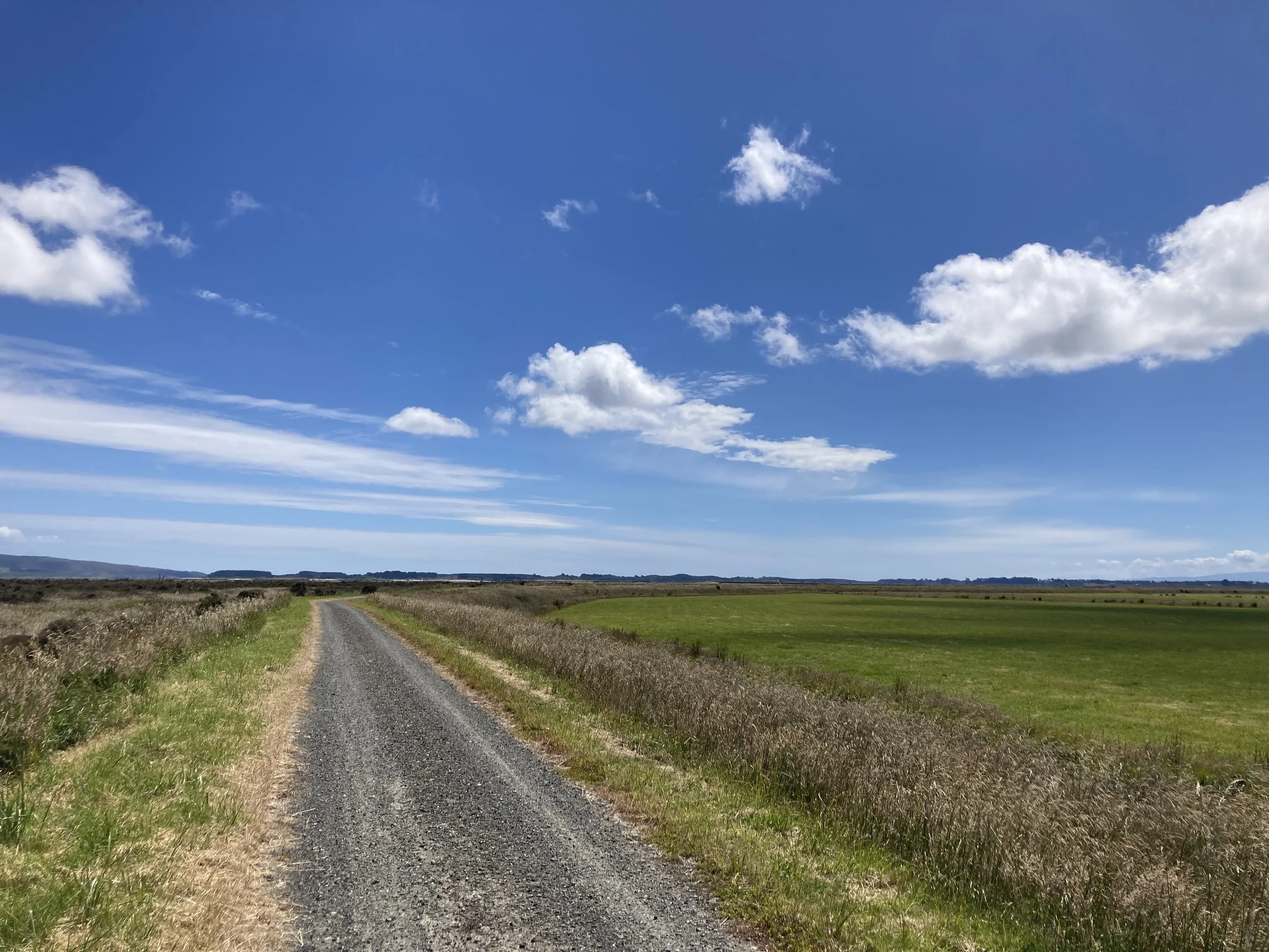
The day starts like yesterday finished: good flat B-road so I can hang out in the left lane and get into a nice high gear, so relaxed I can admire the scenery.
Then the route turns off the good asphalt onto gravel. There's a big NO EXIT sign to make it clear that things are going to get interesting. And as promised, the road does come to an end: but the bike path continues up and over a steep, meter-high hump. I can see gouges where someone's chain ring dug into the ground. One set of tyretracks goes straight over; I guess someone had enough speed to make it work? I'm not keen to try that with all my cargo. So I walk the bike over: push the bike up a bit and put the brakes on, take a half-step forward, release brakes and push it a bit further forward, and repeat. Actually, the tyre tracks probably went straight over, maybe it looks like I rode straight over too...
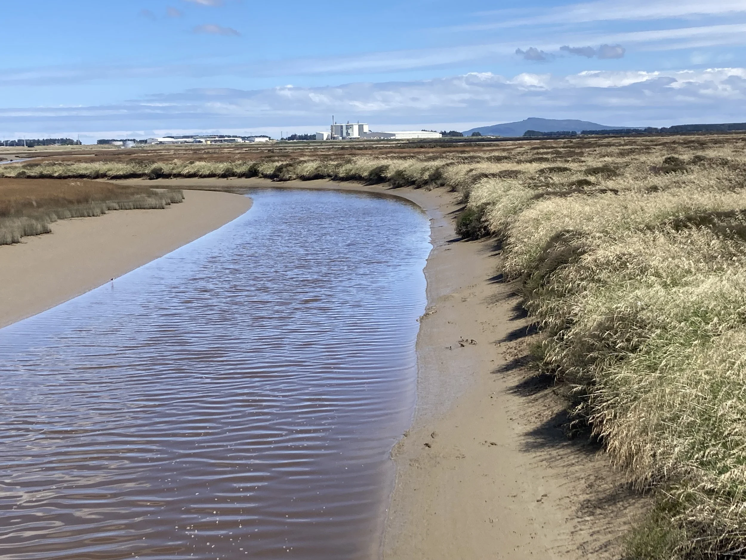
Near Invercargill it gets on a pretty good bike path, which runs all the way to the end. It's wide enough to be a two-way path but most of the time there's a single good rut down the middle which is getting used by people going both ways. Who need to keep an eye out for incoming traffic.
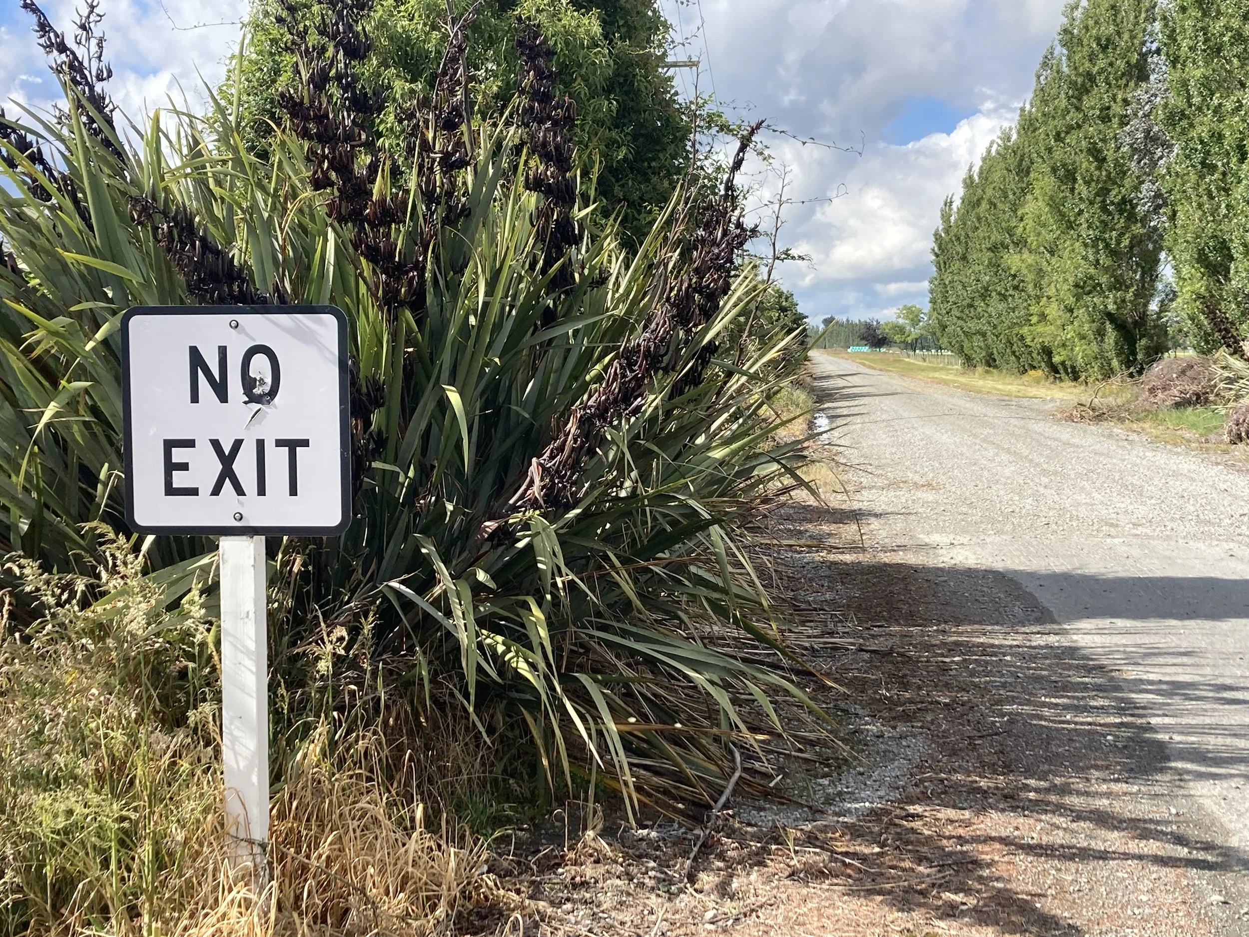
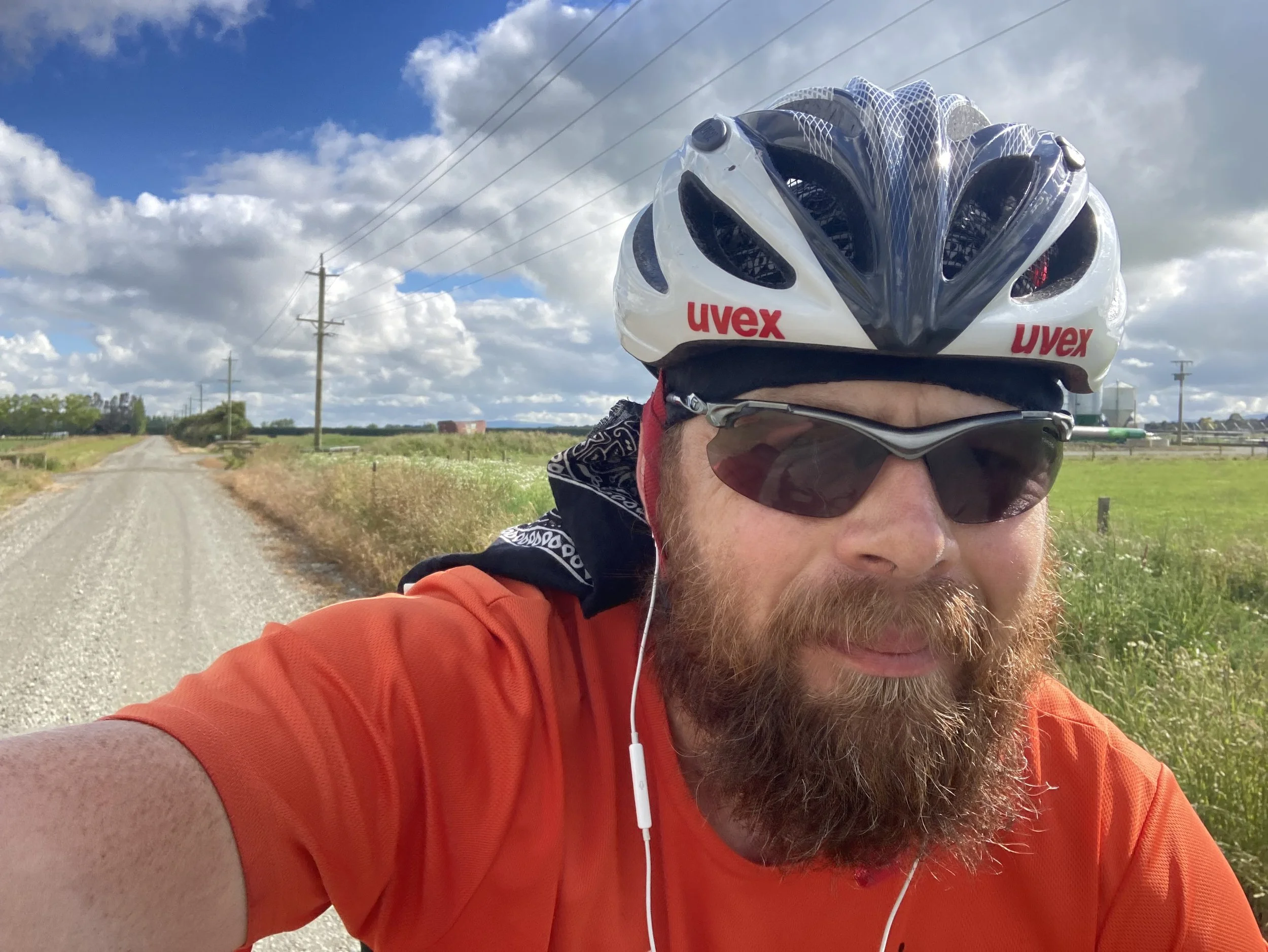
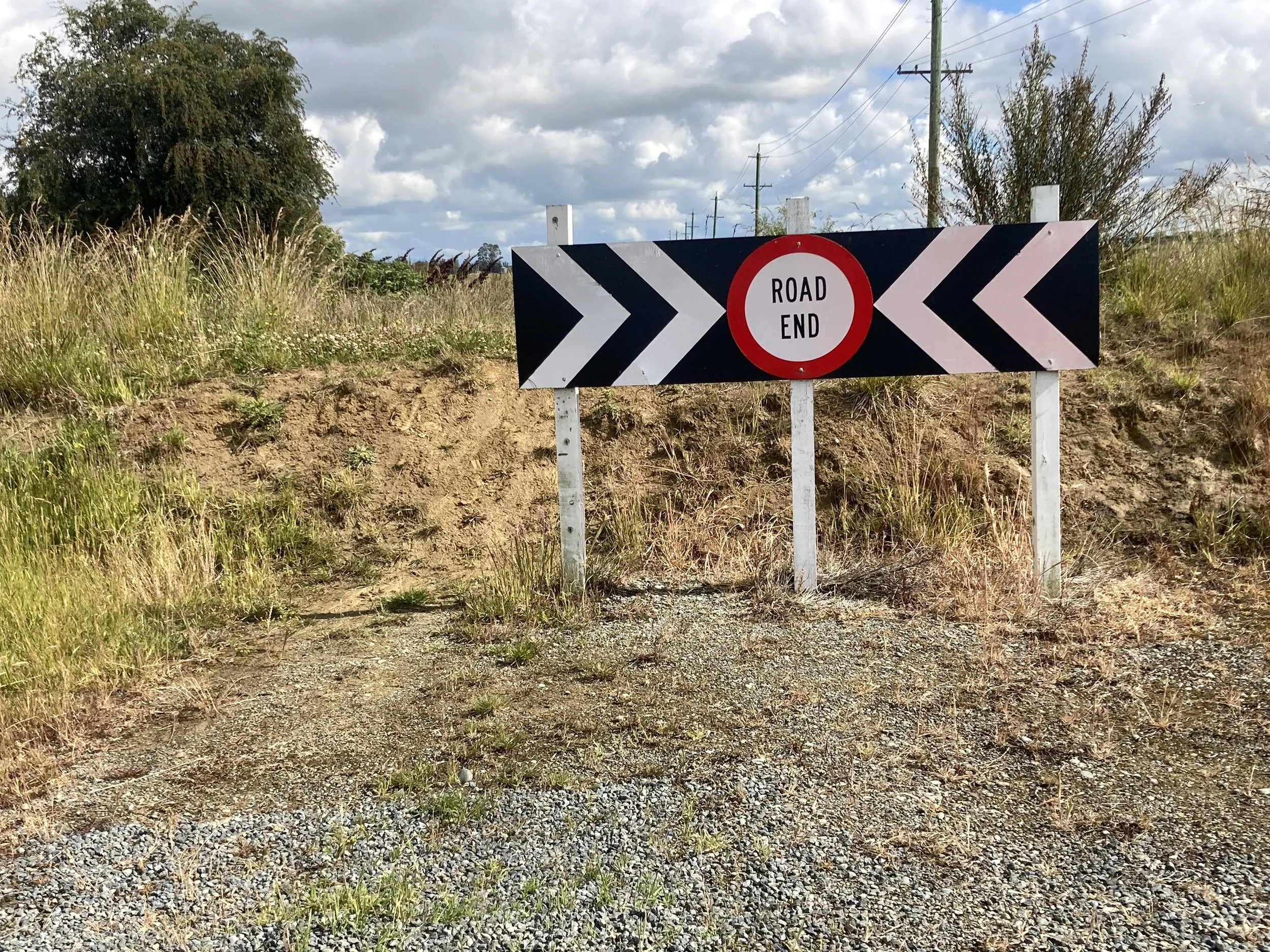
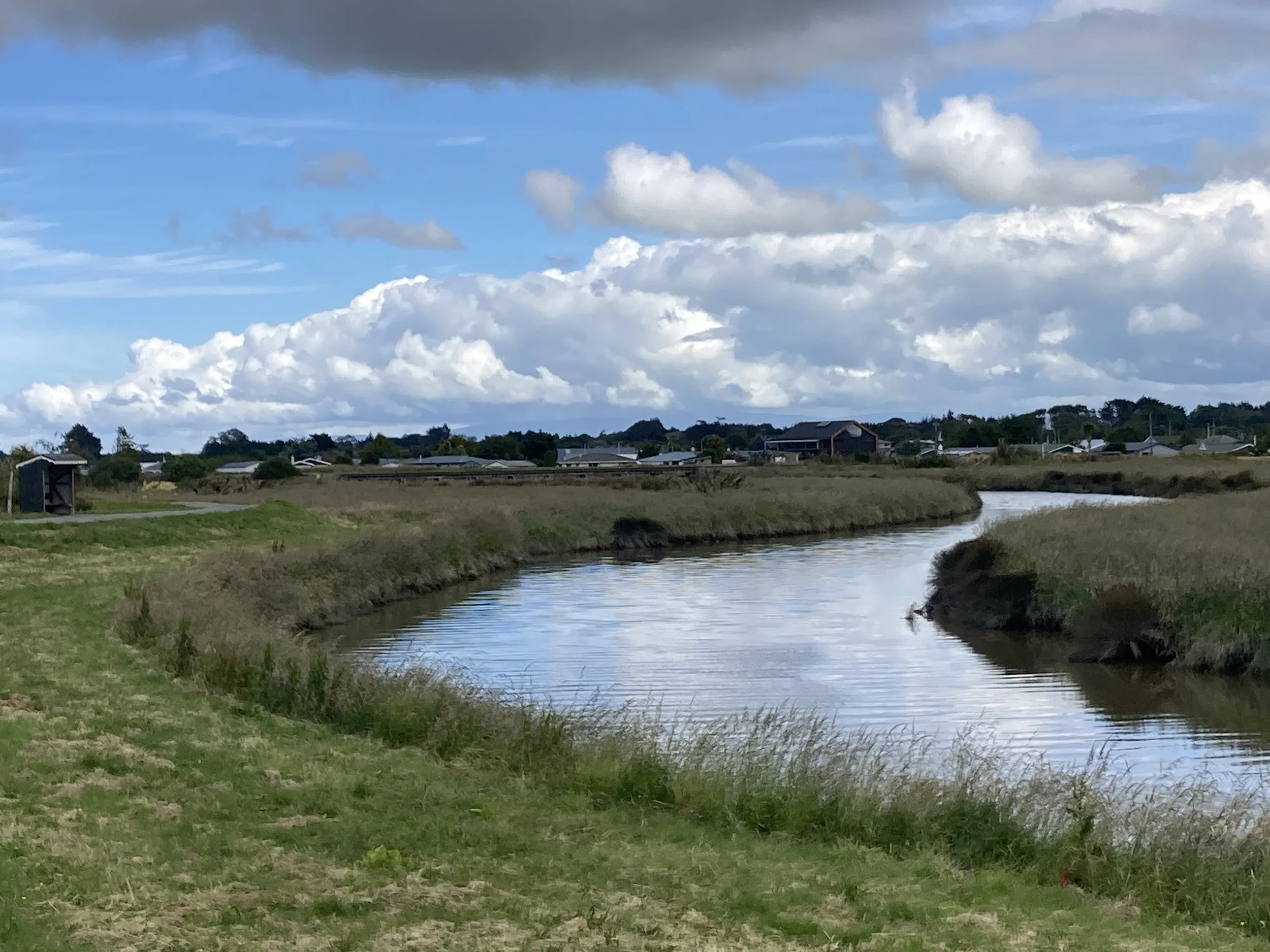
From left to right: I’ve never seen a sign with ellipsis dots used for effect, and in addition the writer was so serious they didn’t use the usual three, or turn up the intensity with four, they went all the way to five dots which hints at the kind of disturbing intensity seen on Midsomer Murders. Open road, no cars! Gravel roads aren’t my first choice, but the “No Exit” makes it interesting. Selfie while rolling down the road - selfies on gravel are risky business. This is the reason for the No Exit sign, the bike path continues straight ahead. More NZ views from the Invercargill bike path.
There's a lot of walkers with big hiking packs. I don't remember seeing any before today, but today I pass 5-10. All seem to be walking North; maybe they just started walking at Bluff? I probably should have stopped to ask but I was feeling impatient.
Because I'm ready to stop riding. It's been barely two weeks; practically just the warmup for some of the other rides! I can't remember how things were at this point on the ten-week rides. I do remember that the idea of stopping didn't come up, even though the weather was worse and the days were longer. Maybe it's all about the schedule? I suppose if I had another day's ride planned tomorrow I would do it...
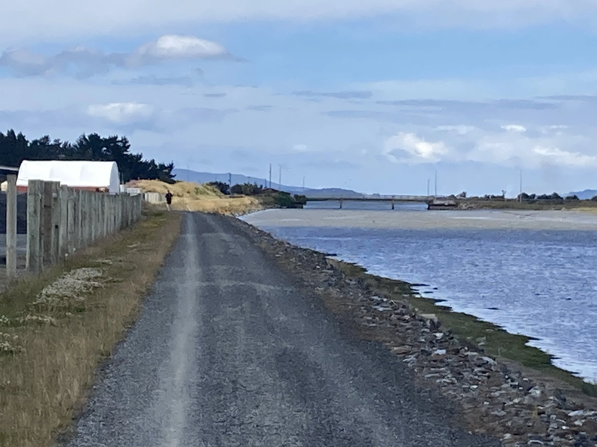
Anyway, time to finish things up. The bike path is respectable gravel, then it joins the main road but the shoulder is so wide I’m happy with it. It runs all the way to Bluff - no complaints.
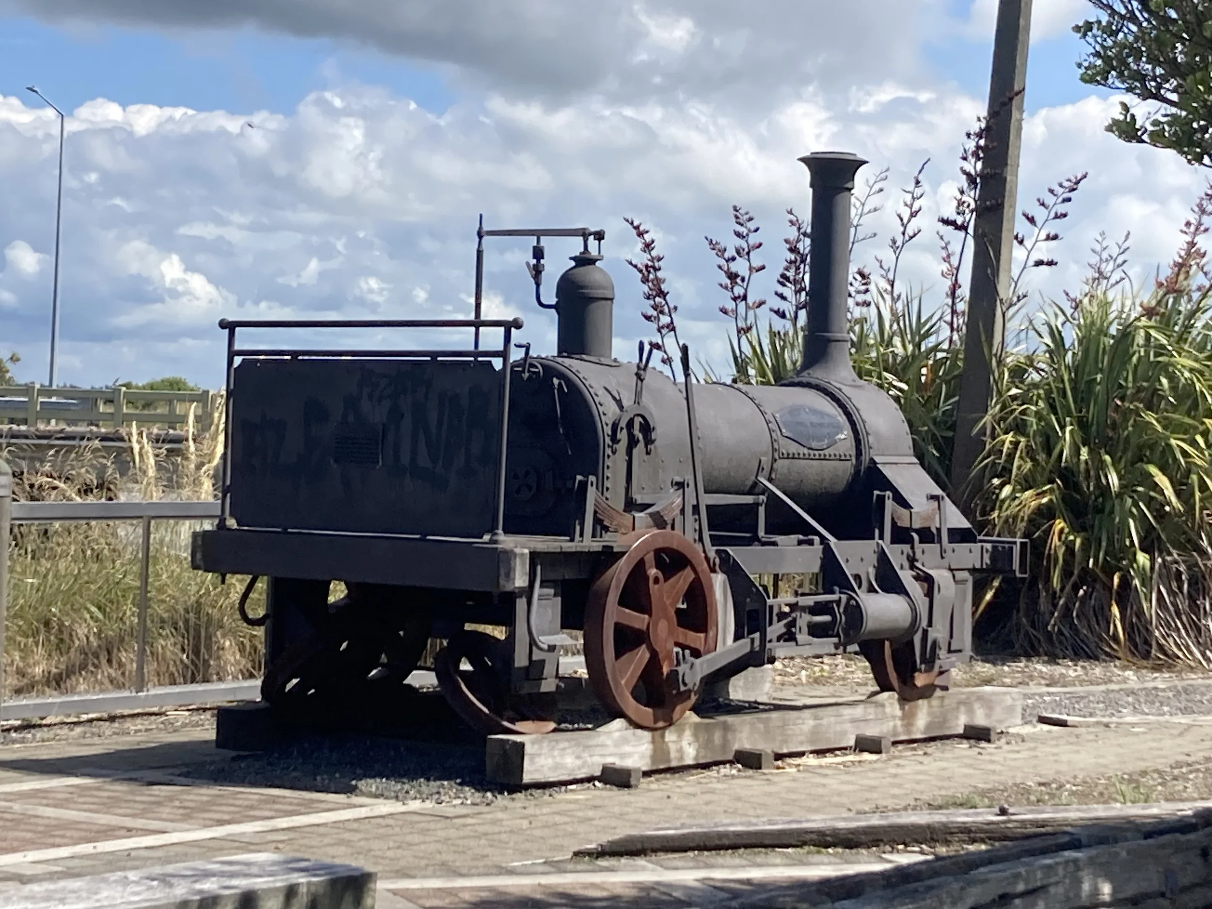
Bluff is actually a small town, established 1824 (according to the sign). It looks like it's been a support system for the port - lots of buildings and businesses for ship maintenance, or shipping. Not so much these days; many buildings are now run down or repurposed. Lots of tourists pass through but I can't see many things for them: a few hotels and a backpacker's lodge, but that's about it. It’s quiet, and the only busy places were takeaways. But it was a Sunday afternoon, maybe I didn't see it at its best.
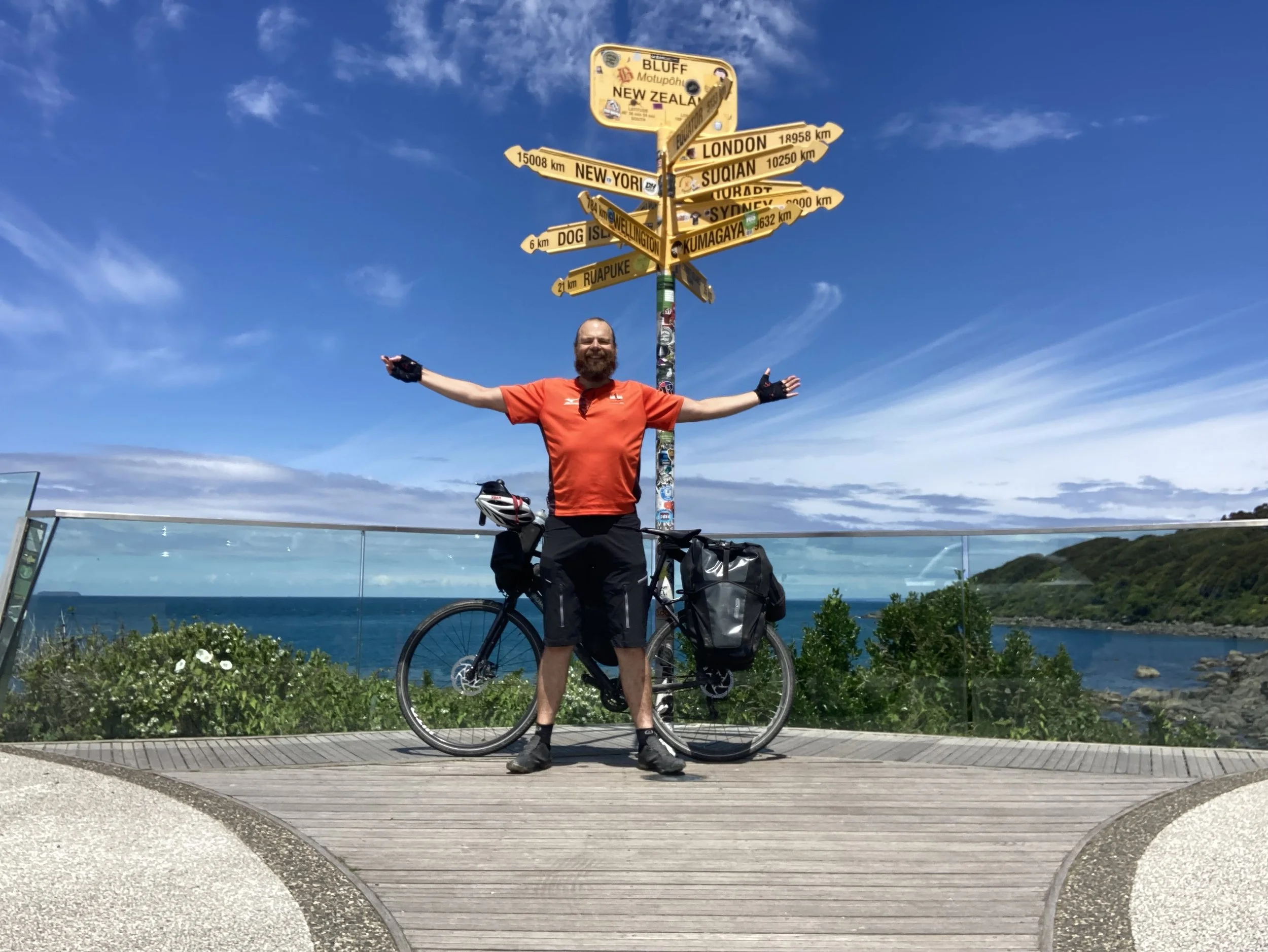
It's a short ride from there to the end of the road. It’s Stirling Point, and there is a scenic signpost with a great view, and signs pointing to distant cities. It’s been set up for photos, and there's a bit of a queue to take pictures with it: this being the Instagram age, the queue is a safe distance back and when it's your turn, the photos make it look like the place is deserted. I bring out the tripod for the occasion, but because of the queue I set it up in advance.
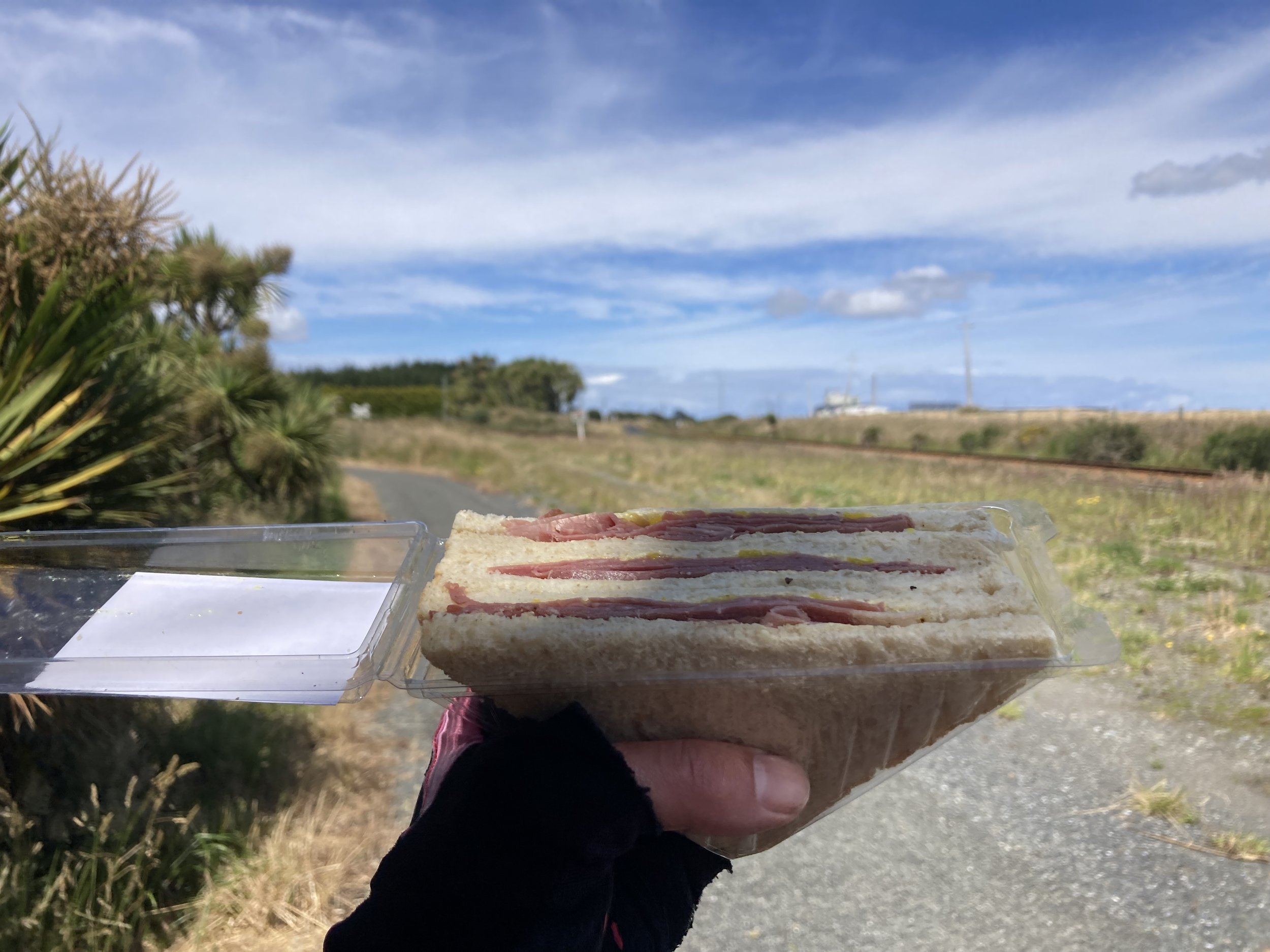
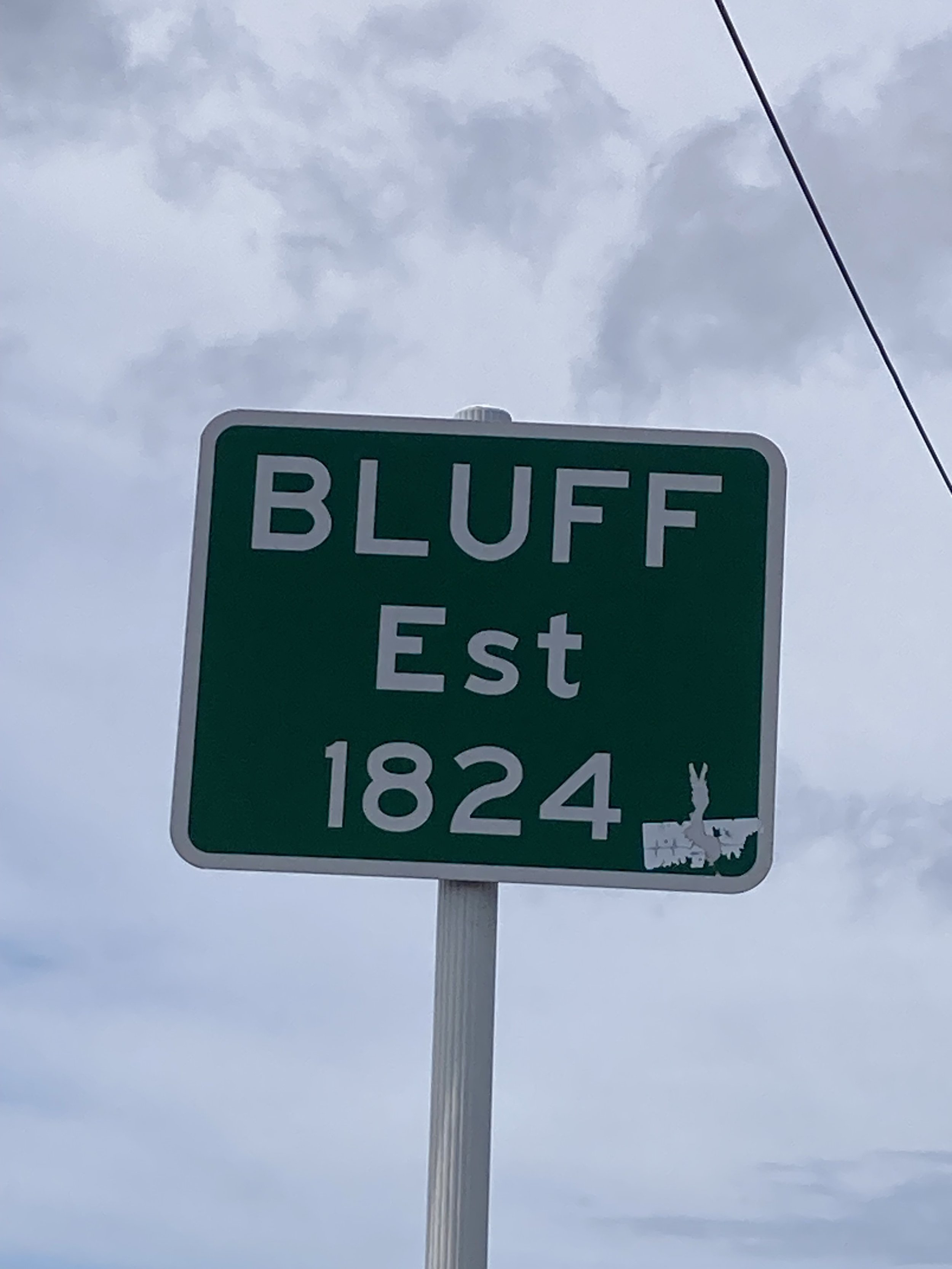
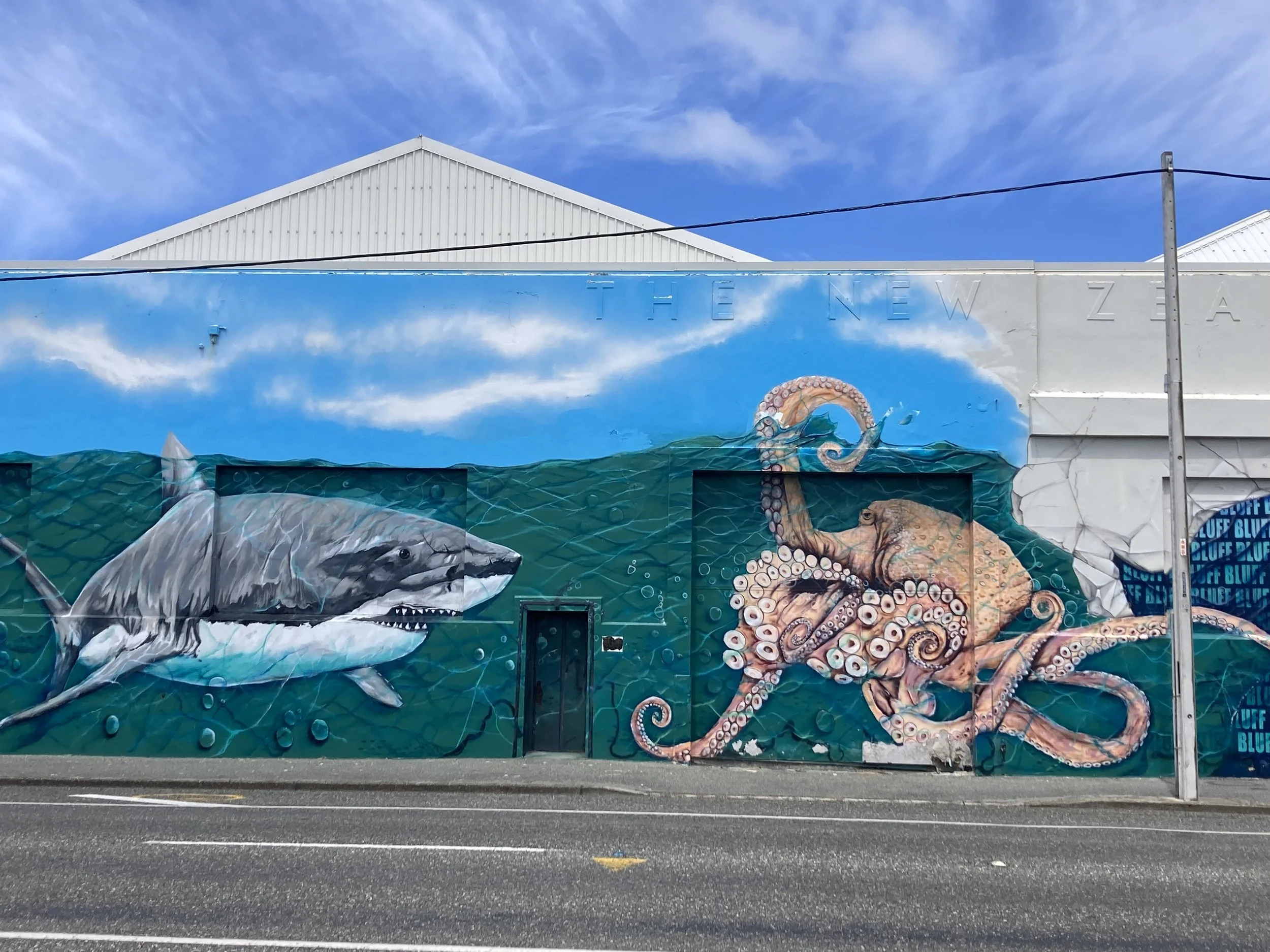
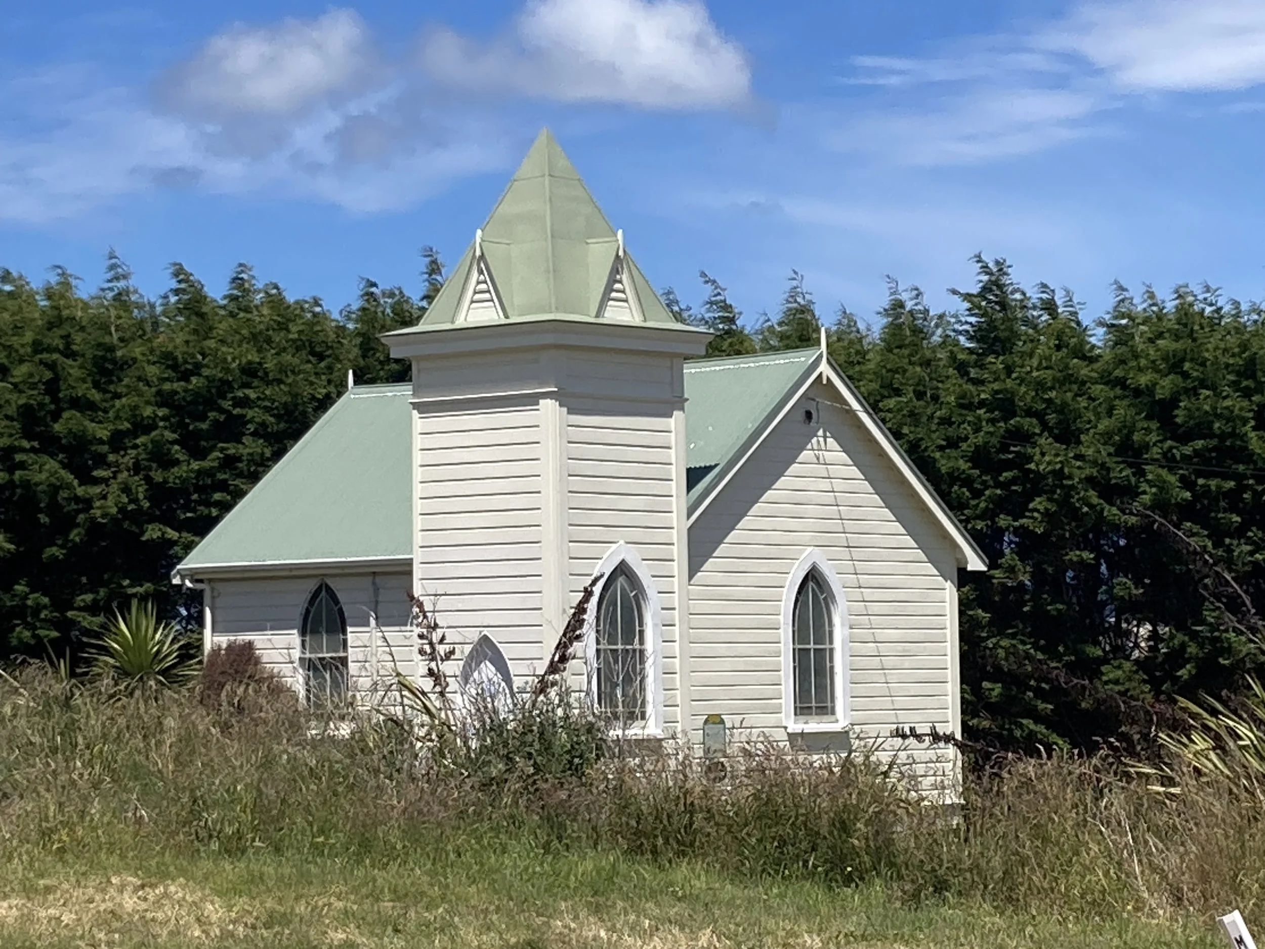
From left to right: Lunch views. Citation for that 1824 date. Bluff street art. A very small church. Views from the bike path. The end!
It's been a very varied trip! Being served all the options on the weather menu. Days so hot and sunny I took extra water. Days so cold I needed my fleece. Hail. Some really awful rain. No really offensive headwinds though, which is nice.
There’s also the Hokatika-Ross trail, which was excellent and is fully recommended. Kayaking in Franz Josef. Getting up to the Manutapu saddle. And down again. Rolling around Nelson looking for a bikeshop that works on drop handlebars. Running an 11-speed shifter on a 10-speed cassette the rest of the way. Totara River Rail Bridge. Getting a cheer after sprinting through the roadworks. The impenetrable fog at the top of the Cardrona pass. And the demonic sandflies...
Today is a great day though, nice and sunny without being too hot. No sandfly problems, thankfully. A good last day, which is the one that will be remembered.
But this was only the Southern half of NZ. The North Island awaits. Maybe next summer?