Day 6: Reefton-Greymouth
Change of plans today. The planned route to Greymouth included 33km of rough backroads, 4WD tracks or worse. And included visiting a backcountry hut, with the advice to sign the visitor's book for safety. A challenging mountainbike track apparently - but that's not a great fit for my gravel bike with 15kg of cargo plus water.
So I took the road instead. I'm still not sure if it was the right choice, but it's definitely the safe choice.
Actually maybe it wasn't the safe choice either. Most of the day was spent on State Highway 7 and it's not a good road for cycling. The shoulder was slim to nonexistent. And there was some fairly heavy traffic. So the day was spent riding down the white line, using the shoulder whenever possible, listening for traffic coming up from behind, and head checks when it wasn't clear. Several times there were trucks coming past with something in the other lane, and I'd roll onto the grass verge to make space, so we weren't three abreast. (I still won't trust other drivers.)
Another complication: the bridge into Greymouth I was planning to take was closed for maintenance. To avoid it I had to cross the river early and come into Greymouth on State Highway 7.
It was the worst section. There were often bridges and cuttings where there's barriers or walls instead of white lines and road shoulders, so I had to ride completely within the lane. Since there was no space at all during those sections I'd pull over and wait for the traffic to clear before going through. Then stand on the pedals to get through fast, duck left onto whatever shoulder there is afterwards, headcheck to see if anything is coming, and slow down or keep pace depending whether I need to give way or not. Hard work. No scares, but luck was probably part of it.
Not enjoyable. But about half the day was off the State Highway and on backroads. They still had some trucks and wide loads. But they're so quiet there's usually space for the drivers to cross the centerline when passing.


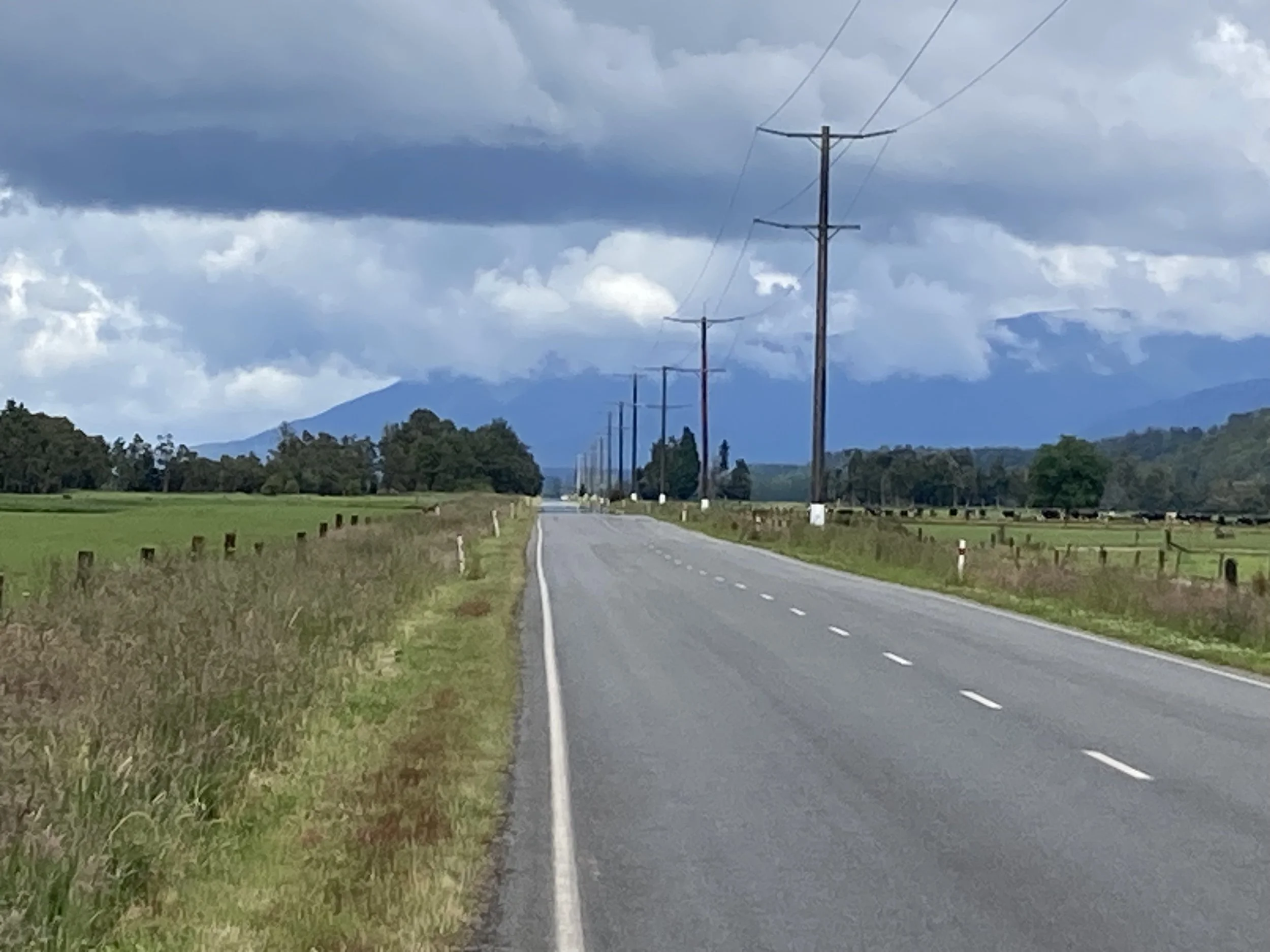


From left to right: only one river photo today, I’m keeping it down. Railway crossing. Nearly 1/3 of the way there. Long road with great mountains. Irrigation system, check out the individual bridges for each set of wheels so it can cross the river on the right. Graffiti roadsign on the way into Blackball. Me at Formerly The Blackball Hilton. And a family of flightless native birds was foraging in the hostel grounds, here’s one of the little ones.
Highlight of the day was visiting the pub named Formerly The Blackball Hilton. The original name might have come from the nearby road (Hilton St), or named after a director of the Blackball Coal Company. Or possibly as an ironic reference to the hotel chain? The Hilton hotel lawyers heard about it, and sent in a cease-and-desist letter. The pub did not cease nor desist, but the case was settled out of court before it escalated too far - they added the "Formerly" prefix to the name. And I do wonder if the Hilton lawyers agreed to it, or just found out after the fact and decided it wasnt worth pursuing…
I stopped in for a drink and a photo. The building is slightly over 100 years old; it's wooden and has been progressively refreshed so it's still in good shape.
Tomorrow is the ride to Hokitika. 8 hours, half on unpaved roads, hope it finishes on time. I’m thinking about taking a rest day, if it’s good in Hokitika I’ll stay there.